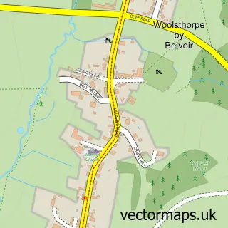
This Croxton Kerrial street map is a detailed vector street map covering a 750m x 750m area. Select a larger area to create and download your own vector street map of Croxton Kerrial.
The 750-metre map sample for Croxton Kerrial covers 161 mapped buildings and approximately 14.5 km of road detail, of which 13 named roads are named. The immediate area includes 1 school and 1 pub. The wider area around Croxton Kerrial features 1 food and drink venue. To create a larger or custom map of Croxton Kerrial, the map builder lets you define your own coverage area and download editable SVG, PDF and PNG files.
Create a larger editable map of Croxton Kerrial
Choose any area you need and generate a high-quality vector map instantly. Perfect for print, planning, design, business and personal use.

This Croxton Kerrial street map in Leicestershire is available as downloadable SVG, PDF and PNG map files, or as a printed map for planning, business, display, education, local information and design work. You can also create a larger custom map area using the map selector.
What this Croxton Kerrial map sample shows
Croxton Kerrial lies within Croxton Kerrial Cp parish, part of Croxton Kerrial ward in the Melton District (B) local authority area. The postcode geography for this area includes the NG postcode area, the NG32 postcode district and the NG32 1 postcode sector. Residents fall under the Nhs Leicester, Leicestershire And Rutland Integrated Care Board for NHS services.
Local features near Croxton Kerrial
Within 2 milesAmenities and services in and around Croxton Kerrial.
Administrative and postcode information for Croxton Kerrial
Croxton Kerrial lies within Croxton Kerrial Cp parish, part of Croxton Kerrial ward in the Melton District (B) local authority area. The postcode geography for this area includes the NG postcode area, the NG32 postcode district and the NG32 1 postcode sector. Residents fall under the Nhs Leicester, Leicestershire And Rutland Integrated Care Board for NHS services.
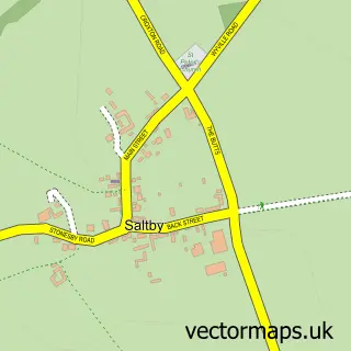
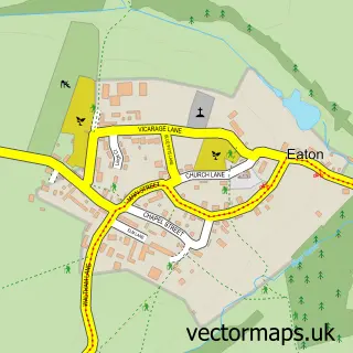
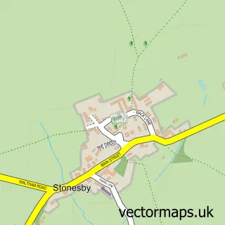
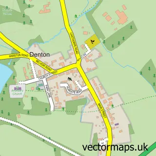
Nearby street map samples around Croxton Kerrial

More street maps in Leicestershire
750 metre map area coverage
Boundary, postcode and point of interest information for the 750m x 750m rectangle centred on this sample map.
Boundaries containing map centre
Constituency: Melton and Syston Co Const
County: Leicestershire County
District: Melton District (B)
Icb: NHS Leicester Leicestershire and Rutland ICB
Parish: Croxton Kerrial CP
Police Force: leicestershire
Postcode District: NG32
Postcode Sector: NG32 1
Ward: Croxton Kerrial Ward
Nearby boundaries intersecting sample
No additional intersecting boundaries found.
Postcode coverage
POI category counts
Farm: 2
Advertising Agency: 1
Bike Repair Maintenance: 1
Business To Business: 1
Convenience Store: 1
Doctor: 1
Elementary School: 1
Hunting And Fishing Supplies: 1
Key And Locksmith: 1
Music School: 1
Sample points of interest
- Ketchup Marketing Limited
- No Two Cycles
- Finola Delameres Studio Pottery
- Croxton Village Shop
- The Stack Yard Surgery
- Croxton Kerrial Primary School
- Cosmos Dexter Cattle
- Flavour Tales
- Roger Hurst Rods
- Phoenix Locksmiths Ltd
- Needhams Notes
- Elegant Nails
Create a larger editable map of Croxton Kerrial
This sample shows only a 750 metre area. To create a larger map of Croxton Kerrial, use our map builder to choose your own coverage area, add titles and download editable SVG, PDF and PNG files.
Create a custom map of Croxton Kerrial