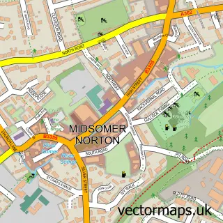
This Coleford street map is a detailed vector street map covering a 750m x 750m area. Select a larger area to create and download your own vector street map of Coleford.
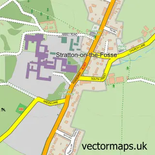
The 750-metre map sample for Coleford covers 175 mapped buildings and approximately 7.2 km of road detail, of which 8 named roads are named. The immediate area includes 1 GP surgery, 1 pub and 3 MOT stations within 2 miles. The wider area around Coleford features 1 food and drink venue and 1 hotel. To create a larger or custom map of Coleford, the map builder lets you define your own coverage area and download editable SVG, PDF and PNG files.
Create a larger editable map of Coleford
Choose any area you need and generate a high-quality vector map instantly. Perfect for print, planning, design, business and personal use.

This Coleford street map in Somerset is available as downloadable SVG, PDF and PNG map files, or as a printed map for planning, business, display, education, local information and design work. You can also create a larger custom map area using the map selector.
What this Coleford map sample shows
Coleford lies within Coleford Cp parish, part of Coleford And Holcombe ward in the Somerset local authority area. The postcode geography for this area includes the BA postcode area, the BA3 postcode district and the BA3 5 postcode sector. Residents fall under the Nhs Somerset Integrated Care Board for NHS services.
Local features near Coleford
Within 2 milesAmenities and services in and around Coleford.
Administrative and postcode information for Coleford
Coleford lies within Coleford Cp parish, part of Coleford And Holcombe ward in the Somerset local authority area. The postcode geography for this area includes the BA postcode area, the BA3 postcode district and the BA3 5 postcode sector. Residents fall under the Nhs Somerset Integrated Care Board for NHS services.
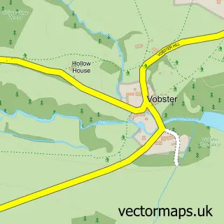
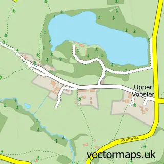
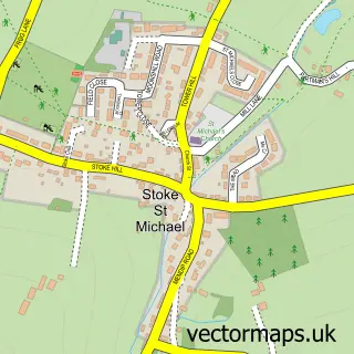
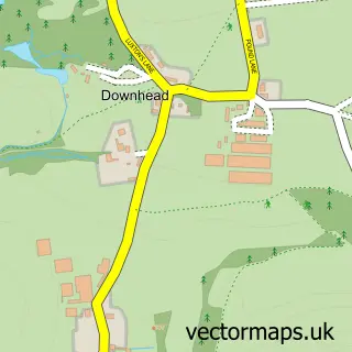
Nearby street map samples around Coleford

More street maps in Somerset
750 metre map area coverage
Boundary, postcode and point of interest information for the 750m x 750m rectangle centred on this sample map.
Boundaries containing map centre
Constituency: Frome and East Somerset Co Const
District: Somerset
Icb: NHS Somerset ICB
Parish: Coleford CP
Police Force: avon and somerset
Postcode District: BA3
Postcode Sector: BA3 5
Nearby boundaries intersecting sample
Parish: Leigh-on-Mendip CP
Postcode coverage
POI category counts
Alternative Medicine: 1
Anglican Church: 1
Electrician: 1
Hotel: 1
Medical Center: 1
Post Office: 1
Professional Services: 1
Pub: 1
Scout Hall: 1
Shipping Center: 1
Sample points of interest
- Health Creation Ltd.
- Holy Trinity Coleford, East Mendip Trinity Benefice
- Bondfield Electrical Services
- Hippys farm self catering cottage
- Health Creation
- Coleford Post Office
- Coleford Foodstore, Independent Foodbank
- The Kings Head
- 1st Coleford
- Post Office
Create a larger editable map of Coleford
This sample shows only a 750 metre area. To create a larger map of Coleford, use our map builder to choose your own coverage area, add titles and download editable SVG, PDF and PNG files.
Create a custom map of Coleford