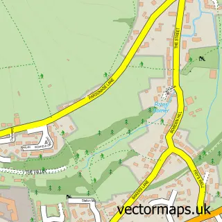
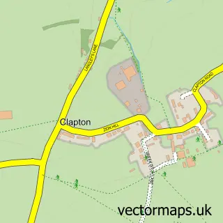
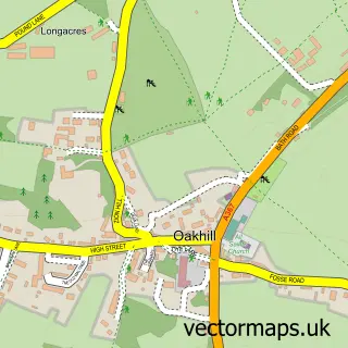
This Stratton on the Fosse street map is a detailed vector street map covering a 750m x 750m area. Select a larger area to create and download your own vector street map of Stratton on the Fosse.
The 750-metre map sample for Stratton on the Fosse covers 148 mapped buildings and approximately 9.7 km of road detail, of which 9 named roads are named. The immediate area includes 1 school, 2 pubs and 6 MOT stations within 2 miles. The wider area around Stratton on the Fosse features 2 food and drink venues and 1 hotel. To create a larger or custom map of Stratton on the Fosse, the map builder lets you define your own coverage area and download editable SVG, PDF and PNG files.
Create a larger editable map of Stratton on the Fosse
Choose any area you need and generate a high-quality vector map instantly. Perfect for print, planning, design, business and personal use.

This Stratton on the Fosse street map in Somerset is available as downloadable SVG, PDF and PNG map files, or as a printed map for planning, business, display, education, local information and design work. You can also create a larger custom map area using the map selector.
What this Stratton on the Fosse map sample shows
Stratton on the Fosse lies within Stratton On The Fosse Cp parish, part of Ashwick, Chilcompton And Stratton ward in the Somerset local authority area. The postcode geography for this area includes the BA postcode area, the BA3 postcode district and the BA3 4 postcode sector. Residents fall under the Nhs Somerset Integrated Care Board for NHS services.
Local features near Stratton on the Fosse
Within 2 milesAmenities and services in and around Stratton on the Fosse.
Administrative and postcode information for Stratton on the Fosse
Stratton on the Fosse lies within Stratton On The Fosse Cp parish, part of Ashwick, Chilcompton And Stratton ward in the Somerset local authority area. The postcode geography for this area includes the BA postcode area, the BA3 postcode district and the BA3 4 postcode sector. Residents fall under the Nhs Somerset Integrated Care Board for NHS services.
Nearby street map samples around Stratton on the Fosse
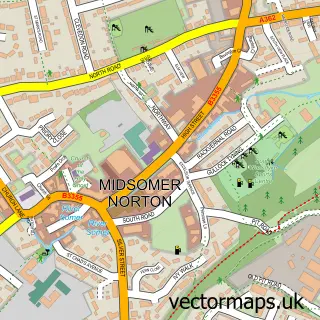

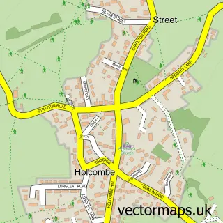
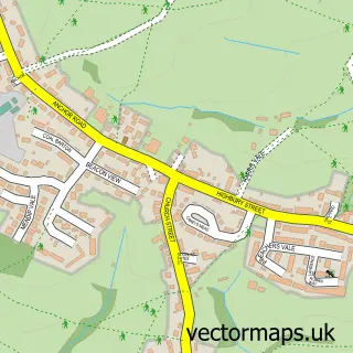
More street maps in Somerset
750 metre map area coverage
Boundary, postcode and point of interest information for the 750m x 750m rectangle centred on this sample map.
Boundaries containing map centre
Constituency: Frome and East Somerset Co Const
District: Somerset
Icb: NHS Somerset ICB
Parish: Stratton on the Fosse CP
Police Force: avon and somerset
Postcode District: BA3
Postcode Sector: BA3 4
Nearby boundaries intersecting sample
No additional intersecting boundaries found.
Postcode coverage
POI category counts
Building Supply Store: 2
Landscaping: 2
Pub: 2
Retirement Home: 2
Anglican Church: 1
Auto Electrical Repair: 1
Automotive Repair: 1
B2b Science And Technology: 1
Business Management Services: 1
Car Dealer: 1
Sample points of interest
- St. Vigor's, Stratton-on-the-Fosse
- Future Security Systems
- Stratton Motor Services
- Sciencescope
- Orbital Renovations
- Roger Hector - Painter and Decorator
- Bar2Ka Design & Editorial Services
- Rob Allen Cars
- St Benedict's Church
- Church of St Vigor
- Acorn Preservation
- Downside Abbey
Create a larger editable map of Stratton on the Fosse
This sample shows only a 750 metre area. To create a larger map of Stratton on the Fosse, use our map builder to choose your own coverage area, add titles and download editable SVG, PDF and PNG files.
Create a custom map of Stratton on the Fosse