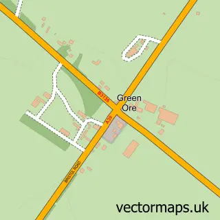
This Gurney Slade street map is a detailed vector street map covering a 750m x 750m area. Select a larger area to create and download your own vector street map of Gurney Slade.
The 750-metre map sample for Gurney Slade covers 115 mapped buildings and approximately 8.9 km of road detail, of which 8 named roads are named. The immediate area includes 1 GP surgery within 2 miles, 1 pub and 3 MOT stations within 2 miles. The wider area around Gurney Slade features 1 food and drink venue. To create a larger or custom map of Gurney Slade, the map builder lets you define your own coverage area and download editable SVG, PDF and PNG files.
Create a larger editable map of Gurney Slade
Choose any area you need and generate a high-quality vector map instantly. Perfect for print, planning, design, business and personal use.

This Gurney Slade street map in Somerset is available as downloadable SVG, PDF and PNG map files, or as a printed map for planning, business, display, education, local information and design work. You can also create a larger custom map area using the map selector.
What this Gurney Slade map sample shows
Gurney Slade lies within Binegar Cp parish, part of Ashwick, Chilcompton And Stratton ward in the Somerset local authority area. The postcode geography for this area includes the BA postcode area, the BA3 postcode district and the BA3 4 postcode sector. Residents fall under the Nhs Somerset Integrated Care Board for NHS services.
Local features near Gurney Slade
Within 2 milesAmenities and services in and around Gurney Slade.
Administrative and postcode information for Gurney Slade
Gurney Slade lies within Binegar Cp parish, part of Ashwick, Chilcompton And Stratton ward in the Somerset local authority area. The postcode geography for this area includes the BA postcode area, the BA3 postcode district and the BA3 4 postcode sector. Residents fall under the Nhs Somerset Integrated Care Board for NHS services.
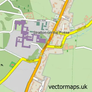
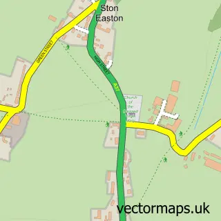
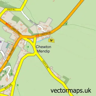
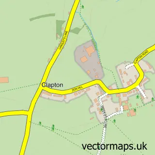
Nearby street map samples around Gurney Slade

More street maps in Somerset
750 metre map area coverage
Boundary, postcode and point of interest information for the 750m x 750m rectangle centred on this sample map.
Boundaries containing map centre
Constituency: Frome and East Somerset Co Const
District: Somerset
Icb: NHS Somerset ICB
Parish: Binegar CP
Police Force: avon and somerset
Postcode District: BA3
Postcode Sector: BA3 4
Nearby boundaries intersecting sample
Parish: Ashwick CP
Postcode coverage
POI category counts
Driving School: 2
Beauty Salon: 1
Construction Services: 1
Home Improvement Store: 1
Naturopathic Holistic: 1
Post Office: 1
Professional Services: 1
Pub: 1
Sandblasting Service: 1
Scout Hall: 1
Sample points of interest
- Pure Aesthetics Mendip
- Morris and Perry Ltd
- Belt Up School of Motoring
- Truck School
- Caravan Repairs Ltd.
- Hypnotherapy with Hannah
- Gurney Slade Stores
- Erect Scaffolding
- The George Inn
- Hyperblast Ltd
- 1st North Mendip Scout Group
Create a larger editable map of Gurney Slade
This sample shows only a 750 metre area. To create a larger map of Gurney Slade, use our map builder to choose your own coverage area, add titles and download editable SVG, PDF and PNG files.
Create a custom map of Gurney Slade