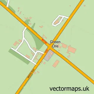
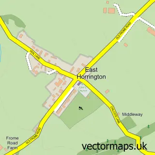
This Binegar street map is a detailed vector street map covering a 750m x 750m area. Select a larger area to create and download your own vector street map of Binegar.
The 750-metre map sample for Binegar covers 123 mapped buildings and approximately 8.2 km of road detail, of which 5 named roads are named. The immediate area includes 1 GP surgery within 2 miles, 2 pubs and 2 MOT stations within 2 miles. The wider area around Binegar features 2 food and drink venues and 1 hotel. To create a larger or custom map of Binegar, the map builder lets you define your own coverage area and download editable SVG, PDF and PNG files.
Create a larger editable map of Binegar
Choose any area you need and generate a high-quality vector map instantly. Perfect for print, planning, design, business and personal use.

This Binegar street map in Somerset is available as downloadable SVG, PDF and PNG map files, or as a printed map for planning, business, display, education, local information and design work. You can also create a larger custom map area using the map selector.
What this Binegar map sample shows
Binegar lies within Binegar Cp parish, part of Ashwick, Chilcompton And Stratton ward in the Somerset local authority area. The postcode geography for this area includes the BA postcode area, the BA3 postcode district and the BA3 4 postcode sector. Residents fall under the Nhs Somerset Integrated Care Board for NHS services.
Local features near Binegar
Within 2 milesAmenities and services in and around Binegar.
Administrative and postcode information for Binegar
The local authority covering Binegar is Somerset, within the county of Somerset. The settlement lies within Ashwick, Chilcompton And Stratton ward and Binegar Cp civil parish. The BA3 postcode district and BA3 4 postcode sector serve the immediate area. NHS provision in the area is delivered through Royal United Hospitals Bath Nhs Foundation Trust.
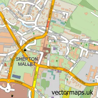
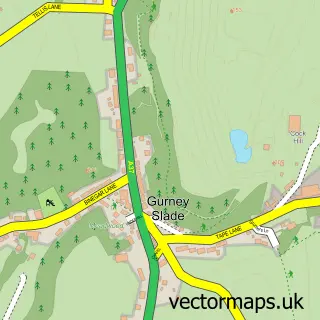
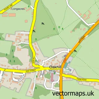
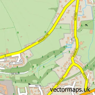
Nearby street map samples around Binegar

More street maps in Somerset
750 metre map area coverage
Boundary, postcode and point of interest information for the 750m x 750m rectangle centred on this sample map.
Boundaries containing map centre
Constituency: Frome and East Somerset Co Const
District: Somerset
Icb: NHS Somerset ICB
Parish: Binegar CP
Police Force: avon and somerset
Postcode District: BA3
Postcode Sector: BA3 4
Nearby boundaries intersecting sample
Constituency: Wells and Mendip Hills Co Const
Parish: Ashwick CP, Emborough CP
Postcode coverage
POI category counts
Pub: 2
Anglican Church: 1
Building Supply Store: 1
Business To Business: 1
Cabin: 1
Contractor: 1
Hotel: 1
Massage Therapy: 1
Metal Supplier: 1
Pet Boarding: 1
Sample points of interest
- Holy Trinity Church, Binegar
- The Woodworker
- cts Cleaning Supplies
- Beanacre Barn
- Chartspring
- The Beanacre Barn - 4 Star Holiday Cottage
- Acorn Natural Therapies
- Southwest Lasers
- Spindle Cottage Holidays
- Horse and Jockey Inn
- The Horse and Jockey Inn
- 1st North Mendip Scout Group
Create a larger editable map of Binegar
This sample shows only a 750 metre area. To create a larger map of Binegar, use our map builder to choose your own coverage area, add titles and download editable SVG, PDF and PNG files.
Create a custom map of Binegar