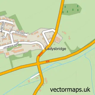
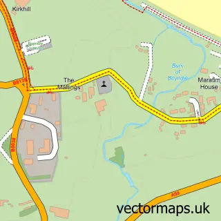
This Cornhill street map is a detailed vector street map covering a 750m x 750m area. Select a larger area to create and download your own vector street map of Cornhill.
The 750-metre map sample for Cornhill covers 103 mapped buildings and approximately 8.4 km of road detail, of which 4 named roads are named. The immediate area includes 1 MOT station. The wider area around Cornhill features 1 tourism point of interest. To create a larger or custom map of Cornhill, the map builder lets you define your own coverage area and download editable SVG, PDF and PNG files.
Create a larger editable map of Cornhill
Choose any area you need and generate a high-quality vector map instantly. Perfect for print, planning, design, business and personal use.

This Cornhill street map in Banffshire is available as downloadable SVG, PDF and PNG map files, or as a printed map for planning, business, display, education, local information and design work. You can also create a larger custom map area using the map selector.
What this Cornhill map sample shows
Cornhill lies within Aberdeenshire parish, part of Banff And District ward in the Aberdeenshire local authority area. The postcode geography for this area includes the AB postcode area, the AB45 postcode district and the AB45 2 postcode sector. Residents fall under the Grampian for NHS services.
Local features near Cornhill
Within 2 milesAmenities and services in and around Cornhill.
Administrative and postcode information for Cornhill
Cornhill lies within Aberdeenshire parish, part of Banff And District ward in the Aberdeenshire local authority area. The postcode geography for this area includes the AB postcode area, the AB45 postcode district and the AB45 2 postcode sector. Residents fall under the Grampian for NHS services.
Nearby street map samples around Cornhill
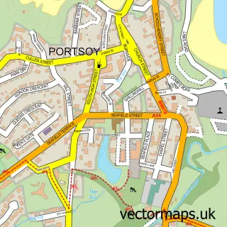

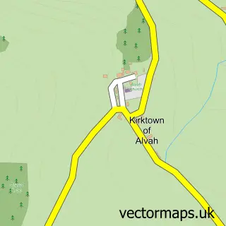
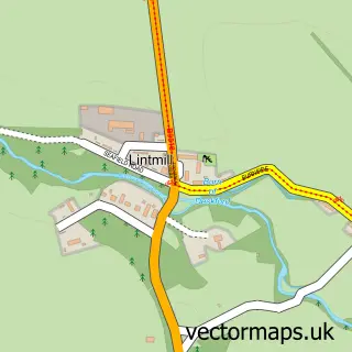
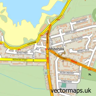
More street maps in Banffshire
750 metre map area coverage
Boundary, postcode and point of interest information for the 750m x 750m rectangle centred on this sample map.
Boundaries containing map centre
Constituency: Aberdeenshire North and Moray East Co Const
District: Aberdeenshire
Icb: Grampian
Postcode District: AB45
Postcode Sector: AB45 2
Ward: Banff and District Ward
Nearby boundaries intersecting sample
No additional intersecting boundaries found.
Postcode coverage
POI category counts
Arts And Entertainment: 1
Bar: 1
Business Management Services: 1
Car Dealer: 1
Catholic Church: 1
Dance School: 1
Farm: 1
Interior Design: 1
Mobility Equipment Services: 1
Park: 1
Sample points of interest
- Hay Memorial Hall Cornhill
- Gordon Arms
- Colin Smith Contractor
- Ewens of Cornhill
- Ordiquhill & Cornhill
- Let's Dance, Dance Studio
- Little Rowater - The Farm of Belting Ideers
- Interior Inspirations
- Motability Scheme at Ewens Honda Cornhill
- Whitehills Play Park
Create a larger editable map of Cornhill
This sample shows only a 750 metre area. To create a larger map of Cornhill, use our map builder to choose your own coverage area, add titles and download editable SVG, PDF and PNG files.
Create a custom map of Cornhill