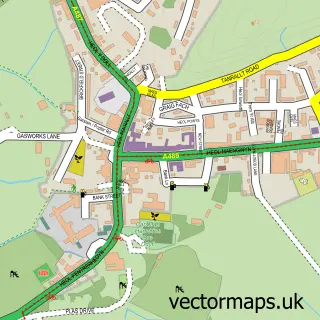
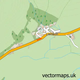
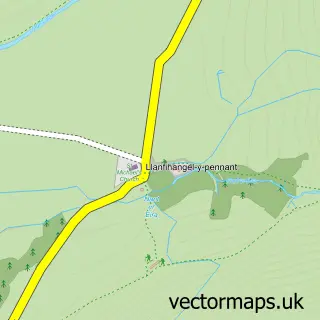
This Corris street map is a detailed vector street map covering a 750m x 750m area. Select a larger area to create and download your own vector street map of Corris.
The 750-metre map sample for Corris covers 104 mapped buildings and approximately 14.0 km of road detail, of which 7 named roads are named. The immediate area includes 1 school, 1 railway station and 2 pubs. The wider area around Corris features 2 food and drink venues, 3 hotels and 1 campsite within 2 miles. To create a larger or custom map of Corris, the map builder lets you define your own coverage area and download editable SVG, PDF and PNG files.
Create a larger editable map of Corris
Choose any area you need and generate a high-quality vector map instantly. Perfect for print, planning, design, business and personal use.

This Corris street map in Gwynedd is available as downloadable SVG, PDF and PNG map files, or as a printed map for planning, business, display, education, local information and design work. You can also create a larger custom map area using the map selector.
What this Corris map sample shows
Corris lies within Corris Community parish, part of Corris/Mawddwy ward in the Gwynedd - Gwynedd local authority area. The postcode geography for this area includes the SY postcode area, the SY20 postcode district and the SY20 9 postcode sector. Residents fall under the Betsi Cadwaladr University Health Board for NHS services.
Local features near Corris
Within 2 milesAmenities and services in and around Corris.
Administrative and postcode information for Corris
The local authority covering Corris is Gwynedd - Gwynedd, within the county of Gwynedd. The settlement lies within Corris/Mawddwy ward and Corris Community civil parish. The SY20 postcode district and SY20 9 postcode sector serve the immediate area. NHS provision in the area is delivered through Betsi Cadwaladr University Health Board.
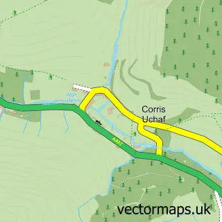
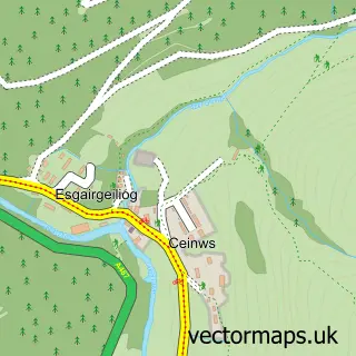
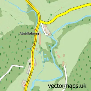
Nearby street map samples around Corris

More street maps in Gwynedd
750 metre map area coverage
Boundary, postcode and point of interest information for the 750m x 750m rectangle centred on this sample map.
Boundaries containing map centre
Constituency: Dwyfor Meirionnydd Co Const
District: Gwynedd - Gwynedd
Icb: Betsi Cadwaladr University
Parish: Corris Community
Police Force: north wales
Postcode District: SY20
Postcode Sector: SY20 9
Nearby boundaries intersecting sample
Constituency: Montgomeryshire and Glyndwr Co Const
District: Powys - Powys
Icb: Powys Teaching
Parish: Glantwymyn Community
Police Force: dyfed-powys
Postcode coverage
POI category counts
Education: 3
Hotel: 3
Pub: 2
Active Life: 1
Art Gallery: 1
Construction Services: 1
Cottage: 1
Environmental Conservation Organization: 1
Hostel: 1
Insurance Agency: 1
Sample points of interest
- Rikki Barratt MTB
- Stiwdio Maelor
- Corris Railway Company Limited
- Ty Golchi Corris
- Ysgol Gwynedd Corris Primary School
- Ysgol Gynradd Corris Primary School
- Ysgol Gynradd Dyffryn Dulas
- Institiwt Corris
- Corris Hostel
- Glanydon Breaks
- Tan Y Bryn Holiday Cottage Corris
- The Granary Corris
Create a larger editable map of Corris
This sample shows only a 750 metre area. To create a larger map of Corris, use our map builder to choose your own coverage area, add titles and download editable SVG, PDF and PNG files.
Create a custom map of Corris