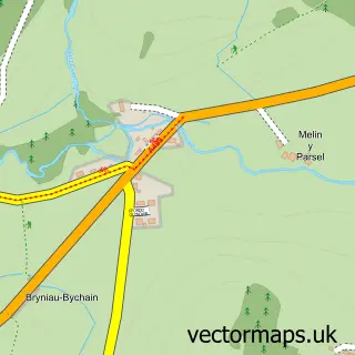
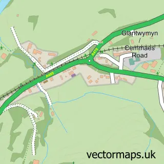
This Machynlleth street map is a detailed vector street map covering a 750m x 750m area. Select a larger area to create and download your own vector street map of Machynlleth.
The 750-metre map sample for Machynlleth covers 219 mapped buildings and approximately 12.4 km of road detail, of which 27 named roads are named. The immediate area includes 3 pubs and 1 MOT station, with 2 within 2 miles. The wider area around Machynlleth features 7 tourism points of interest, 19 food and drink venues and 4 hotels. To create a larger or custom map of Machynlleth, the map builder lets you define your own coverage area and download editable SVG, PDF and PNG files.
Create a larger editable map of Machynlleth
Choose any area you need and generate a high-quality vector map instantly. Perfect for print, planning, design, business and personal use.

This Machynlleth street map in Powys is available as downloadable SVG, PDF and PNG map files, or as a printed map for planning, business, display, education, local information and design work. You can also create a larger custom map area using the map selector.
What this Machynlleth map sample shows
Machynlleth lies within Machynlleth Community parish, part of Machynlleth ward in the Powys - Powys local authority area. The postcode geography for this area includes the SY postcode area, the SY20 postcode district and the SY20 8 postcode sector. Residents fall under the Powys Teaching Health Board for NHS services.
Local features near Machynlleth
Within 2 milesAmenities and services in and around Machynlleth.
Administrative and postcode information for Machynlleth
Machynlleth lies within Machynlleth Community parish, part of Machynlleth ward in the Powys - Powys local authority area. The postcode geography for this area includes the SY postcode area, the SY20 postcode district and the SY20 8 postcode sector. Residents fall under the Powys Teaching Health Board for NHS services.
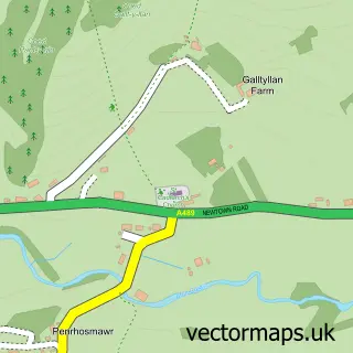
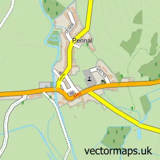
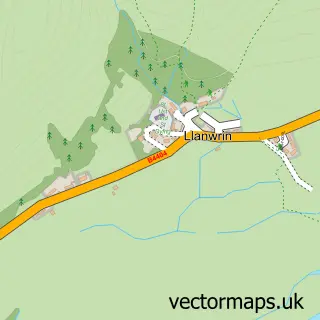
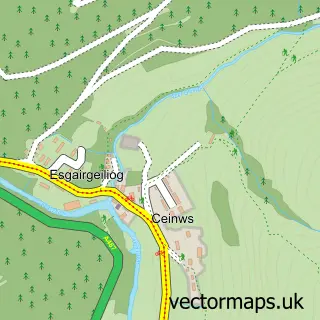
Nearby street map samples around Machynlleth

More street maps in Powys
750 metre map area coverage
Boundary, postcode and point of interest information for the 750m x 750m rectangle centred on this sample map.
Boundaries containing map centre
Constituency: Montgomeryshire and Glyndwr Co Const
District: Powys - Powys
Icb: Powys Teaching
Parish: Machynlleth Community
Police Force: dyfed-powys
Postcode District: SY20
Postcode Sector: SY20 8
Nearby boundaries intersecting sample
No additional intersecting boundaries found.
Postcode coverage
POI category counts
Professional Services: 8
Coffee Shop: 6
Restaurant: 6
Bakery: 4
Beauty Salon: 4
Cafe: 4
Flowers And Gifts Shop: 4
Hotel: 4
Landmark And Historical Building: 4
Antique Store: 3
Sample points of interest
- Bwlcheinion Sea View
- Peroryn's Eco-Retreats
- Bro Ddyfi Leisure Centre
- Machynlleth Homeopathy Centre
- Dyfi Valley Antiques
- The Emporium Antiques Centre
- The Old Vault. Antiques and Collectables
- OOO Studio Architects
- MOMA Machynlleth
- Oriel Seren
- Museum Of Modern Art
- Cariad
Create a larger editable map of Machynlleth
This sample shows only a 750 metre area. To create a larger map of Machynlleth, use our map builder to choose your own coverage area, add titles and download editable SVG, PDF and PNG files.
Create a custom map of Machynlleth