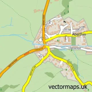
This Cowbridge street map is a detailed vector street map covering a 750m x 750m area. Select a larger area to create and download your own vector street map of Cowbridge.
The 750-metre map sample for Cowbridge covers 343 mapped buildings and approximately 18.6 km of road detail, of which 30 named roads are named. The immediate area includes 2 schools, 6 pubs and 1 MOT station. The wider area around Cowbridge features 4 tourism points of interest, 19 food and drink venues and 2 hotels. To create a larger or custom map of Cowbridge, the map builder lets you define your own coverage area and download editable SVG, PDF and PNG files.
Create a larger editable map of Cowbridge
Choose any area you need and generate a high-quality vector map instantly. Perfect for print, planning, design, business and personal use.

This Cowbridge street map in South Glamorgan is available as downloadable SVG, PDF and PNG map files, or as a printed map for planning, business, display, education, local information and design work. You can also create a larger custom map area using the map selector.
What this Cowbridge map sample shows
Cowbridge lies within Cowbridge With Llanblethian Community parish, part of Cowbridge ward in the Bro Morgannwg - The Vale Of Glamorgan local authority area. The postcode geography for this area includes the CF postcode area, the CF71 postcode district and the CF71 7 postcode sector. Residents fall under the Cardiff And Vale University Health Board for NHS services.
Local features near Cowbridge
Within 2 milesAmenities and services in and around Cowbridge.
Administrative and postcode information for Cowbridge
Cowbridge lies within Cowbridge With Llanblethian Community parish, part of Cowbridge ward in the Bro Morgannwg - The Vale Of Glamorgan local authority area. The postcode geography for this area includes the CF postcode area, the CF71 postcode district and the CF71 7 postcode sector. Residents fall under the Cardiff And Vale University Health Board for NHS services.
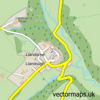
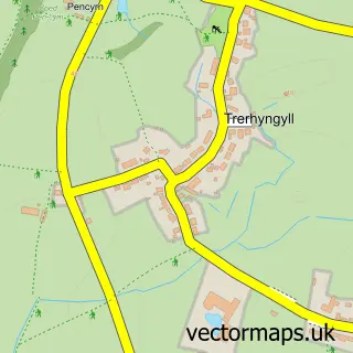
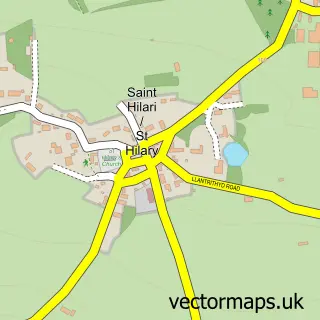
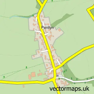
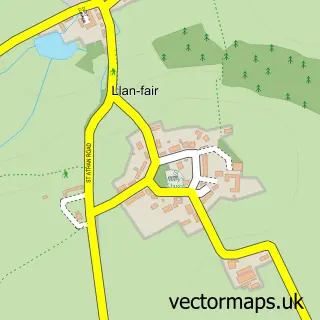
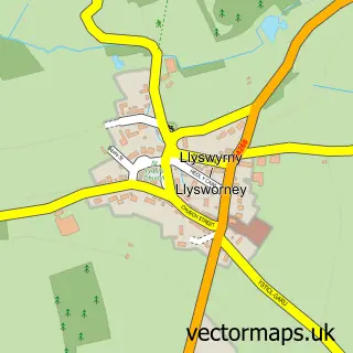
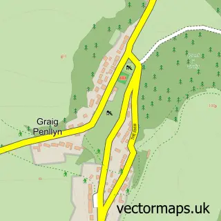
Nearby street map samples around Cowbridge


More street maps in South Glamorgan
750 metre map area coverage
Boundary, postcode and point of interest information for the 750m x 750m rectangle centred on this sample map.
Boundaries containing map centre
Constituency: Vale of Glamorgan Co Const
District: Bro Morgannwg - the Vale of Glamorgan
Icb: Cardiff and Vale University
Parish: Cowbridge with Llanblethian Community
Police Force: south wales
Postcode District: CF71
Postcode Sector: CF71 7
Nearby boundaries intersecting sample
No additional intersecting boundaries found.
Postcode coverage
POI category counts
Clothing Store: 16
Hair Salon: 8
Art Gallery: 6
Cafe: 6
Flowers And Gifts Shop: 6
Professional Services: 6
Pub: 6
Womens Clothing Store: 6
Bank Credit Union: 5
Beauty Salon: 5
Sample points of interest
- Aims Accountants For Business
- Russell Heath Accoutants
- Yvette Haines Acupuncture
- Vale Courses
- Keith Brown & Sons
- FUW Glamorgan
- Watts & Morgan Rural
- British Red Cross
- Doddle Cowbridge - Cancer Research UK
- Sovereign Antiques
- Tenovus
- The Linen Cupboard
Create a larger editable map of Cowbridge
This sample shows only a 750 metre area. To create a larger map of Cowbridge, use our map builder to choose your own coverage area, add titles and download editable SVG, PDF and PNG files.
Create a custom map of Cowbridge