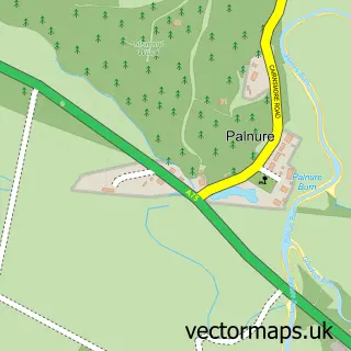
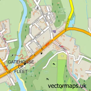
This Creetown street map is a detailed vector street map covering a 750m x 750m area. Select a larger area to create and download your own vector street map of Creetown.
The 750-metre map sample for Creetown covers 165 mapped buildings and approximately 17.7 km of road detail, of which 21 named roads are named. The immediate area includes 1 pub and 1 MOT station within 2 miles. The wider area around Creetown features 4 tourism points of interest, 1 food and drink venue and 3 hotels. To create a larger or custom map of Creetown, the map builder lets you define your own coverage area and download editable SVG, PDF and PNG files.
Create a larger editable map of Creetown
Choose any area you need and generate a high-quality vector map instantly. Perfect for print, planning, design, business and personal use.

This Creetown street map in Wigtown is available as downloadable SVG, PDF and PNG map files, or as a printed map for planning, business, display, education, local information and design work. You can also create a larger custom map area using the map selector.
What this Creetown map sample shows
Creetown lies within Dumfries And Galloway parish, part of Mid Galloway And Wigtown West ward in the Dumfries And Galloway local authority area. The postcode geography for this area includes the DG postcode area, the DG8 postcode district and the DG8 7 postcode sector. Residents fall under the Dumfries And Galloway for NHS services.
Local features near Creetown
Within 2 milesAmenities and services in and around Creetown.
Administrative and postcode information for Creetown
The local authority covering Creetown is Dumfries And Galloway, within the county of Wigtown. The settlement lies within Mid Galloway And Wigtown West ward and Dumfries And Galloway civil parish. The DG8 postcode district and DG8 7 postcode sector serve the immediate area. NHS provision in the area is delivered through Dumfries And Galloway.
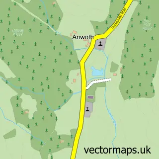
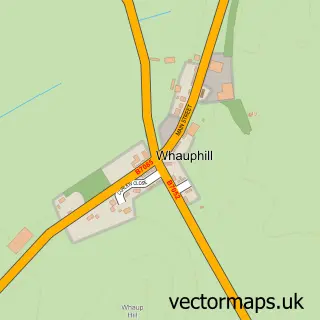
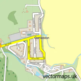
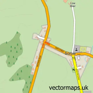
Nearby street map samples around Creetown

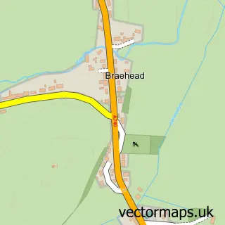
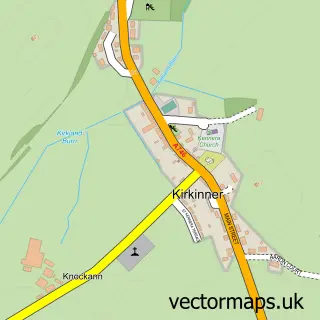
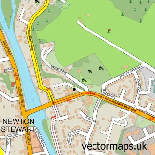
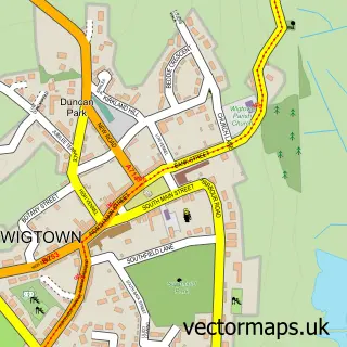
More street maps in Wigtown

750 metre map area coverage
Boundary, postcode and point of interest information for the 750m x 750m rectangle centred on this sample map.
Boundaries containing map centre
Constituency: Dumfries and Galloway Co Const
District: Dumfries and Galloway
Icb: Dumfries and Galloway
Postcode District: DG8
Postcode Sector: DG8 7
Ward: Mid Galloway and Wigtown West Ward
Nearby boundaries intersecting sample
No additional intersecting boundaries found.
Postcode coverage
POI category counts
Convenience Store: 2
Holiday Rental Home: 2
Hotel: 2
Museum: 2
Animal Shelter: 1
Butcher Shop: 1
Campground: 1
Carpenter: 1
Charity Organization: 1
Community Services Non Profits: 1
Sample points of interest
- Beech Bank Kennels and Cattery
- William Lindsay Family Butchers
- Castle Cary Holiday Park
- Creetown Studio
- Ferry Friends, Creetown Initiative
- Creetown Initiative
- Premier
- Premier Creetown Stores
- Cairnsmore Medical Practice (Creetown)
- Creetown Primary School
- Creetown Stores
- Kickstart Fitness
Create a larger editable map of Creetown
This sample shows only a 750 metre area. To create a larger map of Creetown, use our map builder to choose your own coverage area, add titles and download editable SVG, PDF and PNG files.
Create a custom map of Creetown