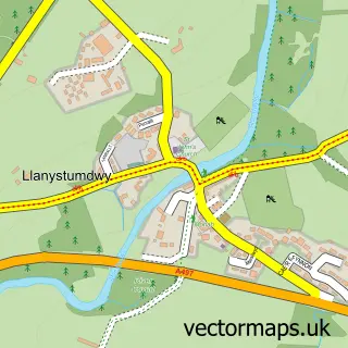
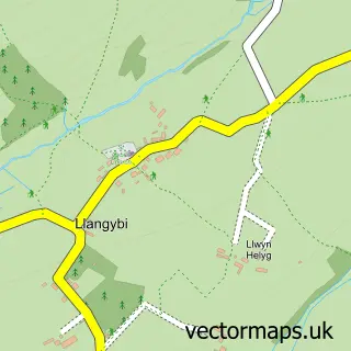
This Criccieth street map is a detailed vector street map covering a 750m x 750m area. Select a larger area to create and download your own vector street map of Criccieth.
The 750-metre map sample for Criccieth covers 315 mapped buildings and approximately 14.9 km of road detail, of which 19 named roads are named. The immediate area includes 1 railway station, 3 pubs and 1 MOT station. The wider area around Criccieth features 4 tourism points of interest, 12 food and drink venues and 6 hotels. To create a larger or custom map of Criccieth, the map builder lets you define your own coverage area and download editable SVG, PDF and PNG files.
Create a larger editable map of Criccieth
Choose any area you need and generate a high-quality vector map instantly. Perfect for print, planning, design, business and personal use.

This Criccieth street map in Gwynedd is available as downloadable SVG, PDF and PNG map files, or as a printed map for planning, business, display, education, local information and design work. You can also create a larger custom map area using the map selector.
What this Criccieth map sample shows
Criccieth lies within Criccieth Community parish, part of Criccieth ward in the Gwynedd - Gwynedd local authority area. The postcode geography for this area includes the LL postcode area, the LL52 postcode district and the LL52 0 postcode sector. Residents fall under the Betsi Cadwaladr University Health Board for NHS services.
Local features near Criccieth
Within 2 milesAmenities and services in and around Criccieth.
Administrative and postcode information for Criccieth
The local authority covering Criccieth is Gwynedd - Gwynedd, within the county of Gwynedd. The settlement lies within Criccieth ward and Criccieth Community civil parish. The LL52 postcode district and LL52 0 postcode sector serve the immediate area. NHS provision in the area is delivered through Betsi Cadwaladr University Health Board.
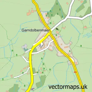
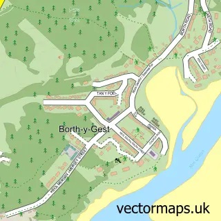
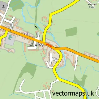
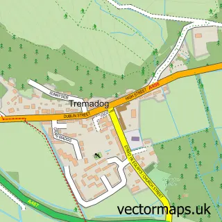
Nearby street map samples around Criccieth

More street maps in Gwynedd
750 metre map area coverage
Boundary, postcode and point of interest information for the 750m x 750m rectangle centred on this sample map.
Boundaries containing map centre
Constituency: Dwyfor Meirionnydd Co Const
District: Gwynedd - Gwynedd
Icb: Betsi Cadwaladr University
Parish: Criccieth Community
Police Force: north wales
Postcode District: LL52
Postcode Sector: LL52 0
Nearby boundaries intersecting sample
No additional intersecting boundaries found.
Postcode coverage
POI category counts
Flowers And Gifts Shop: 6
Hotel: 6
Convenience Store: 5
Car Dealer: 4
Restaurant: 4
Beauty Salon: 3
Church Cathedral: 3
Coffee Shop: 3
Fish And Chips Restaurant: 3
Hair Salon: 3
Sample points of interest
- Criccieth Seafront
- J T Thomas & Co.
- JTT Accounts
- St Catherine's Church
- Criccieth Gallery Antiques
- Yr Oriel Criccieth Antiques and Vintage
- Golden Eagle
- Robert Dafydd Cadwalader - Y Stiwdio
- Pines Care Home
- G.F. Evans and Sons Ltd
- Idris Cafe
- Barbwr O-S-H Barber
Create a larger editable map of Criccieth
This sample shows only a 750 metre area. To create a larger map of Criccieth, use our map builder to choose your own coverage area, add titles and download editable SVG, PDF and PNG files.
Create a custom map of Criccieth