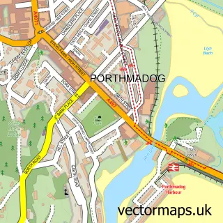
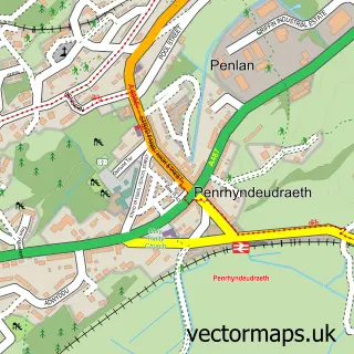
This Borth-y-Gêst street map is a detailed vector street map covering a 750m x 750m area. Select a larger area to create and download your own vector street map of Borth-y-Gêst.
The 750-metre map sample for Borth-y-Gêst covers 174 mapped buildings and approximately 7.5 km of road detail, of which 11 named roads are named. The immediate area includes 1 school, 1 GP surgery within 2 miles and 1 MOT station, with 5 within 2 miles. The wider area around Borth-y-Gêst features 2 food and drink venues, 3 hotels and 4 campsites within 2 miles. To create a larger or custom map of Borth-y-Gêst, the map builder lets you define your own coverage area and download editable SVG, PDF and PNG files.
Create a larger editable map of Borth-y-Gêst
Choose any area you need and generate a high-quality vector map instantly. Perfect for print, planning, design, business and personal use.

This Borth-y-Gêst street map in Gwynedd is available as downloadable SVG, PDF and PNG map files, or as a printed map for planning, business, display, education, local information and design work. You can also create a larger custom map area using the map selector.
What this Borth-y-Gêst map sample shows
Borth-y-Gêst lies within Porthmadog Community parish, part of Porthmadog West ward in the Gwynedd - Gwynedd local authority area. The postcode geography for this area includes the LL postcode area, the LL49 postcode district and the LL49 9 postcode sector. Residents fall under the Betsi Cadwaladr University Health Board for NHS services.
Local features near Borth-y-Gêst
Within 2 milesAmenities and services in and around Borth-y-Gêst.
Administrative and postcode information for Borth-y-Gêst
Borth-y-Gêst lies within Porthmadog Community parish, part of Porthmadog West ward in the Gwynedd - Gwynedd local authority area. The postcode geography for this area includes the LL postcode area, the LL49 postcode district and the LL49 9 postcode sector. Residents fall under the Betsi Cadwaladr University Health Board for NHS services.
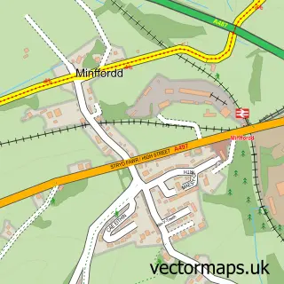
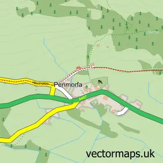
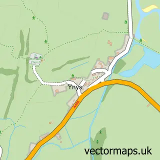
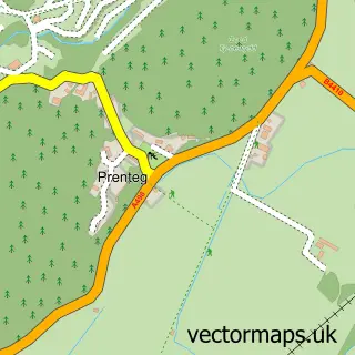
Nearby street map samples around Borth-y-Gêst

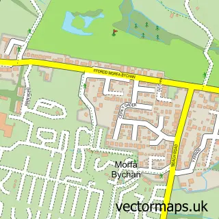
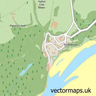
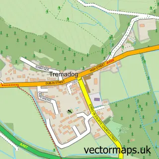
More street maps in Gwynedd
750 metre map area coverage
Boundary, postcode and point of interest information for the 750m x 750m rectangle centred on this sample map.
Boundaries containing map centre
Constituency: Dwyfor Meirionnydd Co Const
District: Gwynedd - Gwynedd
Icb: Betsi Cadwaladr University
Parish: Porthmadog Community
Police Force: north wales
Postcode District: LL49
Postcode Sector: LL49 9
Nearby boundaries intersecting sample
Parish: Penrhyndeudraeth Community, Talsarnau Community
Postcode coverage
POI category counts
Hotel: 3
Cafe: 2
Beach: 1
Bed And Breakfast: 1
Cottage: 1
Delicatessen: 1
Elementary School: 1
Holiday Rental Home: 1
Pet Boarding: 1
Retirement Home: 1
Sample points of interest
- Borth Y Gest
- Velog B & B
- Sea View Tea Rooms
- Seaview Cafe Bistro & Coffee Lounge
- Kindly Light Beach House
- Bae Borth Deli Bar
- Ysgol Borthygest
- 54 Tan y Foel
- Bron Afon
- Bron Afon
- Hyfrydle, Ralph St
- Holiday Cottages North Wales
Create a larger editable map of Borth-y-Gêst
This sample shows only a 750 metre area. To create a larger map of Borth-y-Gêst, use our map builder to choose your own coverage area, add titles and download editable SVG, PDF and PNG files.
Create a custom map of Borth-y-Gêst