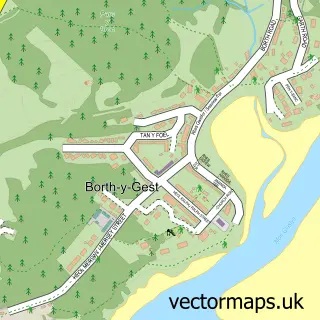
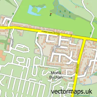
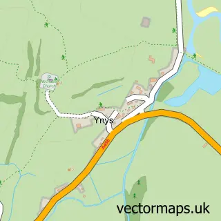
This Porthmadog street map is a detailed vector street map covering a 750m x 750m area. Select a larger area to create and download your own vector street map of Porthmadog.
The 750-metre map sample for Porthmadog covers 263 mapped buildings and approximately 20.5 km of road detail, of which 27 named roads are named. The immediate area includes 1 school, 1 railway station, 1 GP surgery and 4 pubs among other local services. The wider area around Porthmadog features 4 tourism points of interest, 17 food and drink venues and 8 hotels. To create a larger or custom map of Porthmadog, the map builder lets you define your own coverage area and download editable SVG, PDF and PNG files.
Create a larger editable map of Porthmadog
Choose any area you need and generate a high-quality vector map instantly. Perfect for print, planning, design, business and personal use.

This Porthmadog street map in Gwynedd is available as downloadable SVG, PDF and PNG map files, or as a printed map for planning, business, display, education, local information and design work. You can also create a larger custom map area using the map selector.
What this Porthmadog map sample shows
Porthmadog lies within Porthmadog Community parish, part of Porthmadog West ward in the Gwynedd - Gwynedd local authority area. The postcode geography for this area includes the LL postcode area, the LL49 postcode district and the LL49 9 postcode sector. Residents fall under the Betsi Cadwaladr University Health Board for NHS services.
Local features near Porthmadog
Within 2 milesAmenities and services in and around Porthmadog.
Administrative and postcode information for Porthmadog
The local authority covering Porthmadog is Gwynedd - Gwynedd, within the county of Gwynedd. The settlement lies within Porthmadog West ward and Porthmadog Community civil parish. The LL49 postcode district and LL49 9 postcode sector serve the immediate area. NHS provision in the area is delivered through Betsi Cadwaladr University Health Board.
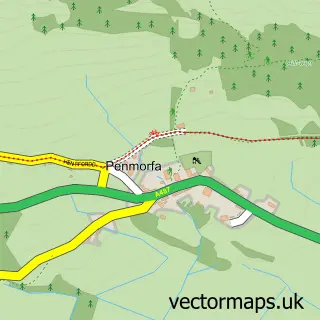
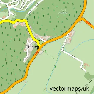
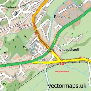
Nearby street map samples around Porthmadog

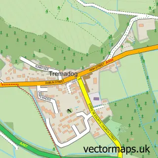
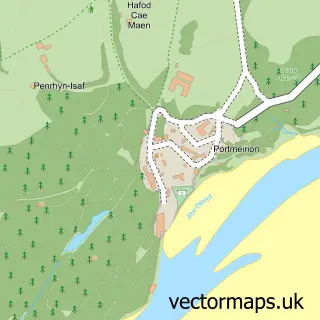
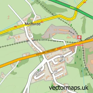
More street maps in Gwynedd
750 metre map area coverage
Boundary, postcode and point of interest information for the 750m x 750m rectangle centred on this sample map.
Boundaries containing map centre
Constituency: Dwyfor Meirionnydd Co Const
District: Gwynedd - Gwynedd
Icb: Betsi Cadwaladr University
Parish: Porthmadog Community
Police Force: north wales
Postcode District: LL49
Postcode Sector: LL49 9
Nearby boundaries intersecting sample
No additional intersecting boundaries found.
Postcode coverage
POI category counts
Hotel: 8
Train Station: 7
Bar: 6
Antique Store: 5
Coffee Shop: 5
Flowers And Gifts Shop: 5
Holiday Rental Home: 5
Barber: 4
Cafe: 4
Discount Store: 4
Sample points of interest
- Porthmadog Harbour
- Eryl Jones
- Therapy4change
- British Red Cross
- Country Home Antiques & Interiors
- Freshfields Animal Rescue
- Huw Williams Antiques Porthmadog
- Porthmadog Antiques
- Pet & Aquatic Centre
- Coast Amusements, Porthmadog
- Rob Piercy Gallery
- Glosters
Create a larger editable map of Porthmadog
This sample shows only a 750 metre area. To create a larger map of Porthmadog, use our map builder to choose your own coverage area, add titles and download editable SVG, PDF and PNG files.
Create a custom map of Porthmadog