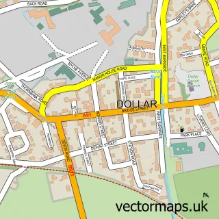
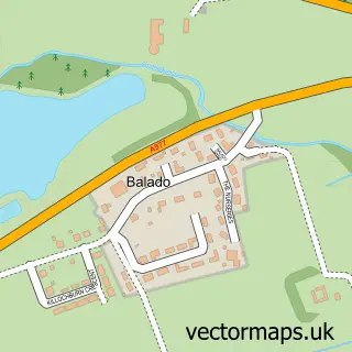
This Crook of Devon street map is a detailed vector street map covering a 750m x 750m area. Select a larger area to create and download your own vector street map of Crook of Devon.
The 750-metre map sample for Crook of Devon covers 218 mapped buildings and approximately 12.2 km of road detail, of which 11 named roads are named. The immediate area includes 1 MOT station. To create a larger or custom map of Crook of Devon, the map builder lets you define your own coverage area and download editable SVG, PDF and PNG files.
Create a larger editable map of Crook of Devon
Choose any area you need and generate a high-quality vector map instantly. Perfect for print, planning, design, business and personal use.

This Crook of Devon street map in Perth and Kinross is available as downloadable SVG, PDF and PNG map files, or as a printed map for planning, business, display, education, local information and design work. You can also create a larger custom map area using the map selector.
What this Crook of Devon map sample shows
Crook of Devon lies within Perth And Kinross parish, part of Kinross-Shire ward in the Perth And Kinross local authority area. The postcode geography for this area includes the KY postcode area, the KY13 postcode district and the KY13 0 postcode sector. Residents fall under the Tayside for NHS services.
Local features near Crook of Devon
Within 2 milesAmenities and services in and around Crook of Devon.
Administrative and postcode information for Crook of Devon
The local authority covering Crook of Devon is Perth And Kinross, within the county of Perth And Kinross. The settlement lies within Kinross-Shire ward and Perth And Kinross civil parish. The KY13 postcode district and KY13 0 postcode sector serve the immediate area. NHS provision in the area is delivered through Tayside.
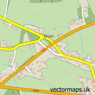
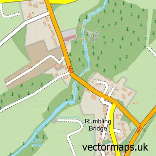
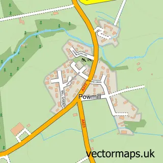
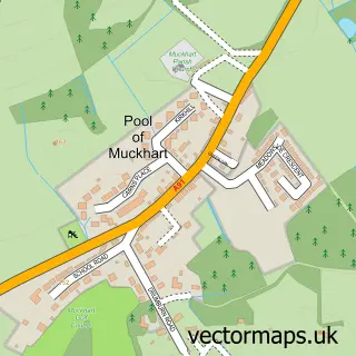
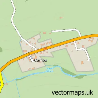
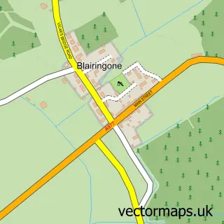
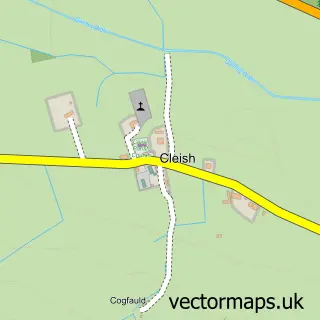
Nearby street map samples around Crook of Devon

More street maps in Perth and Kinross
750 metre map area coverage
Boundary, postcode and point of interest information for the 750m x 750m rectangle centred on this sample map.
Boundaries containing map centre
Constituency: Perth and Kinross-shire Co Const
District: Perth and Kinross
Icb: Tayside
Postcode District: KY13
Postcode Sector: KY13 0
Ward: Kinross-shire Ward
Nearby boundaries intersecting sample
No additional intersecting boundaries found.
Postcode coverage
POI category counts
Post Office: 2
Retail: 2
Building Contractor: 1
Building Supply Store: 1
Business Management Services: 1
Church Cathedral: 1
Fabric Store: 1
Financial Service: 1
Inn: 1
Property Management: 1
Sample points of interest
- Brebner & Williamson
- Garage Door Services (Scotland) Ltd
- Glendevon Energy Company Ltd.
- Fossoway: St. Serf's & Devonside
- County Fabrics
- Springhill Asset Management
- The Inn
- Crook of Devon Post Office
- Post Office
- RBM Projects
- Rowan Tree Therapies
- 1st For Balloons
Create a larger editable map of Crook of Devon
This sample shows only a 750 metre area. To create a larger map of Crook of Devon, use our map builder to choose your own coverage area, add titles and download editable SVG, PDF and PNG files.
Create a custom map of Crook of Devon