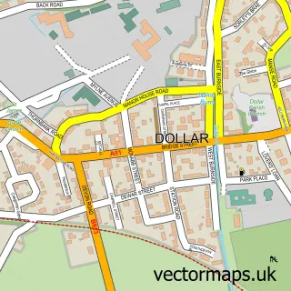
This Pool of Muckhart street map is a detailed vector street map covering a 750m x 750m area. Select a larger area to create and download your own vector street map of Pool of Muckhart.
The 750-metre map sample for Pool of Muckhart covers 154 mapped buildings and approximately 6.5 km of road detail, of which 5 named roads are named. The immediate area includes 1 pub and 1 MOT station within 2 miles. The wider area around Pool of Muckhart features 2 tourism points of interest and 4 food and drink venues. To create a larger or custom map of Pool of Muckhart, the map builder lets you define your own coverage area and download editable SVG, PDF and PNG files.
Create a larger editable map of Pool of Muckhart
Choose any area you need and generate a high-quality vector map instantly. Perfect for print, planning, design, business and personal use.

This Pool of Muckhart street map in Clackmannan is available as downloadable SVG, PDF and PNG map files, or as a printed map for planning, business, display, education, local information and design work. You can also create a larger custom map area using the map selector.
What this Pool of Muckhart map sample shows
Pool of Muckhart lies within Clackmannanshire parish, part of Clackmannanshire East ward in the Clackmannanshire local authority area. The postcode geography for this area includes the FK postcode area, the FK14 postcode district and the FK14 7 postcode sector. Residents fall under the Forth Valley for NHS services.
Local features near Pool of Muckhart
Within 2 milesAmenities and services in and around Pool of Muckhart.
Administrative and postcode information for Pool of Muckhart
The local authority covering Pool of Muckhart is Clackmannanshire, within the county of Clackmannan. The settlement lies within Clackmannanshire East ward and Clackmannanshire civil parish. The FK14 postcode district and FK14 7 postcode sector serve the immediate area. NHS provision in the area is delivered through Forth Valley.
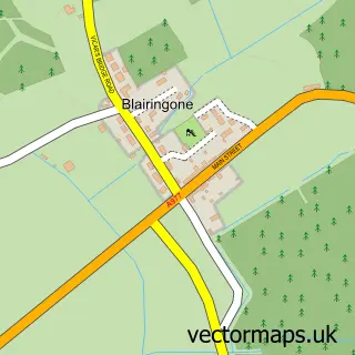
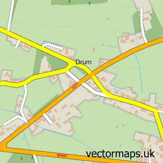
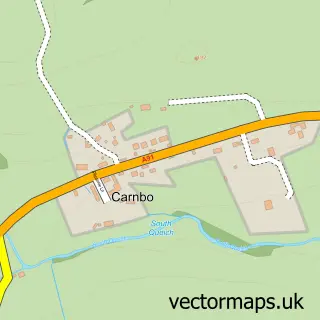
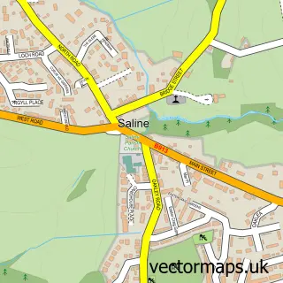
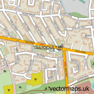
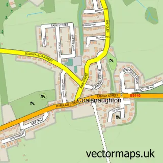
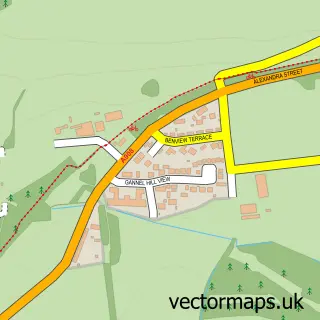
Nearby street map samples around Pool of Muckhart

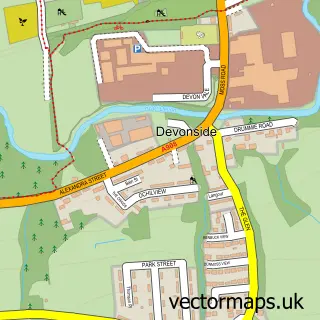
More street maps in Clackmannan
750 metre map area coverage
Boundary, postcode and point of interest information for the 750m x 750m rectangle centred on this sample map.
Boundaries containing map centre
Constituency: Dunfermline and Dollar Co Const
District: Clackmannanshire
Icb: Forth Valley
Postcode District: FK14
Postcode Sector: FK14 7
Ward: Clackmannanshire East Ward
Nearby boundaries intersecting sample
Postcode District: KY13
Postcode Sector: KY13 0
Postcode coverage
POI category counts
Boat Charter: 1
Business Consulting: 1
Cafe: 1
Catholic Church: 1
Coffee Shop: 1
Driving School: 1
Education: 1
Landmark And Historical Building: 1
Museum: 1
Pet Groomer: 1
Sample points of interest
- The Royal Scottish Shipping Line
- European Policy Solutions
- Village Kitchen CIC
- Muckhart
- Mona's Of Muckhart
- Easy Driver
- Muckhart Primary School
- Muckhart
- Coronation Hall Muckart
- Ear to Rear dog Grooming
- The Inn at Muckhart
- Inn at Muckhart
Create a larger editable map of Pool of Muckhart
This sample shows only a 750 metre area. To create a larger map of Pool of Muckhart, use our map builder to choose your own coverage area, add titles and download editable SVG, PDF and PNG files.
Create a custom map of Pool of Muckhart