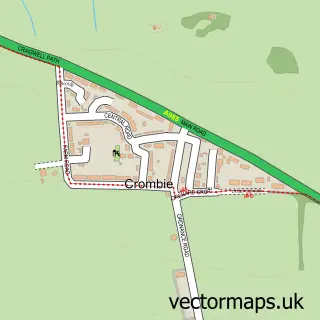
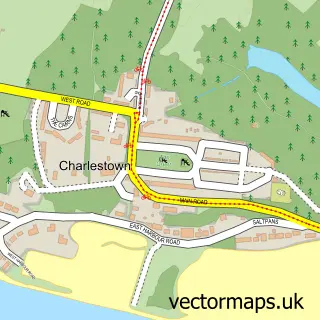
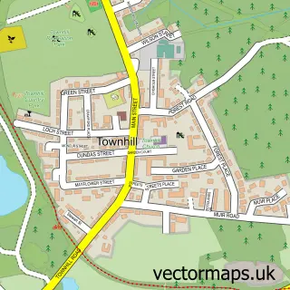
This Crossford street map is a detailed vector street map covering a 750m x 750m area. Select a larger area to create and download your own vector street map of Crossford.
The 750-metre map sample for Crossford covers 371 mapped buildings and approximately 11.9 km of road detail, of which 25 named roads are named. The immediate area includes 5 GP surgeries within 2 miles and 18 MOT stations within 2 miles. The wider area around Crossford features 1 tourism point of interest and 3 hotels. To create a larger or custom map of Crossford, the map builder lets you define your own coverage area and download editable SVG, PDF and PNG files.
Create a larger editable map of Crossford
Choose any area you need and generate a high-quality vector map instantly. Perfect for print, planning, design, business and personal use.

This Crossford street map in Fife is available as downloadable SVG, PDF and PNG map files, or as a printed map for planning, business, display, education, local information and design work. You can also create a larger custom map area using the map selector.
What this Crossford map sample shows
Crossford lies within Fife parish, part of Dunfermline Central ward in the Fife local authority area. The postcode geography for this area includes the KY postcode area, the KY12 postcode district and the KY12 8 postcode sector. Residents fall under the Fife for NHS services.
Local features near Crossford
Within 2 milesAmenities and services in and around Crossford.
Administrative and postcode information for Crossford
Crossford lies within Fife parish, part of Dunfermline Central ward in the Fife local authority area. The postcode geography for this area includes the KY postcode area, the KY12 postcode district and the KY12 8 postcode sector. Residents fall under the Fife for NHS services.
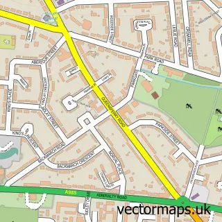
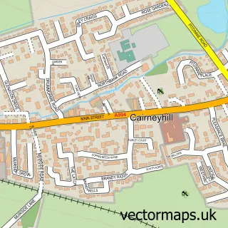
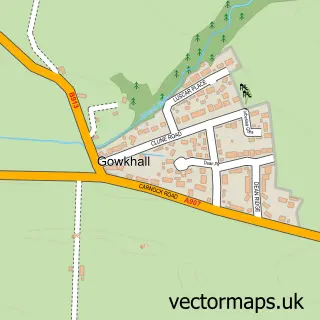
Nearby street map samples around Crossford

More street maps in Fife
750 metre map area coverage
Boundary, postcode and point of interest information for the 750m x 750m rectangle centred on this sample map.
Boundaries containing map centre
Constituency: Dunfermline and Dollar Co Const
District: Fife
Icb: Fife
Postcode District: KY12
Postcode Sector: KY12 8
Ward: Dunfermline Central Ward
Nearby boundaries intersecting sample
No additional intersecting boundaries found.
Postcode coverage
POI category counts
Hotel: 3
Fast Food Restaurant: 2
Post Office: 2
Arts And Entertainment: 1
Automotive: 1
Automotive Dealer: 1
Automotive Repair: 1
Bakery: 1
Barber: 1
Beauty Salon: 1
Sample points of interest
- Crossford Scout Hall
- Gem Caravans Ltd.
- Crossford Motor Co
- Crossford Motor Co
- Stephens Bakery
- Scissors
- Aura Beauty Salon
- School of Colour
- DFM Design
- M&D Motors
- Greens of Crossford
- DRM Driver Training
Create a larger editable map of Crossford
This sample shows only a 750 metre area. To create a larger map of Crossford, use our map builder to choose your own coverage area, add titles and download editable SVG, PDF and PNG files.
Create a custom map of Crossford