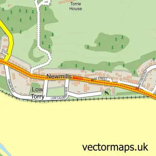
This Carnock street map is a detailed vector street map covering a 750m x 750m area. Select a larger area to create and download your own vector street map of Carnock.
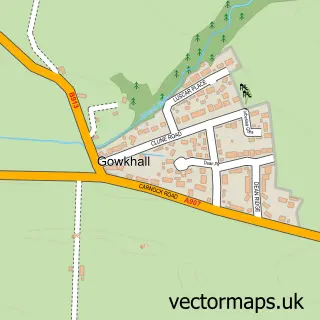
The 750-metre map sample for Carnock covers 307 mapped buildings and approximately 16.5 km of road detail, of which 16 named roads are named. The immediate area includes 1 GP surgery within 2 miles, 1 pub and 4 MOT stations within 2 miles. The wider area around Carnock features 1 tourism point of interest and 1 food and drink venue. To create a larger or custom map of Carnock, the map builder lets you define your own coverage area and download editable SVG, PDF and PNG files.
Create a larger editable map of Carnock
Choose any area you need and generate a high-quality vector map instantly. Perfect for print, planning, design, business and personal use.

This Carnock street map in Fife is available as downloadable SVG, PDF and PNG map files, or as a printed map for planning, business, display, education, local information and design work. You can also create a larger custom map area using the map selector.
What this Carnock map sample shows
Carnock lies within Fife parish, part of West Fife And Coastal Villages ward in the Fife local authority area. The postcode geography for this area includes the KY postcode area, the KY12 postcode district and the KY12 9 postcode sector. Residents fall under the Fife for NHS services.
Local features near Carnock
Within 2 milesAmenities and services in and around Carnock.
Administrative and postcode information for Carnock
Carnock lies within Fife parish, part of West Fife And Coastal Villages ward in the Fife local authority area. The postcode geography for this area includes the KY postcode area, the KY12 postcode district and the KY12 9 postcode sector. Residents fall under the Fife for NHS services.
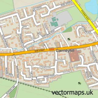
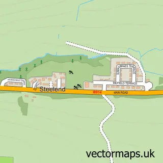
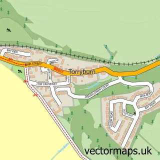
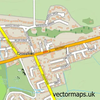
Nearby street map samples around Carnock

More street maps in Fife
750 metre map area coverage
Boundary, postcode and point of interest information for the 750m x 750m rectangle centred on this sample map.
Boundaries containing map centre
Constituency: Dunfermline and Dollar Co Const
District: Fife
Icb: Fife
Postcode District: KY12
Postcode Sector: KY12 9
Ward: West Fife and Coastal Villages Ward
Nearby boundaries intersecting sample
No additional intersecting boundaries found.
Postcode coverage
POI category counts
Advertising Agency: 1
Community Center: 1
Counseling And Mental Health: 1
Eat And Drink: 1
Elementary School: 1
Event Technology Service: 1
Financial Service: 1
Furniture Store: 1
Land Surveying: 1
Marketing Consultant: 1
Sample points of interest
- Houdini Media
- Carnock and Gowkhall Community Centre
- ChargeUp with Steph
- Krooz Cafe
- Carnock Primary School
- Love Touring Expo
- Payzone
- David C Moffat Joinery
- Bell Surveys
- Janet Torley Practical Marketing
- Kingdom Massage
- Carnock Public Park
Create a larger editable map of Carnock
This sample shows only a 750 metre area. To create a larger map of Carnock, use our map builder to choose your own coverage area, add titles and download editable SVG, PDF and PNG files.
Create a custom map of Carnock