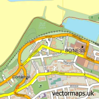
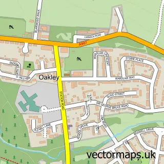
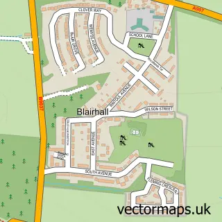
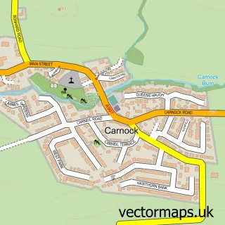
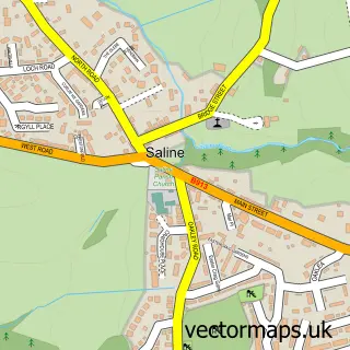
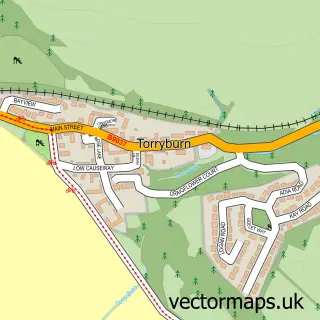
This Comrie street map is a detailed vector street map covering a 750m x 750m area. Select a larger area to create and download your own vector street map of Comrie.
The 750-metre map sample for Comrie covers 334 mapped buildings and approximately 9.0 km of road detail, of which 18 named roads are named. The immediate area includes 2 GP surgeries within 2 miles, 1 pub and 2 MOT stations, with 3 within 2 miles. The wider area around Comrie features 1 food and drink venue. To create a larger or custom map of Comrie, the map builder lets you define your own coverage area and download editable SVG, PDF and PNG files.
Create a larger editable map of Comrie
Choose any area you need and generate a high-quality vector map instantly. Perfect for print, planning, design, business and personal use.

This Comrie street map in Fife is available as downloadable SVG, PDF and PNG map files, or as a printed map for planning, business, display, education, local information and design work. You can also create a larger custom map area using the map selector.
What this Comrie map sample shows
Comrie lies within Fife parish, part of West Fife And Coastal Villages ward in the Fife local authority area. The postcode geography for this area includes the KY postcode area, the KY12 postcode district and the KY12 9 postcode sector. Residents fall under the Fife for NHS services.
Local features near Comrie
Within 2 milesAmenities and services in and around Comrie.
Administrative and postcode information for Comrie
The local authority covering Comrie is Fife, within the county of Fife. The settlement lies within West Fife And Coastal Villages ward and Fife civil parish. The KY12 postcode district and KY12 9 postcode sector serve the immediate area. NHS provision in the area is delivered through Fife.
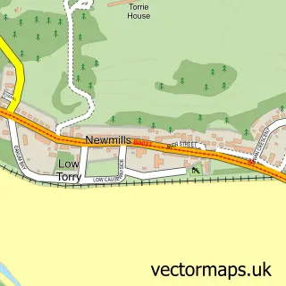
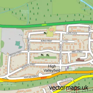
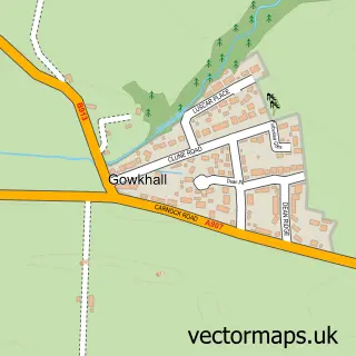
Nearby street map samples around Comrie

More street maps in Fife
750 metre map area coverage
Boundary, postcode and point of interest information for the 750m x 750m rectangle centred on this sample map.
Boundaries containing map centre
Constituency: Dunfermline and Dollar Co Const
District: Fife
Icb: Fife
Postcode District: KY12
Postcode Sector: KY12 9
Ward: West Fife and Coastal Villages Ward
Nearby boundaries intersecting sample
No additional intersecting boundaries found.
Postcode coverage
POI category counts
Bar: 2
Contractor: 2
Automotive Dealer: 1
Building Supply Store: 1
Community Center: 1
Kitchen Remodeling: 1
Occupational Safety: 1
Pub: 1
Road Contractor: 1
Roofing: 1
Sample points of interest
- Saline Motors
- Comrie Tavern
- Whites Gates
- Luxury Windows
- The Comrie Community Centre
- Heat Scotland Ltd
- Morgan Joinery Services
- Switched Interiors
- Workplace Health and Safety Advice Service
- The White Gates
- East Coast Fencing & Landscapes
- Concept Home Improvement Co
Create a larger editable map of Comrie
This sample shows only a 750 metre area. To create a larger map of Comrie, use our map builder to choose your own coverage area, add titles and download editable SVG, PDF and PNG files.
Create a custom map of Comrie