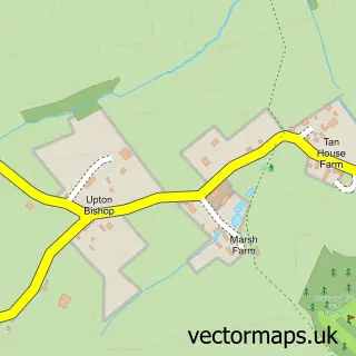
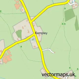
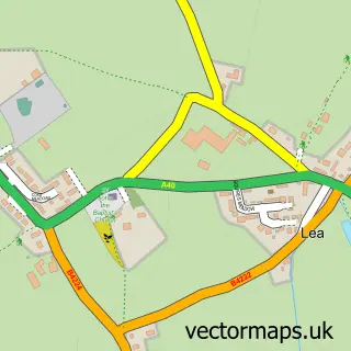
This Crow Hill street map is a detailed vector street map covering a 750m x 750m area. Select a larger area to create and download your own vector street map of Crow Hill.
The 750-metre map sample for Crow Hill covers 110 mapped buildings and approximately 25.7 km of road detail, of which 1 named road are named. The immediate area includes 1 pub. The wider area around Crow Hill features 1 food and drink venue. To create a larger or custom map of Crow Hill, the map builder lets you define your own coverage area and download editable SVG, PDF and PNG files.
Create a larger editable map of Crow Hill
Choose any area you need and generate a high-quality vector map instantly. Perfect for print, planning, design, business and personal use.

This Crow Hill street map in Herefordshire is available as downloadable SVG, PDF and PNG map files, or as a printed map for planning, business, display, education, local information and design work. You can also create a larger custom map area using the map selector.
What this Crow Hill map sample shows
Crow Hill lies within Upton Bishop Cp parish, part of Old Gore ward in the County Of Herefordshire local authority area. The postcode geography for this area includes the HR postcode area, the HR9 postcode district and the HR9 7 postcode sector. Residents fall under the Nhs Herefordshire And Worcestershire Integrated Care Board for NHS services.
Local features near Crow Hill
Within 2 milesAmenities and services in and around Crow Hill.
Administrative and postcode information for Crow Hill
Crow Hill lies within Upton Bishop Cp parish, part of Old Gore ward in the County Of Herefordshire local authority area. The postcode geography for this area includes the HR postcode area, the HR9 postcode district and the HR9 7 postcode sector. Residents fall under the Nhs Herefordshire And Worcestershire Integrated Care Board for NHS services.
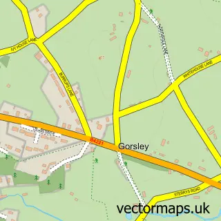
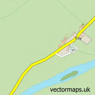
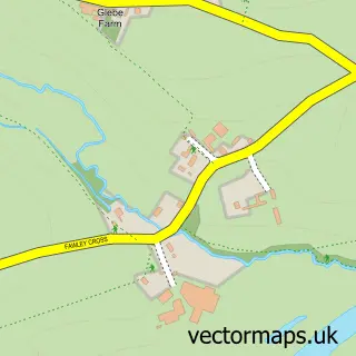
Nearby street map samples around Crow Hill

More street maps in Herefordshire
750 metre map area coverage
Boundary, postcode and point of interest information for the 750m x 750m rectangle centred on this sample map.
Boundaries containing map centre
Constituency: North Herefordshire Co Const
District: County of Herefordshire
Icb: NHS Herefordshire and Worcestershire ICB
Parish: Upton Bishop CP
Police Force: west mercia
Postcode District: HR9
Postcode Sector: HR9 7
Ward: Old Gore Ward
Nearby boundaries intersecting sample
No additional intersecting boundaries found.
Postcode coverage
POI category counts
Advertising Agency: 1
Bakery: 1
Bed And Breakfast: 1
Community Center: 1
Farm: 1
Forestry Service: 1
Furniture Manufacturers: 1
Gastropub: 1
Ice Cream Shop: 1
Jazz And Blues: 1
Sample points of interest
- Calendar Lady Promotions
- Cake Aspirations
- May Hill View
- Upton Bishop Millennium Hall
- Chicory crops farm
- Forestry Operations
- Green Man Stoves
- The Moody Cow
- Stoggle Oak
- Upton Bishop Jazz Club
- Moody Cow
Create a larger editable map of Crow Hill
This sample shows only a 750 metre area. To create a larger map of Crow Hill, use our map builder to choose your own coverage area, add titles and download editable SVG, PDF and PNG files.
Create a custom map of Crow Hill