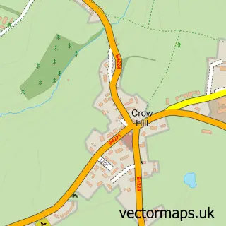
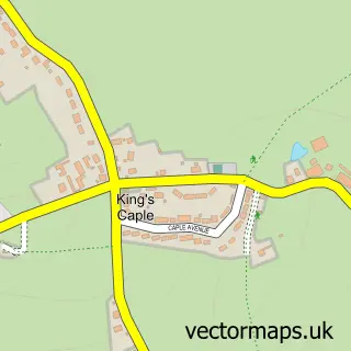
This Ross-on-Wye street map is a detailed vector street map covering a 750m x 750m area. Select a larger area to create and download your own vector street map of Ross-on-Wye.
The 750-metre map sample for Ross-on-Wye covers 298 mapped buildings and approximately 50.5 km of road detail, of which 44 named roads are named. The immediate area includes 1 school, 2 GP surgeries, 17 pubs and 2 MOT stations, with 9 within 2 miles. The wider area around Ross-on-Wye features 7 tourism points of interest, 32 food and drink venues and 8 hotels. To create a larger or custom map of Ross-on-Wye, the map builder lets you define your own coverage area and download editable SVG, PDF and PNG files.
Create a larger editable map of Ross-on-Wye
Choose any area you need and generate a high-quality vector map instantly. Perfect for print, planning, design, business and personal use.

This Ross-on-Wye street map in Herefordshire is available as downloadable SVG, PDF and PNG map files, or as a printed map for planning, business, display, education, local information and design work. You can also create a larger custom map area using the map selector.
What this Ross-on-Wye map sample shows
Ross-on-Wye lies within Ross-On-Wye Cp parish, part of Ross East ward in the County Of Herefordshire local authority area. The postcode geography for this area includes the HR postcode area, the HR9 postcode district and the HR9 7 postcode sector. Residents fall under the Nhs Herefordshire And Worcestershire Integrated Care Board for NHS services.
Local features near Ross-on-Wye
Within 2 milesAmenities and services in and around Ross-on-Wye.
Administrative and postcode information for Ross-on-Wye
The local authority covering Ross-on-Wye is County Of Herefordshire, within the county of Herefordshire. The settlement lies within Ross East ward and Ross-On-Wye Cp civil parish. The HR9 postcode district and HR9 7 postcode sector serve the immediate area. NHS provision in the area is delivered through Wye Valley Nhs Trust.
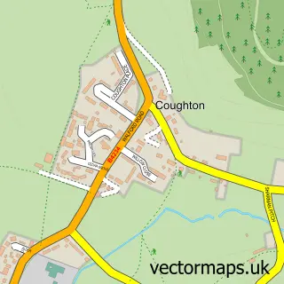
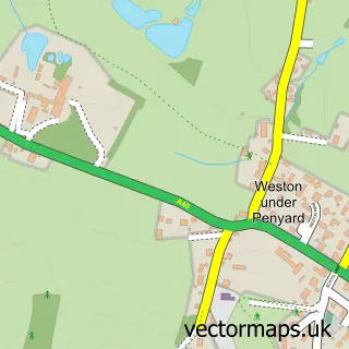
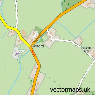
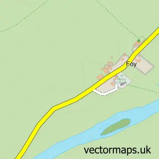
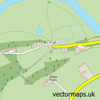
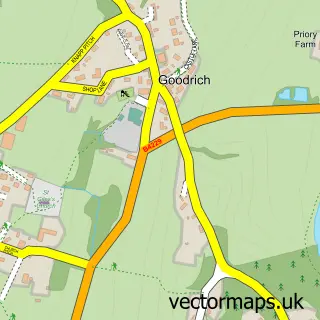
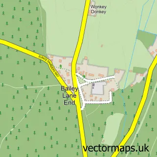
Nearby street map samples around Ross-on-Wye

More street maps in Herefordshire
750 metre map area coverage
Boundary, postcode and point of interest information for the 750m x 750m rectangle centred on this sample map.
Boundaries containing map centre
Constituency: Hereford and South Herefordshire Co Const
District: County of Herefordshire
Icb: NHS Herefordshire and Worcestershire ICB
Parish: Ross-on-Wye CP
Police Force: west mercia
Postcode District: HR9
Postcode Sector: HR9 5
Ward: Ross West Ward
Nearby boundaries intersecting sample
Parish: Bridstow CP
Postcode Sector: HR9 6, HR9 7
Ward: Llangarron Ward, Ross East Ward, Ross North Ward
Postcode coverage
POI category counts
Pub: 17
Real Estate Agent: 15
Beauty Salon: 14
Flowers And Gifts Shop: 12
Charity Organization: 10
Clothing Store: 9
Furniture Store: 9
Hair Salon: 9
Convenience Store: 8
Hotel: 8
Sample points of interest
- Aubrey & Co.
- Kings Accountancy Ltd
- Connexions
- Calendar Lady Promotions
- Calendar Lady Promotions
- Firebird Com
- Masters
- Stealth Holdings
- NJB Hoofcare
- Nicholas Do Handoll & Associates
- Ross Clinic
- Ross Herbal & Natural Health Centre
Create a larger editable map of Ross-on-Wye
This sample shows only a 750 metre area. To create a larger map of Ross-on-Wye, use our map builder to choose your own coverage area, add titles and download editable SVG, PDF and PNG files.
Create a custom map of Ross-on-Wye