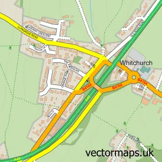
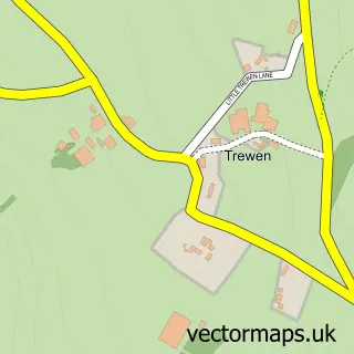
This Goodrich street map is a detailed vector street map covering a 750m x 750m area. Select a larger area to create and download your own vector street map of Goodrich.
The 750-metre map sample for Goodrich covers 110 mapped buildings and approximately 26.8 km of road detail, of which 5 named roads are named. The immediate area includes 1 school, 1 pub and 1 MOT station within 2 miles. The wider area around Goodrich features 1 tourism point of interest, 1 food and drink venue and 1 hotel. To create a larger or custom map of Goodrich, the map builder lets you define your own coverage area and download editable SVG, PDF and PNG files.
Create a larger editable map of Goodrich
Choose any area you need and generate a high-quality vector map instantly. Perfect for print, planning, design, business and personal use.

This Goodrich street map in Herefordshire is available as downloadable SVG, PDF and PNG map files, or as a printed map for planning, business, display, education, local information and design work. You can also create a larger custom map area using the map selector.
What this Goodrich map sample shows
Goodrich lies within Goodrich Cp parish, part of Kerne Bridge ward in the County Of Herefordshire local authority area. The postcode geography for this area includes the HR postcode area, the HR9 postcode district and the HR9 6 postcode sector. Residents fall under the Nhs Herefordshire And Worcestershire Integrated Care Board for NHS services.
Local features near Goodrich
Within 2 milesAmenities and services in and around Goodrich.
Administrative and postcode information for Goodrich
The local authority covering Goodrich is County Of Herefordshire, within the county of Herefordshire. The settlement lies within Kerne Bridge ward and Goodrich Cp civil parish. The HR9 postcode district and HR9 6 postcode sector serve the immediate area. NHS provision in the area is delivered through Wye Valley Nhs Trust.
Nearby street map samples around Goodrich
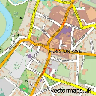

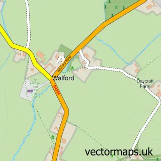
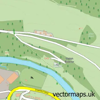
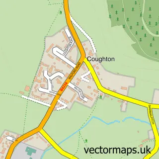
More street maps in Herefordshire
750 metre map area coverage
Boundary, postcode and point of interest information for the 750m x 750m rectangle centred on this sample map.
Boundaries containing map centre
Constituency: Hereford and South Herefordshire Co Const
District: County of Herefordshire
Icb: NHS Herefordshire and Worcestershire ICB
Parish: Goodrich CP
Police Force: west mercia
Postcode District: HR9
Postcode Sector: HR9 6
Ward: Kerne Bridge Ward
Nearby boundaries intersecting sample
No additional intersecting boundaries found.
Postcode coverage
POI category counts
Anglican Church: 1
Arts And Entertainment: 1
Attractions And Activities: 1
Church Cathedral: 1
Educational Services: 1
Elementary School: 1
Gastropub: 1
Holiday Rental Home: 1
Hotel: 1
Pub: 1
Sample points of interest
- St Giles
- Goodrich Commercial Consulting Limited
- Coppet Hill Nature Reserve
- Goodrich Church
- Lean Enterprise Academy
- Goodrich C E Primary School
- Ye Hostelrie
- Jolly’s of Goodrich
- Granton House
- The Hostelrie at Goodrich
- Post Office-Goodrich
- Castle Brook Vineyard
Create a larger editable map of Goodrich
This sample shows only a 750 metre area. To create a larger map of Goodrich, use our map builder to choose your own coverage area, add titles and download editable SVG, PDF and PNG files.
Create a custom map of Goodrich