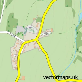
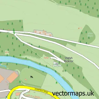
This Symonds Yat West street map is a detailed vector street map covering a 750m x 750m area. Select a larger area to create and download your own vector street map of Symonds Yat West.
The 750-metre map sample for Symonds Yat West covers 175 mapped buildings and approximately 29.2 km of road detail, of which 9 named roads are named. The immediate area includes 2 MOT stations within 2 miles. The wider area around Symonds Yat West features 3 hotels. To create a larger or custom map of Symonds Yat West, the map builder lets you define your own coverage area and download editable SVG, PDF and PNG files.
Create a larger editable map of Symonds Yat West
Choose any area you need and generate a high-quality vector map instantly. Perfect for print, planning, design, business and personal use.

This Symonds Yat West street map in Herefordshire is available as downloadable SVG, PDF and PNG map files, or as a printed map for planning, business, display, education, local information and design work. You can also create a larger custom map area using the map selector.
What this Symonds Yat West map sample shows
Symonds Yat West lies within Whitchurch Cp parish, part of Kerne Bridge ward in the County Of Herefordshire local authority area. The postcode geography for this area includes the HR postcode area, the HR9 postcode district and the HR9 6 postcode sector. Residents fall under the Nhs Herefordshire And Worcestershire Integrated Care Board for NHS services.
Local features near Symonds Yat West
Within 2 milesAmenities and services in and around Symonds Yat West.
Administrative and postcode information for Symonds Yat West
Symonds Yat West lies within Whitchurch Cp parish, part of Kerne Bridge ward in the County Of Herefordshire local authority area. The postcode geography for this area includes the HR postcode area, the HR9 postcode district and the HR9 6 postcode sector. Residents fall under the Nhs Herefordshire And Worcestershire Integrated Care Board for NHS services.
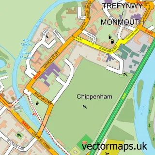
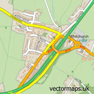
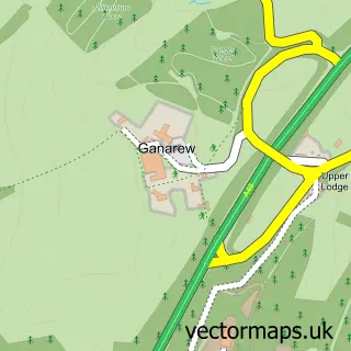
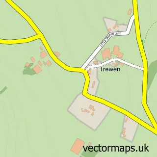
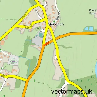
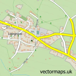
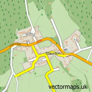
Nearby street map samples around Symonds Yat West

More street maps in Herefordshire
750 metre map area coverage
Boundary, postcode and point of interest information for the 750m x 750m rectangle centred on this sample map.
Boundaries containing map centre
Constituency: Hereford and South Herefordshire Co Const
District: County of Herefordshire
Icb: NHS Herefordshire and Worcestershire ICB
Parish: Whitchurch CP
Police Force: west mercia
Postcode District: HR9
Postcode Sector: HR9 6
Ward: Kerne Bridge Ward
Nearby boundaries intersecting sample
No additional intersecting boundaries found.
Postcode coverage
POI category counts
Hotel: 3
Bed And Breakfast: 2
Canoe And Kayak Hire Service: 2
Holiday Rental Home: 2
Beverage Store: 1
Cabin: 1
Driving School: 1
Engineering Services: 1
Interior Design: 1
Medical Service Organizations: 1
Sample points of interest
- Garth Cottage B&B
- Walnut Tree Cottage
- Wiltshire Farm Foods
- Watsons Cabin
- Canoe the Wye Ltd
- Wye Canoes Ltd
- Cape Cars Driving School
- Hickton Utilities
- Paddocks Cottages
- The Paddocks Hotel
- Paddocks Hotel
- Victoria Cottage Symonds Yat
Create a larger editable map of Symonds Yat West
This sample shows only a 750 metre area. To create a larger map of Symonds Yat West, use our map builder to choose your own coverage area, add titles and download editable SVG, PDF and PNG files.
Create a custom map of Symonds Yat West