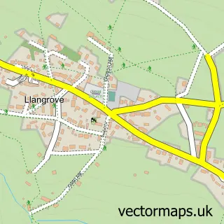
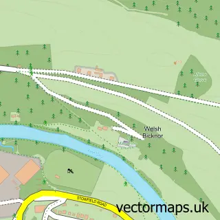
This Whitchurch street map is a detailed vector street map covering a 750m x 750m area. Select a larger area to create and download your own vector street map of Whitchurch.
The 750-metre map sample for Whitchurch covers 194 mapped buildings and approximately 42.4 km of road detail, of which 9 named roads are named. The immediate area includes 1 school and 2 MOT stations within 2 miles. The wider area around Whitchurch features 1 tourism point of interest, 2 food and drink venues and 2 hotels. To create a larger or custom map of Whitchurch, the map builder lets you define your own coverage area and download editable SVG, PDF and PNG files.
Create a larger editable map of Whitchurch
Choose any area you need and generate a high-quality vector map instantly. Perfect for print, planning, design, business and personal use.

This Whitchurch street map in Herefordshire is available as downloadable SVG, PDF and PNG map files, or as a printed map for planning, business, display, education, local information and design work. You can also create a larger custom map area using the map selector.
What this Whitchurch map sample shows
Whitchurch lies within Whitchurch Cp parish, part of Kerne Bridge ward in the County Of Herefordshire local authority area. The postcode geography for this area includes the HR postcode area, the HR9 postcode district and the HR9 6 postcode sector. Residents fall under the Nhs Herefordshire And Worcestershire Integrated Care Board for NHS services.
Local features near Whitchurch
Within 2 milesAmenities and services in and around Whitchurch.
Administrative and postcode information for Whitchurch
The local authority covering Whitchurch is County Of Herefordshire, within the county of Herefordshire. The settlement lies within Kerne Bridge ward and Whitchurch Cp civil parish. The HR9 postcode district and HR9 6 postcode sector serve the immediate area. NHS provision in the area is delivered through Wye Valley Nhs Trust.
Nearby street map samples around Whitchurch
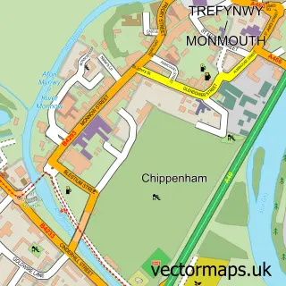

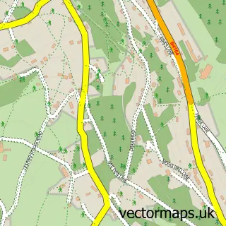
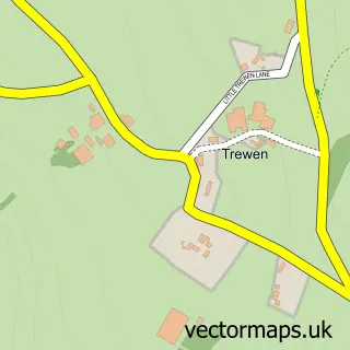
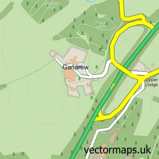
More street maps in Herefordshire
750 metre map area coverage
Boundary, postcode and point of interest information for the 750m x 750m rectangle centred on this sample map.
Boundaries containing map centre
Constituency: Hereford and South Herefordshire Co Const
District: County of Herefordshire
Icb: NHS Herefordshire and Worcestershire ICB
Parish: Whitchurch CP
Police Force: west mercia
Postcode District: HR9
Postcode Sector: HR9 6
Ward: Kerne Bridge Ward
Nearby boundaries intersecting sample
No additional intersecting boundaries found.
Postcode coverage
POI category counts
Bed And Breakfast: 5
Automotive Services And Repair: 2
Hotel: 2
Restaurant: 2
Advertising Agency: 1
Anglican Church: 1
Art Gallery: 1
Auto Loan Provider: 1
Beauty Salon: 1
Bus Service: 1
Sample points of interest
- The Direct Solution
- Wye Reaches Church Family
- Inspired Gallery at Norton House
- The Financial Solution
- InstaVolt Charging Station
- Whitchurch MOT Centre
- The hair Studio
- Norton House
- Norton House B & B And Holiday Cottages
- Norton House BB Tea Rooms and Gallery
- Portland Guest House
- Portland House
Create a larger editable map of Whitchurch
This sample shows only a 750 metre area. To create a larger map of Whitchurch, use our map builder to choose your own coverage area, add titles and download editable SVG, PDF and PNG files.
Create a custom map of Whitchurch