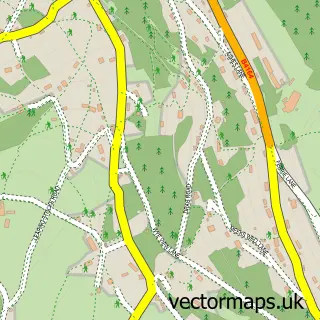
This Staunton street map is a detailed vector street map covering a 750m x 750m area. Select a larger area to create and download your own vector street map of Staunton.
The 750-metre map sample for Staunton covers 135 mapped buildings and approximately 42.2 km of road detail, of which 6 named roads are named. The immediate area includes 1 pub and 3 MOT stations within 2 miles. The wider area around Staunton features 2 tourism points of interest, 1 food and drink venue and 3 campsites within 2 miles. To create a larger or custom map of Staunton, the map builder lets you define your own coverage area and download editable SVG, PDF and PNG files.
Create a larger editable map of Staunton
Choose any area you need and generate a high-quality vector map instantly. Perfect for print, planning, design, business and personal use.

This Staunton street map in Gloucestershire is available as downloadable SVG, PDF and PNG map files, or as a printed map for planning, business, display, education, local information and design work. You can also create a larger custom map area using the map selector.
What this Staunton map sample shows
Staunton lies within Staunton Coleford Cp parish, part of Newland & Sling ward in the Forest Of Dean District local authority area. The postcode geography for this area includes the GL postcode area, the GL16 postcode district and the GL16 8 postcode sector. Residents fall under the Nhs Gloucestershire Integrated Care Board for NHS services.
Local features near Staunton
Within 2 milesAmenities and services in and around Staunton.
Administrative and postcode information for Staunton
The local authority covering Staunton is Forest Of Dean District, within the county of Gloucestershire. The settlement lies within Newland & Sling ward and Staunton Coleford Cp civil parish. The GL16 postcode district and GL16 8 postcode sector serve the immediate area. NHS provision in the area is delivered through Gloucestershire Hospitals Nhs Foundation Trust.
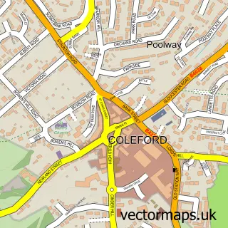
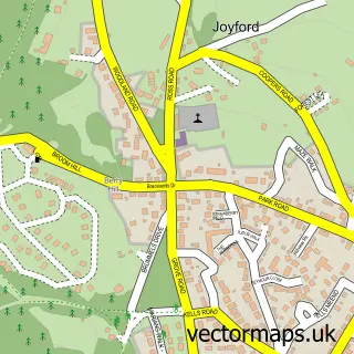
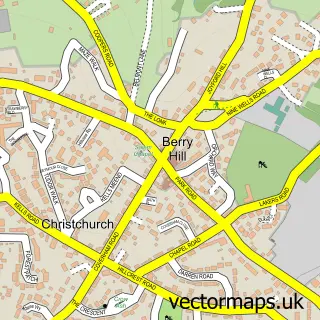
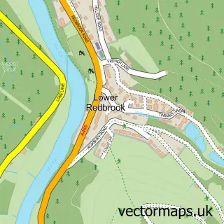
Nearby street map samples around Staunton

More street maps in Gloucestershire
750 metre map area coverage
Boundary, postcode and point of interest information for the 750m x 750m rectangle centred on this sample map.
Boundaries containing map centre
Constituency: Forest of Dean Co Const
County: Gloucestershire County
District: Forest of Dean District
Icb: NHS Gloucestershire ICB
Parish: Staunton Coleford CP
Police Force: gloucestershire
Postcode District: GL16
Postcode Sector: GL16 8
Ward: Newland & Sling Ward
Nearby boundaries intersecting sample
Constituency: Monmouthshire Co Const
District: Sir Fynwy - Monmouthshire
Icb: Aneurin Bevan University
Parish: Monmouth Community
Police Force: gwent
Postcode coverage
POI category counts
Anglican Church: 1
Assisted Living Facility: 1
Campground: 1
Community Center: 1
Electrician: 1
Landmark And Historical Building: 1
Landscape Architect: 1
Naturopathic Holistic: 1
Pub: 1
Retirement Home: 1
Sample points of interest
- All Saints, Staunton
- The Elms
- Broadstone Park
- Staunton Coleford Village Hall
- Momentum Electrical
- Staunton, near Coleford, Gloucestershire
- Red Geranium Garden Design
- Hypnosis Help 4 U
- White Horse Inn
- The Elms Care Home
Create a larger editable map of Staunton
This sample shows only a 750 metre area. To create a larger map of Staunton, use our map builder to choose your own coverage area, add titles and download editable SVG, PDF and PNG files.
Create a custom map of Staunton