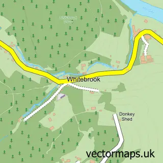
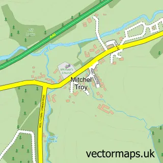
This Redbrook street map is a detailed vector street map covering a 750m x 750m area. Select a larger area to create and download your own vector street map of Redbrook.
The 750-metre map sample for Redbrook covers 97 mapped buildings and approximately 48.7 km of road detail, of which 7 named roads are named. The immediate area includes 1 school and 2 pubs. The wider area around Redbrook features 2 food and drink venues and 2 campsites within 2 miles. To create a larger or custom map of Redbrook, the map builder lets you define your own coverage area and download editable SVG, PDF and PNG files.
Create a larger editable map of Redbrook
Choose any area you need and generate a high-quality vector map instantly. Perfect for print, planning, design, business and personal use.

This Redbrook street map in Gloucestershire is available as downloadable SVG, PDF and PNG map files, or as a printed map for planning, business, display, education, local information and design work. You can also create a larger custom map area using the map selector.
What this Redbrook map sample shows
Redbrook lies within Trellech United Community parish, part of Trellech United ward in the Sir Fynwy - Monmouthshire local authority area. The postcode geography for this area includes the NP postcode area, the NP25 postcode district and the NP25 4 postcode sector. Residents fall under the Aneurin Bevan University Health Board for NHS services.
Local features near Redbrook
Within 2 milesAmenities and services in and around Redbrook.
Administrative and postcode information for Redbrook
Redbrook lies within Trellech United Community parish, part of Trellech United ward in the Sir Fynwy - Monmouthshire local authority area. The postcode geography for this area includes the NP postcode area, the NP25 postcode district and the NP25 4 postcode sector. Residents fall under the Aneurin Bevan University Health Board for NHS services.
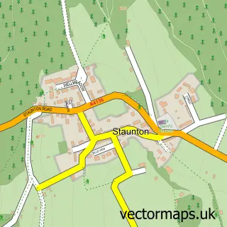
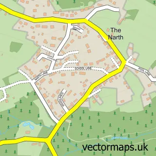
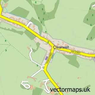
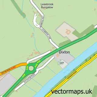
Nearby street map samples around Redbrook

More street maps in Gloucestershire
750 metre map area coverage
Boundary, postcode and point of interest information for the 750m x 750m rectangle centred on this sample map.
Boundaries containing map centre
Constituency: Forest of Dean Co Const
County: Gloucestershire County
District: Forest of Dean District
Icb: NHS Gloucestershire ICB
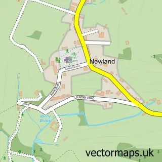
Parish: Newland CP
Police Force: gloucestershire
Postcode District: NP25
Postcode Sector: NP25 4
Ward: Newland & Sling Ward
Nearby boundaries intersecting sample
Constituency: Monmouthshire Co Const
District: Sir Fynwy - Monmouthshire
Icb: Aneurin Bevan University
Parish: Trellech United Community
Police Force: gwent
Postcode coverage
POI category counts
Photography Store And Services: 2
Pub: 2
Anglican Church: 1
Bridge: 1
Church Cathedral: 1
Cottage: 1
Dog Walkers: 1
Driving School: 1
Electrician: 1
Elementary School: 1
Sample points of interest
- St Saviour's, Redbrook
- Penallt Viaduct
- St Saviours Church Redbrook
- Bridge Cottage
- Paws4Outdoors
- Go 4 It School Of Motoring
- Electrical Maintenance Services
- Redbrook Church of England Primary School
- Bigwell Fly Fishery
- Bigwell Fly Fishery
- Redbrook Village Stores
- Sarah Cook Photography
Create a larger editable map of Redbrook
This sample shows only a 750 metre area. To create a larger map of Redbrook, use our map builder to choose your own coverage area, add titles and download editable SVG, PDF and PNG files.
Create a custom map of Redbrook