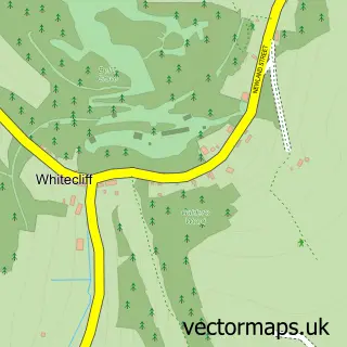
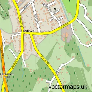
This Coleford street map is a detailed vector street map covering a 750m x 750m area. Select a larger area to create and download your own vector street map of Coleford.
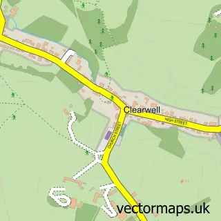
The 750-metre map sample for Coleford covers 557 mapped buildings and approximately 59.0 km of road detail, of which 48 named roads are named. The immediate area includes 1 GP surgery, 4 pubs and 2 MOT stations, with 7 within 2 miles. The wider area around Coleford features 6 tourism points of interest, 12 food and drink venues and 3 hotels. To create a larger or custom map of Coleford, the map builder lets you define your own coverage area and download editable SVG, PDF and PNG files.
Create a larger editable map of Coleford
Choose any area you need and generate a high-quality vector map instantly. Perfect for print, planning, design, business and personal use.

This Coleford street map in Gloucestershire is available as downloadable SVG, PDF and PNG map files, or as a printed map for planning, business, display, education, local information and design work. You can also create a larger custom map area using the map selector.
What this Coleford map sample shows
Coleford lies within Coleford Cp parish, part of Coleford ward in the Forest Of Dean District local authority area. The postcode geography for this area includes the GL postcode area, the GL16 postcode district and the GL16 8 postcode sector. Residents fall under the Nhs Gloucestershire Integrated Care Board for NHS services.
Local features near Coleford
Within 2 milesAmenities and services in and around Coleford.
Administrative and postcode information for Coleford
Coleford lies within Coleford Cp parish, part of Coleford ward in the Forest Of Dean District local authority area. The postcode geography for this area includes the GL postcode area, the GL16 postcode district and the GL16 8 postcode sector. Residents fall under the Nhs Gloucestershire Integrated Care Board for NHS services.
Nearby street map samples around Coleford

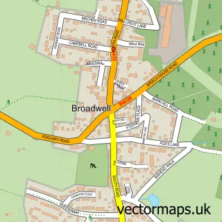
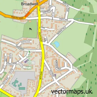
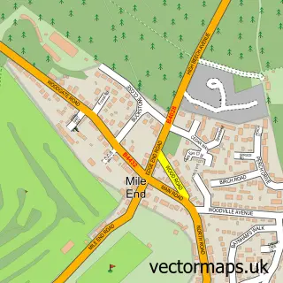
More street maps in Gloucestershire
750 metre map area coverage
Boundary, postcode and point of interest information for the 750m x 750m rectangle centred on this sample map.
Boundaries containing map centre
Constituency: Forest of Dean Co Const
County: Gloucestershire County
District: Forest of Dean District
Icb: NHS Gloucestershire ICB
Parish: Coleford CP
Police Force: gloucestershire
Postcode District: GL16
Postcode Sector: GL16 8
Ward: Coleford Ward
Nearby boundaries intersecting sample
No additional intersecting boundaries found.
Postcode coverage
POI category counts
Flowers And Gifts Shop: 8
Beauty Salon: 7
Real Estate Agent: 6
Cafe: 5
Hair Salon: 5
Professional Services: 5
Automotive Repair: 4
Bakery: 4
Chinese Restaurant: 4
Furniture Store: 4
Sample points of interest
- TKI Bookkeeping & Accounts
- Coleford Area M C T I Partnership
- Coleford Ambulance Station
- Dial a Ride Coleford Shop
- Great Western Railway Museum Coleford
- Marmaris Barbers
- Midcounties Co-Op Coleford
- Santander
- Beale Garage
- Coleford, Forest of Dean
- DJM And Automotive
- Dent Corrections
Create a larger editable map of Coleford
This sample shows only a 750 metre area. To create a larger map of Coleford, use our map builder to choose your own coverage area, add titles and download editable SVG, PDF and PNG files.
Create a custom map of Coleford