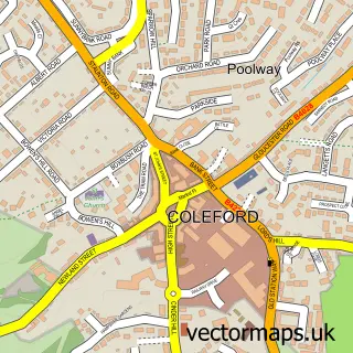
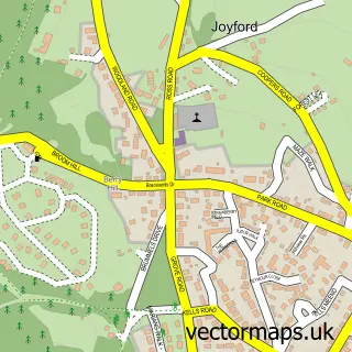
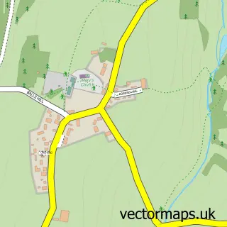
This Mile End street map is a detailed vector street map covering a 750m x 750m area. Select a larger area to create and download your own vector street map of Mile End.
The 750-metre map sample for Mile End covers 302 mapped buildings and approximately 33.9 km of road detail, of which 23 named roads are named. The immediate area includes 1 GP surgery within 2 miles and 1 MOT station, with 7 within 2 miles. The wider area around Mile End features 1 tourism point of interest and 2 campsites within 2 miles. To create a larger or custom map of Mile End, the map builder lets you define your own coverage area and download editable SVG, PDF and PNG files.
Create a larger editable map of Mile End
Choose any area you need and generate a high-quality vector map instantly. Perfect for print, planning, design, business and personal use.

This Mile End street map in Gloucestershire is available as downloadable SVG, PDF and PNG map files, or as a printed map for planning, business, display, education, local information and design work. You can also create a larger custom map area using the map selector.
What this Mile End map sample shows
Mile End lies within Coleford Cp parish, part of Berry Hill ward in the Forest Of Dean District local authority area. The postcode geography for this area includes the GL postcode area, the GL16 postcode district and the GL16 7 postcode sector. Residents fall under the Nhs Gloucestershire Integrated Care Board for NHS services.
Local features near Mile End
Within 2 milesAmenities and services in and around Mile End.
Administrative and postcode information for Mile End
Mile End lies within Coleford Cp parish, part of Berry Hill ward in the Forest Of Dean District local authority area. The postcode geography for this area includes the GL postcode area, the GL16 postcode district and the GL16 7 postcode sector. Residents fall under the Nhs Gloucestershire Integrated Care Board for NHS services.
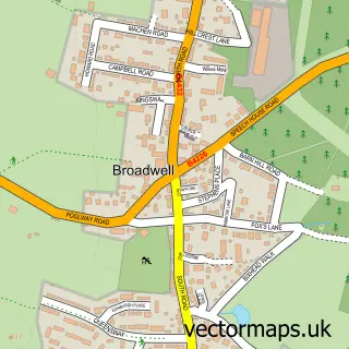
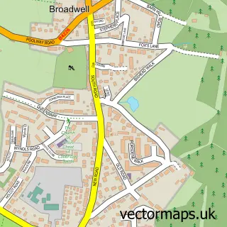
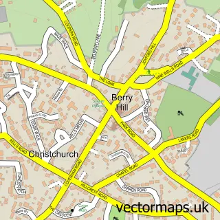
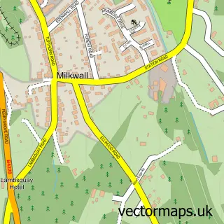
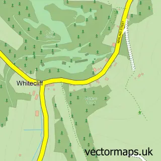
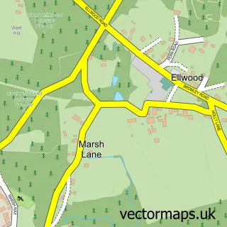
Nearby street map samples around Mile End

More street maps in Gloucestershire
750 metre map area coverage
Boundary, postcode and point of interest information for the 750m x 750m rectangle centred on this sample map.
Boundaries containing map centre
Constituency: Forest of Dean Co Const
County: Gloucestershire County
District: Forest of Dean District
Icb: NHS Gloucestershire ICB
Parish: Coleford CP
Police Force: gloucestershire
Postcode District: GL16
Postcode Sector: GL16 7
Ward: Berry Hill Ward
Nearby boundaries intersecting sample
Parish: West Dean CP
Ward: Coleford Ward
Postcode coverage
POI category counts
Beauty Salon: 2
Driving School: 2
Auto Electrical Repair: 1
Automotive Repair: 1
Bar: 1
Cemeteries: 1
Cottage: 1
Counseling And Mental Health: 1
Golf Course: 1
Gym: 1
Sample points of interest
- Local Electric Ltd.
- Beeches Garage
- Royal Forest Inn
- Enhance Beauty
- Naturally Aesthetics
- Mile End Cemetery
- Dome Garden
- Evergreen Counselling
- Pauline & Malcolm Fleming
- Pauline & Malcolm's Driving School
- Forest Hills Golf Club
- Forest Hills Golf & Leisure Ltd.
Create a larger editable map of Mile End
This sample shows only a 750 metre area. To create a larger map of Mile End, use our map builder to choose your own coverage area, add titles and download editable SVG, PDF and PNG files.
Create a custom map of Mile End