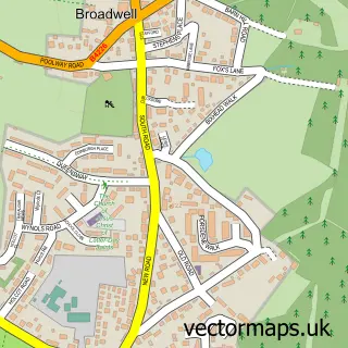
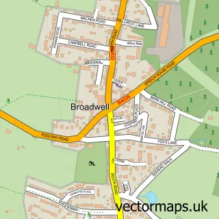
This Ellwood street map is a detailed vector street map covering a 750m x 750m area. Select a larger area to create and download your own vector street map of Ellwood.
The 750-metre map sample for Ellwood covers 101 mapped buildings and approximately 27.5 km of road detail, of which 5 named roads are named. The immediate area includes 1 school, 1 GP surgery within 2 miles and 5 MOT stations within 2 miles. The wider area around Ellwood features 1 tourism point of interest. To create a larger or custom map of Ellwood, the map builder lets you define your own coverage area and download editable SVG, PDF and PNG files.
Create a larger editable map of Ellwood
Choose any area you need and generate a high-quality vector map instantly. Perfect for print, planning, design, business and personal use.

This Ellwood street map in Gloucestershire is available as downloadable SVG, PDF and PNG map files, or as a printed map for planning, business, display, education, local information and design work. You can also create a larger custom map area using the map selector.
What this Ellwood map sample shows
Ellwood lies within West Dean Cp parish, part of Newland & Sling ward in the Forest Of Dean District local authority area. The postcode geography for this area includes the GL postcode area, the GL16 postcode district and the GL16 8 postcode sector. Residents fall under the Nhs Gloucestershire Integrated Care Board for NHS services.
Local features near Ellwood
Within 2 milesAmenities and services in and around Ellwood.
Administrative and postcode information for Ellwood
Ellwood lies within West Dean Cp parish, part of Newland & Sling ward in the Forest Of Dean District local authority area. The postcode geography for this area includes the GL postcode area, the GL16 postcode district and the GL16 8 postcode sector. Residents fall under the Nhs Gloucestershire Integrated Care Board for NHS services.
Nearby street map samples around Ellwood
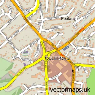

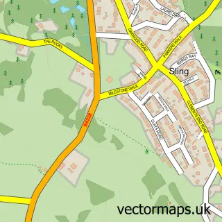
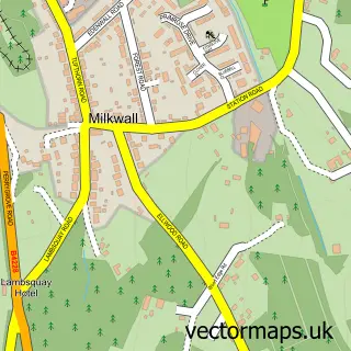
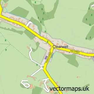
More street maps in Gloucestershire
750 metre map area coverage
Boundary, postcode and point of interest information for the 750m x 750m rectangle centred on this sample map.
Boundaries containing map centre
Constituency: Forest of Dean Co Const
County: Gloucestershire County
District: Forest of Dean District
Icb: NHS Gloucestershire ICB
Parish: West Dean CP
Police Force: gloucestershire
Postcode District: GL16
Postcode Sector: GL16 7
Ward: Newland & Sling Ward
Nearby boundaries intersecting sample
Parish: Coleford CP
Postcode Sector: GL16 8
Ward: Coleford Ward
Postcode coverage
POI category counts
Contractor: 1
Counseling And Mental Health: 1
Elementary School: 1
Holiday Rental Home: 1
Home Service: 1
Landmark And Historical Building: 1
Sports Club And League: 1
Sample points of interest
- IJJ Carpentry
- Justine Adams - Swedish & Pregnancy Massage
- Ellwood Community Primary School
- Pennant Barn
- Ellwood Nursery
- Ellwood, Gloucestershire
- Ellwood Football Club
Create a larger editable map of Ellwood
This sample shows only a 750 metre area. To create a larger map of Ellwood, use our map builder to choose your own coverage area, add titles and download editable SVG, PDF and PNG files.
Create a custom map of Ellwood