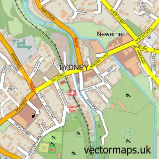
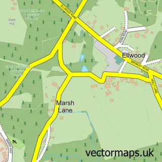
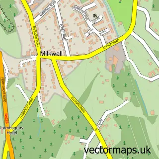
This Bream street map is a detailed vector street map covering a 750m x 750m area. Select a larger area to create and download your own vector street map of Bream.
The 750-metre map sample for Bream covers 587 mapped buildings and approximately 53.4 km of road detail, of which 42 named roads are named. The immediate area includes 1 school, 1 pub and 2 MOT stations within 2 miles. The wider area around Bream features 1 tourism point of interest, 3 food and drink venues and 1 campsite within 2 miles. To create a larger or custom map of Bream, the map builder lets you define your own coverage area and download editable SVG, PDF and PNG files.
Create a larger editable map of Bream
Choose any area you need and generate a high-quality vector map instantly. Perfect for print, planning, design, business and personal use.

This Bream street map in Gloucestershire is available as downloadable SVG, PDF and PNG map files, or as a printed map for planning, business, display, education, local information and design work. You can also create a larger custom map area using the map selector.
What this Bream map sample shows
Bream lies within West Dean Cp parish, part of Bream ward in the Forest Of Dean District local authority area. The postcode geography for this area includes the GL postcode area, the GL15 postcode district and the GL15 6 postcode sector. Residents fall under the Nhs Gloucestershire Integrated Care Board for NHS services.
Local features near Bream
Within 2 milesAmenities and services in and around Bream.
Administrative and postcode information for Bream
The local authority covering Bream is Forest Of Dean District, within the county of Gloucestershire. The settlement lies within Bream ward and West Dean Cp civil parish. The GL15 postcode district and GL15 6 postcode sector serve the immediate area. NHS provision in the area is delivered through Gloucestershire Hospitals Nhs Foundation Trust.
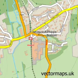
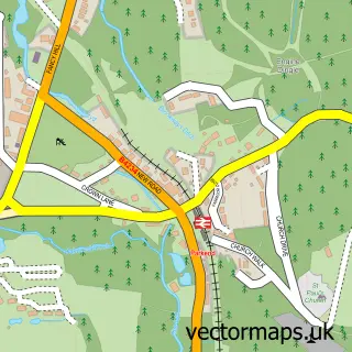
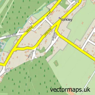
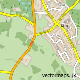
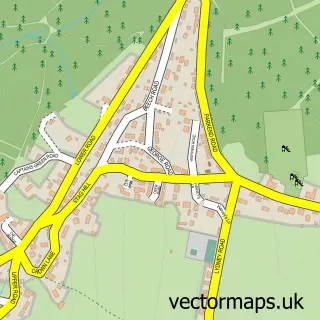
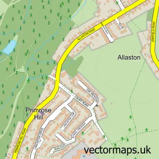
Nearby street map samples around Bream

More street maps in Gloucestershire
750 metre map area coverage
Boundary, postcode and point of interest information for the 750m x 750m rectangle centred on this sample map.
Boundaries containing map centre
Constituency: Forest of Dean Co Const
County: Gloucestershire County
District: Forest of Dean District
Icb: NHS Gloucestershire ICB
Parish: West Dean CP
Police Force: gloucestershire
Postcode District: GL15
Postcode Sector: GL15 6
Ward: Bream Ward
Nearby boundaries intersecting sample
No additional intersecting boundaries found.
Postcode coverage
POI category counts
Building Supply Store: 2
Convenience Store: 2
Flowers And Gifts Shop: 2
Gym: 2
Pharmacy: 2
Post Office: 2
Sports Club And League: 2
Advertising Agency: 1
Automotive Repair: 1
Barber: 1
Sample points of interest
- James English Design
- Frank Luther
- Tracy's Barber Shop
- Allure Beauty
- Finishing Touches
- MCL Pest Control
- Venables Pest Control
- The Coffee Shop
- Forest of Dean Health Forum
- SPAR
- SPAR
- Bream Cricket Club
Create a larger editable map of Bream
This sample shows only a 750 metre area. To create a larger map of Bream, use our map builder to choose your own coverage area, add titles and download editable SVG, PDF and PNG files.
Create a custom map of Bream