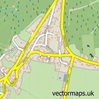
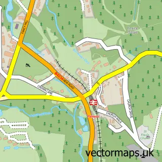
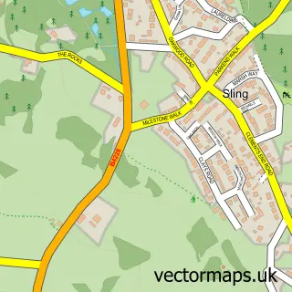
This Whitecroft street map is a detailed vector street map covering a 750m x 750m area. Select a larger area to create and download your own vector street map of Whitecroft.
The 750-metre map sample for Whitecroft covers 289 mapped buildings and approximately 36.8 km of road detail, of which 14 named roads are named. The immediate area includes 1 railway station, 2 GP surgeries within 2 miles, 1 pub and 1 MOT station, with 2 within 2 miles. The wider area around Whitecroft features 2 tourism points of interest, 2 food and drink venues and 1 campsite within 2 miles. To create a larger or custom map of Whitecroft, the map builder lets you define your own coverage area and download editable SVG, PDF and PNG files.
Create a larger editable map of Whitecroft
Choose any area you need and generate a high-quality vector map instantly. Perfect for print, planning, design, business and personal use.

This Whitecroft street map in Gloucestershire is available as downloadable SVG, PDF and PNG map files, or as a printed map for planning, business, display, education, local information and design work. You can also create a larger custom map area using the map selector.
What this Whitecroft map sample shows
Whitecroft lies within West Dean Cp parish, part of Bream ward in the Forest Of Dean District local authority area. The postcode geography for this area includes the GL postcode area, the GL15 postcode district and the GL15 4 postcode sector. Residents fall under the Nhs Gloucestershire Integrated Care Board for NHS services.
Local features near Whitecroft
Within 2 milesAmenities and services in and around Whitecroft.
Administrative and postcode information for Whitecroft
Whitecroft lies within West Dean Cp parish, part of Bream ward in the Forest Of Dean District local authority area. The postcode geography for this area includes the GL postcode area, the GL15 postcode district and the GL15 4 postcode sector. Residents fall under the Nhs Gloucestershire Integrated Care Board for NHS services.
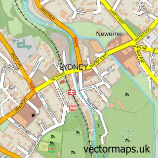
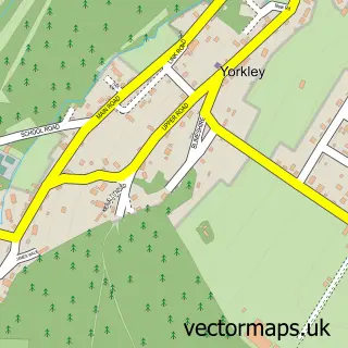
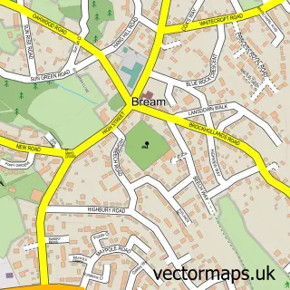
Nearby street map samples around Whitecroft

More street maps in Gloucestershire
750 metre map area coverage
Boundary, postcode and point of interest information for the 750m x 750m rectangle centred on this sample map.
Boundaries containing map centre
Constituency: Forest of Dean Co Const
County: Gloucestershire County
District: Forest of Dean District
Icb: NHS Gloucestershire ICB
Parish: West Dean CP
Police Force: gloucestershire
Postcode District: GL15
Postcode Sector: GL15 4
Ward: Bream Ward
Nearby boundaries intersecting sample
Ward: Pillowell Ward
Postcode coverage
POI category counts
Accountant: 1
Antique Store: 1
Building Supply Store: 1
Burger Restaurant: 1
Business To Business Services: 1
Campground: 1
Carpenter: 1
Chinese Restaurant: 1
Education: 1
Engineering Services: 1
Sample points of interest
- Small Business Accounting Ltd.
- Knick Knacks Whitecroft
- Zeus Handling UK Ltd
- ONLY FOOD and Sauces Burger Van Whitecroft
- INFINITY WORLD CHANGER LIMITED
- Under The Oaks Glamping
- Trefurn
- Whitecroft Chinese Takeaway
- Prime Training Group
- South West Tail Lift Services Ltd.
- Peachy Impressions
- Stock Rentals Ltd.
Create a larger editable map of Whitecroft
This sample shows only a 750 metre area. To create a larger map of Whitecroft, use our map builder to choose your own coverage area, add titles and download editable SVG, PDF and PNG files.
Create a custom map of Whitecroft