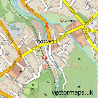
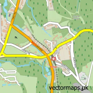
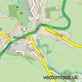
This Pillowell street map is a detailed vector street map covering a 750m x 750m area. Select a larger area to create and download your own vector street map of Pillowell.
The 750-metre map sample for Pillowell covers 202 mapped buildings and approximately 23.4 km of road detail, of which 12 named roads are named. The immediate area includes 1 school, 2 GP surgeries within 2 miles and 3 MOT stations within 2 miles. The wider area around Pillowell features 2 tourism points of interest and 2 campsites within 2 miles. To create a larger or custom map of Pillowell, the map builder lets you define your own coverage area and download editable SVG, PDF and PNG files.
Create a larger editable map of Pillowell
Choose any area you need and generate a high-quality vector map instantly. Perfect for print, planning, design, business and personal use.

This Pillowell street map in Gloucestershire is available as downloadable SVG, PDF and PNG map files, or as a printed map for planning, business, display, education, local information and design work. You can also create a larger custom map area using the map selector.
What this Pillowell map sample shows
Pillowell lies within West Dean Cp parish, part of Pillowell ward in the Forest Of Dean District local authority area. The postcode geography for this area includes the GL postcode area, the GL15 postcode district and the GL15 4 postcode sector. Residents fall under the Nhs Gloucestershire Integrated Care Board for NHS services.
Local features near Pillowell
Within 2 milesAmenities and services in and around Pillowell.
Administrative and postcode information for Pillowell
The local authority covering Pillowell is Forest Of Dean District, within the county of Gloucestershire. The settlement lies within Pillowell ward and West Dean Cp civil parish. The GL15 postcode district and GL15 4 postcode sector serve the immediate area. NHS provision in the area is delivered through Gloucestershire Hospitals Nhs Foundation Trust.
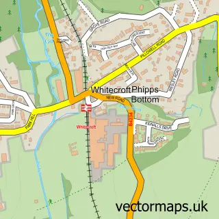
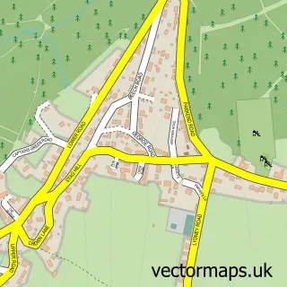
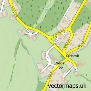
Nearby street map samples around Pillowell

More street maps in Gloucestershire
750 metre map area coverage
Boundary, postcode and point of interest information for the 750m x 750m rectangle centred on this sample map.
Boundaries containing map centre
Constituency: Forest of Dean Co Const
County: Gloucestershire County
District: Forest of Dean District
Icb: NHS Gloucestershire ICB
Parish: West Dean CP
Police Force: gloucestershire
Postcode District: GL15
Postcode Sector: GL15 4
Ward: Pillowell Ward
Nearby boundaries intersecting sample
No additional intersecting boundaries found.
Postcode coverage
POI category counts
Campground: 2
Charity Organization: 1
Church Cathedral: 1
Elementary School: 1
Martial Arts Club: 1
Personal Care Service: 1
Sample points of interest
- Deanwood Holidays Caravan & Camp Site
- Deanwood Holidays, Forest of Dean
- Rapid UK
- Pillowell Methodist Church
- Pillowell Community Primary School
- Forest School Of Martial Arts
- Dean Dogs Grooming Parlour
Create a larger editable map of Pillowell
This sample shows only a 750 metre area. To create a larger map of Pillowell, use our map builder to choose your own coverage area, add titles and download editable SVG, PDF and PNG files.
Create a custom map of Pillowell