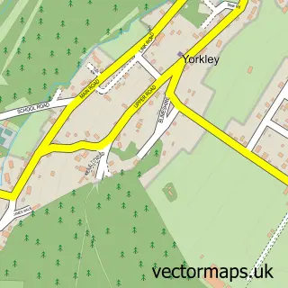
This Blakeney street map is a detailed vector street map covering a 750m x 750m area. Select a larger area to create and download your own vector street map of Blakeney.
The 750-metre map sample for Blakeney covers 214 mapped buildings and approximately 28.6 km of road detail, of which 13 named roads are named. The immediate area includes 1 school and 1 GP surgery. The wider area around Blakeney features 1 food and drink venue and 1 campsite within 2 miles. To create a larger or custom map of Blakeney, the map builder lets you define your own coverage area and download editable SVG, PDF and PNG files.
Create a larger editable map of Blakeney
Choose any area you need and generate a high-quality vector map instantly. Perfect for print, planning, design, business and personal use.

This Blakeney street map in Gloucestershire is available as downloadable SVG, PDF and PNG map files, or as a printed map for planning, business, display, education, local information and design work. You can also create a larger custom map area using the map selector.
What this Blakeney map sample shows
Blakeney lies within Awre Cp parish, part of Newnham ward in the Forest Of Dean District local authority area. The postcode geography for this area includes the GL postcode area, the GL15 postcode district and the GL15 4 postcode sector. Residents fall under the Nhs Gloucestershire Integrated Care Board for NHS services.
Local features near Blakeney
Within 2 milesAmenities and services in and around Blakeney.
Administrative and postcode information for Blakeney
Blakeney lies within Awre Cp parish, part of Newnham ward in the Forest Of Dean District local authority area. The postcode geography for this area includes the GL postcode area, the GL15 postcode district and the GL15 4 postcode sector. Residents fall under the Nhs Gloucestershire Integrated Care Board for NHS services.
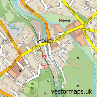
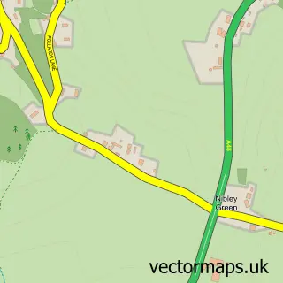
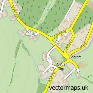
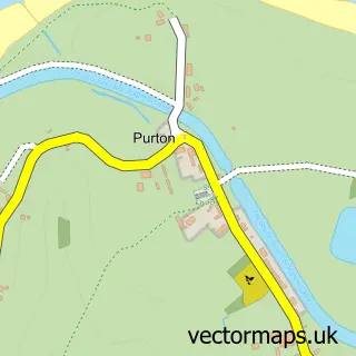
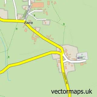
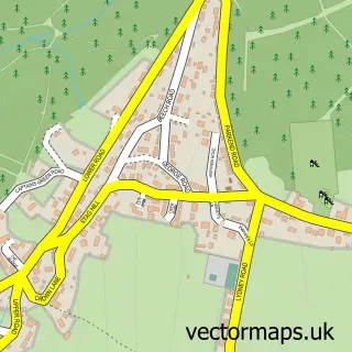
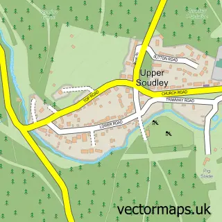
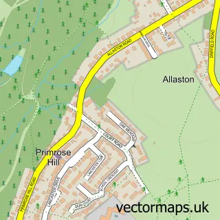
Nearby street map samples around Blakeney

More street maps in Gloucestershire
750 metre map area coverage
Boundary, postcode and point of interest information for the 750m x 750m rectangle centred on this sample map.
Boundaries containing map centre
Constituency: Forest of Dean Co Const
County: Gloucestershire County
District: Forest of Dean District
Icb: NHS Gloucestershire ICB
Parish: Awre CP
Police Force: gloucestershire
Postcode District: GL15
Postcode Sector: GL15 4
Ward: Newnham Ward
Nearby boundaries intersecting sample
No additional intersecting boundaries found.
Postcode coverage
POI category counts
Convenience Store: 2
Medical Center: 2
Professional Services: 2
Retirement Home: 2
Shipping Center: 2
Alternative Medicine: 1
Amateur Sports Team: 1
Anglican Church: 1
Arts And Entertainment: 1
Assisted Living Facility: 1
Sample points of interest
- Herbal Ways
- Blakeney Football Club
- All Saints' Church
- Blakeney
- The Old Vicarage Blakeney
- Oakey & Son Ltd. Electrical Services
- Cosyhome
- The Royal British Legion
- Blakeney News
- One Stop
- Dean Medical Practice
- Blakeney Primary School
Create a larger editable map of Blakeney
This sample shows only a 750 metre area. To create a larger map of Blakeney, use our map builder to choose your own coverage area, add titles and download editable SVG, PDF and PNG files.
Create a custom map of Blakeney