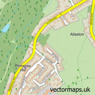
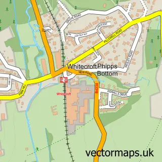
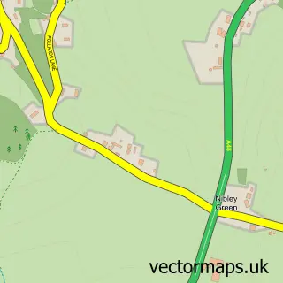
This Lydney street map is a detailed vector street map covering a 750m x 750m area. Select a larger area to create and download your own vector street map of Lydney.
The 750-metre map sample for Lydney covers 364 mapped buildings and approximately 45.1 km of road detail, of which 36 named roads are named. The immediate area includes 1 school, 1 railway station, 1 GP surgery, with 2 within 2 miles and 2 pubs among other local services. The wider area around Lydney features 2 tourism points of interest, 14 food and drink venues and 1 hotel. To create a larger or custom map of Lydney, the map builder lets you define your own coverage area and download editable SVG, PDF and PNG files.
Create a larger editable map of Lydney
Choose any area you need and generate a high-quality vector map instantly. Perfect for print, planning, design, business and personal use.

This Lydney street map in Gloucestershire is available as downloadable SVG, PDF and PNG map files, or as a printed map for planning, business, display, education, local information and design work. You can also create a larger custom map area using the map selector.
What this Lydney map sample shows
Lydney lies within Lydney Cp parish, part of Lydney East ward in the Forest Of Dean District local authority area. The postcode geography for this area includes the GL postcode area, the GL15 postcode district and the GL15 5 postcode sector. Residents fall under the Nhs Gloucestershire Integrated Care Board for NHS services.
Local features near Lydney
Within 2 milesAmenities and services in and around Lydney.
Administrative and postcode information for Lydney
Lydney lies within Lydney Cp parish, part of Lydney East ward in the Forest Of Dean District local authority area. The postcode geography for this area includes the GL postcode area, the GL15 postcode district and the GL15 5 postcode sector. Residents fall under the Nhs Gloucestershire Integrated Care Board for NHS services.
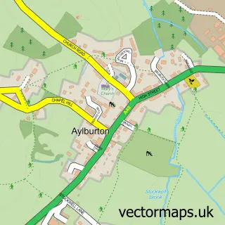
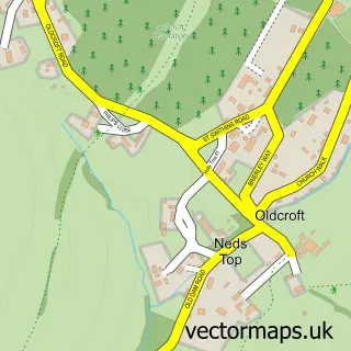
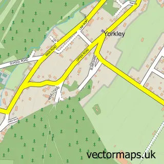
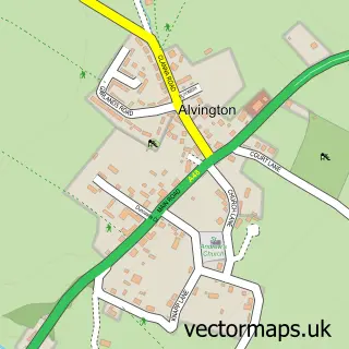
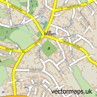
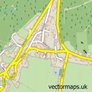
Nearby street map samples around Lydney

More street maps in Gloucestershire
750 metre map area coverage
Boundary, postcode and point of interest information for the 750m x 750m rectangle centred on this sample map.
Boundaries containing map centre
Constituency: Forest of Dean Co Const
County: Gloucestershire County
District: Forest of Dean District
Icb: NHS Gloucestershire ICB
Parish: Lydney CP
Police Force: gloucestershire
Postcode District: GL15
Postcode Sector: GL15 5
Ward: Lydney East Ward
Nearby boundaries intersecting sample
Ward: Lydney North Ward, Lydney West & Aylburton Ward
Postcode coverage
POI category counts
Beauty Salon: 8
Dentist: 8
Coffee Shop: 6
Hair Salon: 6
Professional Services: 6
Beauty And Spa: 5
Cafe: 5
Real Estate Agent: 5
Sports Club And League: 5
Bar: 4
Sample points of interest
- Box & Co
- Makinson & Co.
- Wildin and Co
- Lydney Skatepark
- Arty Type
- Lydney Ambulance Station - SWAST
- FDH
- Nanny B's
- Cashpoint® 55 Newerne Street
- Payzone
- The Dents Business
- Vitality Mortgages Limited
Create a larger editable map of Lydney
This sample shows only a 750 metre area. To create a larger map of Lydney, use our map builder to choose your own coverage area, add titles and download editable SVG, PDF and PNG files.
Create a custom map of Lydney