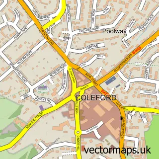
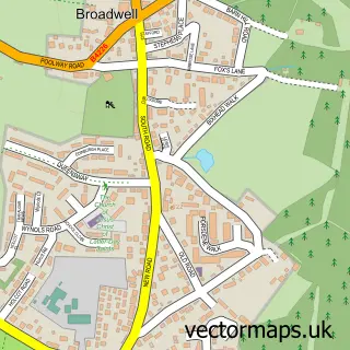
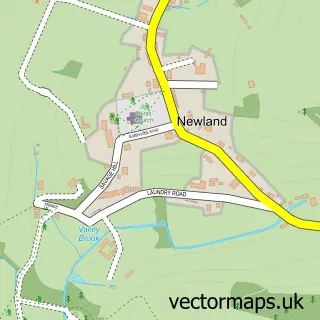
This Milkwall street map is a detailed vector street map covering a 750m x 750m area. Select a larger area to create and download your own vector street map of Milkwall.
The 750-metre map sample for Milkwall covers 283 mapped buildings and approximately 34.8 km of road detail, of which 15 named roads are named. The immediate area includes 1 GP surgery within 2 miles and 7 MOT stations within 2 miles. The wider area around Milkwall features 2 tourism points of interest and 1 campsite within 2 miles. To create a larger or custom map of Milkwall, the map builder lets you define your own coverage area and download editable SVG, PDF and PNG files.
Create a larger editable map of Milkwall
Choose any area you need and generate a high-quality vector map instantly. Perfect for print, planning, design, business and personal use.

This Milkwall street map in Gloucestershire is available as downloadable SVG, PDF and PNG map files, or as a printed map for planning, business, display, education, local information and design work. You can also create a larger custom map area using the map selector.
What this Milkwall map sample shows
Milkwall lies within Coleford Cp parish, part of Coleford ward in the Forest Of Dean District local authority area. The postcode geography for this area includes the GL postcode area, the GL16 postcode district and the GL16 7 postcode sector. Residents fall under the Nhs Gloucestershire Integrated Care Board for NHS services.
Local features near Milkwall
Within 2 milesAmenities and services in and around Milkwall.
Administrative and postcode information for Milkwall
Milkwall lies within Coleford Cp parish, part of Coleford ward in the Forest Of Dean District local authority area. The postcode geography for this area includes the GL postcode area, the GL16 postcode district and the GL16 7 postcode sector. Residents fall under the Nhs Gloucestershire Integrated Care Board for NHS services.
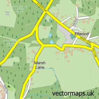
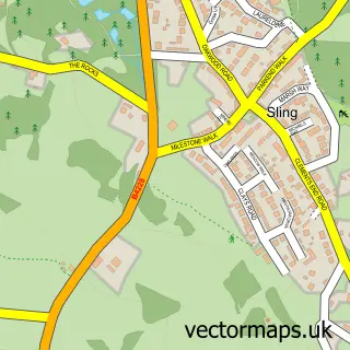
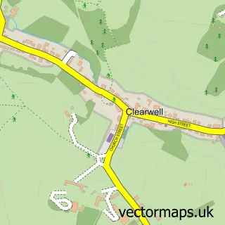
Nearby street map samples around Milkwall

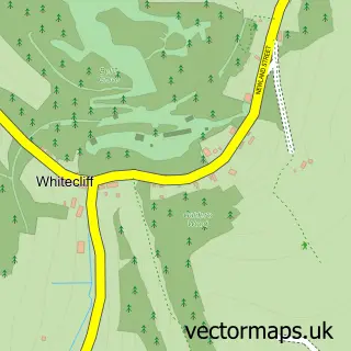
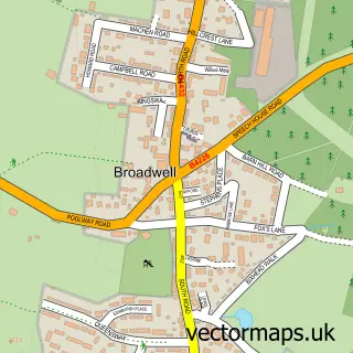
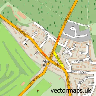
More street maps in Gloucestershire
750 metre map area coverage
Boundary, postcode and point of interest information for the 750m x 750m rectangle centred on this sample map.
Boundaries containing map centre
Constituency: Forest of Dean Co Const
County: Gloucestershire County
District: Forest of Dean District
Icb: NHS Gloucestershire ICB
Parish: Coleford CP
Police Force: gloucestershire
Postcode District: GL16
Postcode Sector: GL16 7
Ward: Coleford Ward
Nearby boundaries intersecting sample
Parish: Newland CP, West Dean CP
Postcode Sector: GL16 8
Ward: Newland & Sling Ward
Postcode coverage
POI category counts
Laundromat: 4
Building Supply Store: 2
Alternative Medicine: 1
Art Gallery: 1
Beauty Salon: 1
Bed And Breakfast: 1
Business Manufacturing And Supply: 1
Financial Service: 1
Hobby Shop: 1
Home Cleaning: 1
Sample points of interest
- Moving Experience
- Artizan Editions
- C P Hairdressing
- Lambsquay House
- Calico Interiors
- M P Electrical Contractors UK
- Pro-Door
- Anglo Finance
- Forest Classics
- Ovenpig Domestic Oven Cleaning
- Tufthorn Inn
- Calico Interiors
Create a larger editable map of Milkwall
This sample shows only a 750 metre area. To create a larger map of Milkwall, use our map builder to choose your own coverage area, add titles and download editable SVG, PDF and PNG files.
Create a custom map of Milkwall