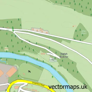
This Lower Lydbrook street map is a detailed vector street map covering a 750m x 750m area. Select a larger area to create and download your own vector street map of Lower Lydbrook.
The 750-metre map sample for Lower Lydbrook covers 105 mapped buildings and approximately 30.1 km of road detail, of which 4 named roads are named. The immediate area includes 1 pub and 2 MOT stations within 2 miles. The wider area around Lower Lydbrook features 1 tourism point of interest, 2 food and drink venues and 2 hotels. To create a larger or custom map of Lower Lydbrook, the map builder lets you define your own coverage area and download editable SVG, PDF and PNG files.
Create a larger editable map of Lower Lydbrook
Choose any area you need and generate a high-quality vector map instantly. Perfect for print, planning, design, business and personal use.

This Lower Lydbrook street map in Gloucestershire is available as downloadable SVG, PDF and PNG map files, or as a printed map for planning, business, display, education, local information and design work. You can also create a larger custom map area using the map selector.
What this Lower Lydbrook map sample shows
Lower Lydbrook lies within Lydbrook Cp parish, part of Lydbrook ward in the Forest Of Dean District local authority area. The postcode geography for this area includes the GL postcode area, the GL17 postcode district and the GL17 9 postcode sector. Residents fall under the Nhs Gloucestershire Integrated Care Board for NHS services.
Local features near Lower Lydbrook
Within 2 milesAmenities and services in and around Lower Lydbrook.
Administrative and postcode information for Lower Lydbrook
The local authority covering Lower Lydbrook is Forest Of Dean District, within the county of Gloucestershire. The settlement lies within Lydbrook ward and Lydbrook Cp civil parish. The GL17 postcode district and GL17 9 postcode sector serve the immediate area. NHS provision in the area is delivered through Gloucestershire Hospitals Nhs Foundation Trust.
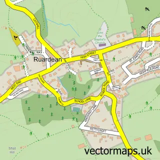
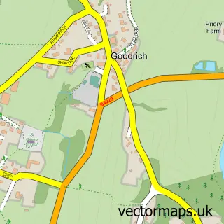
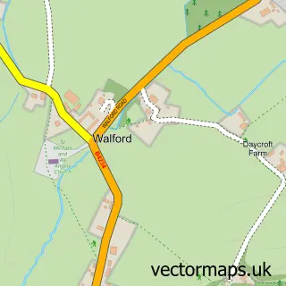
Nearby street map samples around Lower Lydbrook
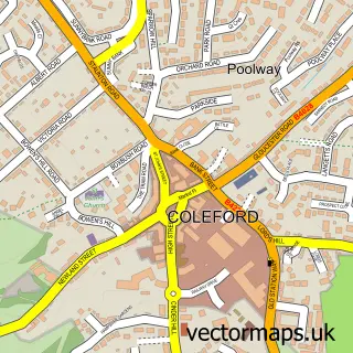

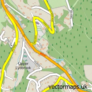
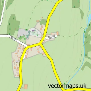
More street maps in Gloucestershire
750 metre map area coverage
Boundary, postcode and point of interest information for the 750m x 750m rectangle centred on this sample map.
Boundaries containing map centre
Constituency: Forest of Dean Co Const
County: Gloucestershire County
District: Forest of Dean District
Icb: NHS Gloucestershire ICB
Parish: Lydbrook CP
Police Force: gloucestershire
Postcode District: GL17
Postcode Sector: GL17 9
Ward: Lydbrook Ward
Nearby boundaries intersecting sample
Parish: English Bicknor CP
Postcode District: GL16
Postcode Sector: GL16 7
Ward: Berry Hill Ward
Postcode coverage
POI category counts
Business Manufacturing And Supply: 2
Hotel: 2
Bed And Breakfast: 1
Cafe: 1
Industrial Equipment: 1
Landmark And Historical Building: 1
Lodge: 1
Pub: 1
Real Estate Agent: 1
Sample points of interest
- Belvedere House Bed and Breakfast
- Lydwood
- TheraPly
- Cafe Vanille of Lydbrook
- Courtfield Arms
- The Courtfield Arms
- F V Duggan & Son
- Lower Lydbrook
- River Wye Lodge
- The Forge Hammer Inn
- Viaduct House,
Create a larger editable map of Lower Lydbrook
This sample shows only a 750 metre area. To create a larger map of Lower Lydbrook, use our map builder to choose your own coverage area, add titles and download editable SVG, PDF and PNG files.
Create a custom map of Lower Lydbrook