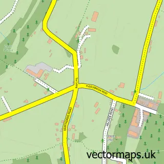
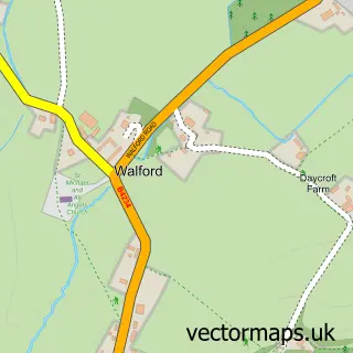
This Ruardean street map is a detailed vector street map covering a 750m x 750m area. Select a larger area to create and download your own vector street map of Ruardean.
The 750-metre map sample for Ruardean covers 241 mapped buildings and approximately 28.2 km of road detail, of which 23 named roads are named. The immediate area includes 1 school, 1 GP surgery within 2 miles and 1 MOT station, with 3 within 2 miles. The wider area around Ruardean features 1 tourism point of interest, 1 food and drink venue and 1 hotel. To create a larger or custom map of Ruardean, the map builder lets you define your own coverage area and download editable SVG, PDF and PNG files.
Create a larger editable map of Ruardean
Choose any area you need and generate a high-quality vector map instantly. Perfect for print, planning, design, business and personal use.

This Ruardean street map in Gloucestershire is available as downloadable SVG, PDF and PNG map files, or as a printed map for planning, business, display, education, local information and design work. You can also create a larger custom map area using the map selector.
What this Ruardean map sample shows
Ruardean lies within Ruardean Cp parish, part of Mitcheldean, Ruardean & Drybrook ward in the Forest Of Dean District local authority area. The postcode geography for this area includes the GL postcode area, the GL17 postcode district and the GL17 9 postcode sector. Residents fall under the Nhs Gloucestershire Integrated Care Board for NHS services.
Local features near Ruardean
Within 2 milesAmenities and services in and around Ruardean.
Administrative and postcode information for Ruardean
Ruardean lies within Ruardean Cp parish, part of Mitcheldean, Ruardean & Drybrook ward in the Forest Of Dean District local authority area. The postcode geography for this area includes the GL postcode area, the GL17 postcode district and the GL17 9 postcode sector. Residents fall under the Nhs Gloucestershire Integrated Care Board for NHS services.
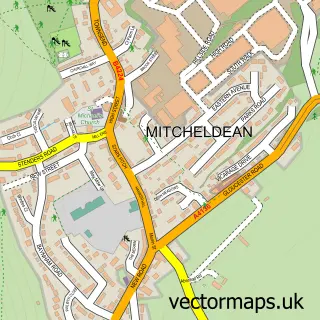
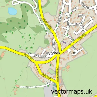
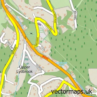
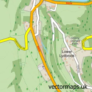
Nearby street map samples around Ruardean

More street maps in Gloucestershire
750 metre map area coverage
Boundary, postcode and point of interest information for the 750m x 750m rectangle centred on this sample map.
Boundaries containing map centre
Constituency: Forest of Dean Co Const
County: Gloucestershire County
District: Forest of Dean District
Icb: NHS Gloucestershire ICB
Parish: Ruardean CP
Police Force: gloucestershire
Postcode District: GL17
Postcode Sector: GL17 9
Ward: Mitcheldean, Ruardean & Drybrook Ward
Nearby boundaries intersecting sample
No additional intersecting boundaries found.
Postcode coverage
POI category counts
Doctor: 2
Arts And Crafts: 1
Automotive Repair: 1
Bed And Breakfast: 1
Cafe: 1
Castle: 1
Church Cathedral: 1
Community Center: 1
Contractor: 1
Elementary School: 1
Sample points of interest
- Ruardean Garden Pottery
- Ruardean Service Station
- Malt Shovel Inn
- Jacks Chippy
- Ruardean Castle
- St John the Baptist Church
- Ruardean Village Memorial Hall
- C S S Pools & Leisure
- Forest Health Care
- Ruardean Surgery
- Ruardean Church of England Primary School
- Ross-Dean Locksmiths
Create a larger editable map of Ruardean
This sample shows only a 750 metre area. To create a larger map of Ruardean, use our map builder to choose your own coverage area, add titles and download editable SVG, PDF and PNG files.
Create a custom map of Ruardean