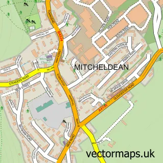
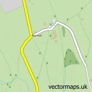
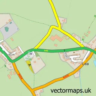
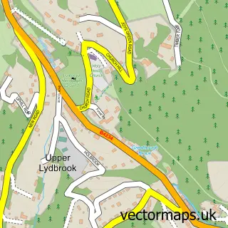
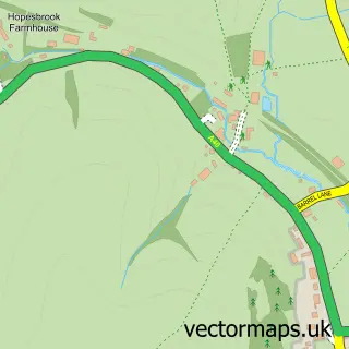
This Drybrook street map is a detailed vector street map covering a 750m x 750m area. Select a larger area to create and download your own vector street map of Drybrook.
The 750-metre map sample for Drybrook covers 295 mapped buildings and approximately 36.5 km of road detail, of which 19 named roads are named. The immediate area includes 1 school, 2 GP surgeries within 2 miles, 1 pub and 1 MOT station, with 9 within 2 miles. The wider area around Drybrook features 2 food and drink venues and 1 campsite within 2 miles. To create a larger or custom map of Drybrook, the map builder lets you define your own coverage area and download editable SVG, PDF and PNG files.
Create a larger editable map of Drybrook
Choose any area you need and generate a high-quality vector map instantly. Perfect for print, planning, design, business and personal use.

This Drybrook street map in Gloucestershire is available as downloadable SVG, PDF and PNG map files, or as a printed map for planning, business, display, education, local information and design work. You can also create a larger custom map area using the map selector.
What this Drybrook map sample shows
Drybrook lies within Drybrook Cp parish, part of Mitcheldean, Ruardean & Drybrook ward in the Forest Of Dean District local authority area. The postcode geography for this area includes the GL postcode area, the GL17 postcode district and the GL17 9 postcode sector. Residents fall under the Nhs Gloucestershire Integrated Care Board for NHS services.
Local features near Drybrook
Within 2 milesAmenities and services in and around Drybrook.
Administrative and postcode information for Drybrook
The local authority covering Drybrook is Forest Of Dean District, within the county of Gloucestershire. The settlement lies within Mitcheldean, Ruardean & Drybrook ward and Drybrook Cp civil parish. The GL17 postcode district and GL17 9 postcode sector serve the immediate area. NHS provision in the area is delivered through Gloucestershire Hospitals Nhs Foundation Trust.
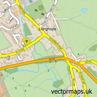
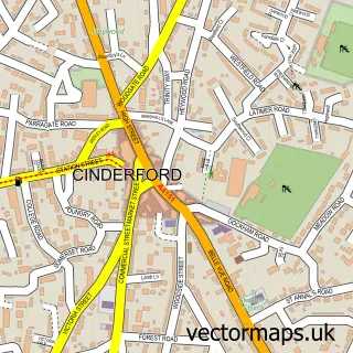
Nearby street map samples around Drybrook

More street maps in Gloucestershire
750 metre map area coverage
Boundary, postcode and point of interest information for the 750m x 750m rectangle centred on this sample map.
Boundaries containing map centre
Constituency: Forest of Dean Co Const
County: Gloucestershire County
District: Forest of Dean District
Icb: NHS Gloucestershire ICB
Parish: Drybrook CP
Police Force: gloucestershire
Postcode District: GL17
Postcode Sector: GL17 9
Ward: Mitcheldean, Ruardean & Drybrook Ward
Nearby boundaries intersecting sample
No additional intersecting boundaries found.
Postcode coverage
POI category counts
Convenience Store: 3
Doctor: 2
Electrician: 2
Hair Salon: 2
Alternative Medicine: 1
Art Gallery: 1
Arts And Crafts: 1
Arts And Entertainment: 1
Atms: 1
Books Mags Music And Video: 1
Sample points of interest
- Mandy Pullen - Shamanic Practitioner
- The Yard Print Studio
- Creative Woodturning
- Monique Oliver Art
- Midcounties Co-Op Drybrook
- Drybrook Post Office
- Tohunga
- Drybrook and District Male Voice Choir
- Boost Coffee Co.
- Premier
- Spar
- Your Coop Food
Create a larger editable map of Drybrook
This sample shows only a 750 metre area. To create a larger map of Drybrook, use our map builder to choose your own coverage area, add titles and download editable SVG, PDF and PNG files.
Create a custom map of Drybrook