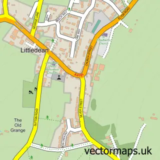
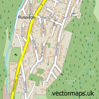
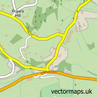
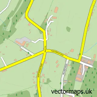
This Cinderford street map is a detailed vector street map covering a 750m x 750m area. Select a larger area to create and download your own vector street map of Cinderford.
The 750-metre map sample for Cinderford covers 621 mapped buildings and approximately 71.6 km of road detail, of which 51 named roads are named. The immediate area includes 2 GP surgeries within 2 miles, 4 pubs and 1 MOT station, with 8 within 2 miles. The wider area around Cinderford features 1 tourism point of interest and 8 food and drink venues. To create a larger or custom map of Cinderford, the map builder lets you define your own coverage area and download editable SVG, PDF and PNG files.
Create a larger editable map of Cinderford
Choose any area you need and generate a high-quality vector map instantly. Perfect for print, planning, design, business and personal use.

This Cinderford street map in Gloucestershire is available as downloadable SVG, PDF and PNG map files, or as a printed map for planning, business, display, education, local information and design work. You can also create a larger custom map area using the map selector.
What this Cinderford map sample shows
Cinderford lies within Cinderford Cp parish, part of Cinderford East ward in the Forest Of Dean District local authority area. The postcode geography for this area includes the GL postcode area, the GL14 postcode district and the GL14 2 postcode sector. Residents fall under the Nhs Gloucestershire Integrated Care Board for NHS services.
Local features near Cinderford
Within 2 milesAmenities and services in and around Cinderford.
Administrative and postcode information for Cinderford
The local authority covering Cinderford is Forest Of Dean District, within the county of Gloucestershire. The settlement lies within Cinderford East ward and Cinderford Cp civil parish. The GL14 postcode district and GL14 2 postcode sector serve the immediate area. NHS provision in the area is delivered through Gloucestershire Hospitals Nhs Foundation Trust.
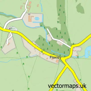
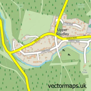
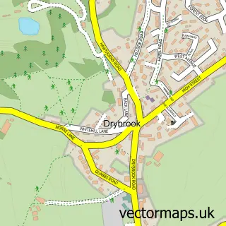
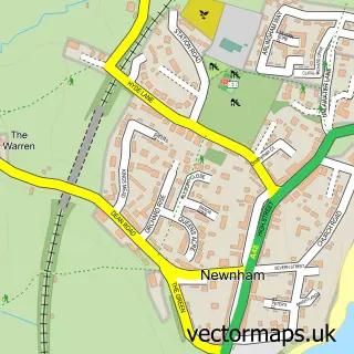
Nearby street map samples around Cinderford

More street maps in Gloucestershire
750 metre map area coverage
Boundary, postcode and point of interest information for the 750m x 750m rectangle centred on this sample map.
Boundaries containing map centre
Constituency: Forest of Dean Co Const
County: Gloucestershire County
District: Forest of Dean District
Icb: NHS Gloucestershire ICB
Parish: Cinderford CP
Police Force: gloucestershire
Postcode District: GL14
Postcode Sector: GL14 2
Ward: Cinderford East Ward
Nearby boundaries intersecting sample
Ward: Cinderford West Ward
Postcode coverage
POI category counts
Convenience Store: 8
Beauty Salon: 7
Barber: 6
Charity Organization: 6
Fish And Chips Restaurant: 5
Professional Services: 5
Assisted Living Facility: 4
Atms: 4
Church Cathedral: 4
Community Services Non Profits: 4
Sample points of interest
- I D 2 Design
- Picture House
- Holmleigh Care Homes
- Lynwood House
- Merryden Care
- Stepping Stones Resettlement Unit
- PayPoint
- PayPoint
- Payzone
- Santander
- A B Satellite & Aerial Installation
- HSBC Bank
Create a larger editable map of Cinderford
This sample shows only a 750 metre area. To create a larger map of Cinderford, use our map builder to choose your own coverage area, add titles and download editable SVG, PDF and PNG files.
Create a custom map of Cinderford