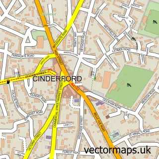
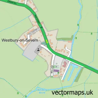
This Littledean street map is a detailed vector street map covering a 750m x 750m area. Select a larger area to create and download your own vector street map of Littledean.
The 750-metre map sample for Littledean covers 209 mapped buildings and approximately 35.0 km of road detail, of which 13 named roads are named. The immediate area includes 1 school, 2 GP surgeries within 2 miles, 1 pub and 7 MOT stations within 2 miles. The wider area around Littledean features 2 tourism points of interest, 1 food and drink venue and 2 hotels. To create a larger or custom map of Littledean, the map builder lets you define your own coverage area and download editable SVG, PDF and PNG files.
Create a larger editable map of Littledean
Choose any area you need and generate a high-quality vector map instantly. Perfect for print, planning, design, business and personal use.

This Littledean street map in Gloucestershire is available as downloadable SVG, PDF and PNG map files, or as a printed map for planning, business, display, education, local information and design work. You can also create a larger custom map area using the map selector.
What this Littledean map sample shows
Littledean lies within Littledean Cp parish, part of Newnham ward in the Forest Of Dean District local authority area. The postcode geography for this area includes the GL postcode area, the GL14 postcode district and the GL14 3 postcode sector. Residents fall under the Nhs Gloucestershire Integrated Care Board for NHS services.
Local features near Littledean
Within 2 milesAmenities and services in and around Littledean.
Administrative and postcode information for Littledean
Littledean lies within Littledean Cp parish, part of Newnham ward in the Forest Of Dean District local authority area. The postcode geography for this area includes the GL postcode area, the GL14 postcode district and the GL14 3 postcode sector. Residents fall under the Nhs Gloucestershire Integrated Care Board for NHS services.
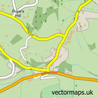
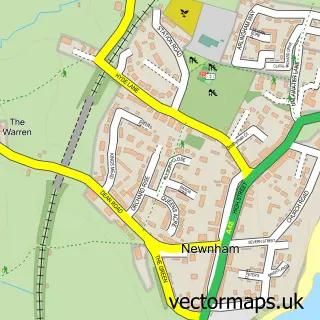
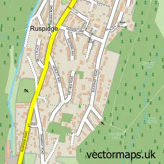
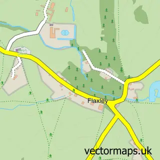
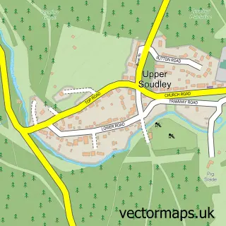
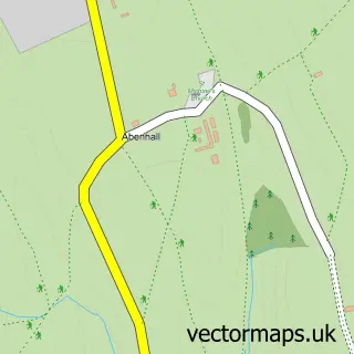
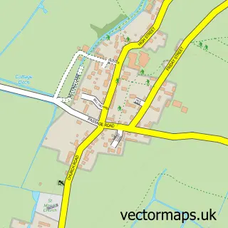
Nearby street map samples around Littledean

More street maps in Gloucestershire
750 metre map area coverage
Boundary, postcode and point of interest information for the 750m x 750m rectangle centred on this sample map.
Boundaries containing map centre
Constituency: Forest of Dean Co Const
County: Gloucestershire County
District: Forest of Dean District
Icb: NHS Gloucestershire ICB
Parish: Littledean CP
Police Force: gloucestershire
Postcode District: GL14
Postcode Sector: GL14 3
Ward: Newnham Ward
Nearby boundaries intersecting sample
Parish: Ruspidge and Soudley CP
Postcode Sector: GL14 2
Postcode coverage
POI category counts
Beauty Salon: 2
Brewery: 2
Church Cathedral: 2
Hotel: 2
Shipping Center: 2
Active Life: 1
Arts And Entertainment: 1
Automotive Repair: 1
Bar: 1
Bed And Breakfast: 1
Sample points of interest
- Forest of Dean Weather Centre
- Bird's Pottery
- CDT Auto Repairs
- Littledean Tap
- Michelles Beauty
- Nightingale Holistic
- Brayne Court Bed and Breakfast
- Bespoke Brewing Co.
- Bespoke Brewing Littledean Tap
- Elizabeth James Confectionery
- Little Feast Food ltd
- Littledean URC Church
Create a larger editable map of Littledean
This sample shows only a 750 metre area. To create a larger map of Littledean, use our map builder to choose your own coverage area, add titles and download editable SVG, PDF and PNG files.
Create a custom map of Littledean