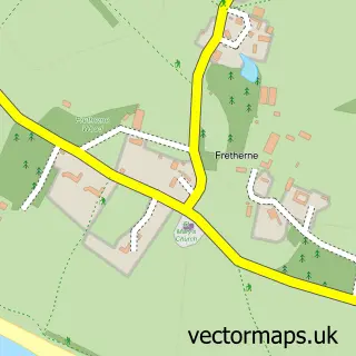
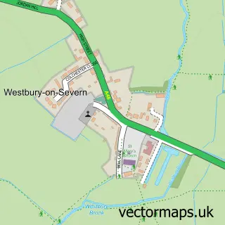
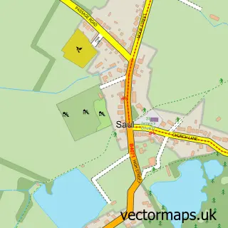
This Arlingham street map is a detailed vector street map covering a 750m x 750m area. Select a larger area to create and download your own vector street map of Arlingham.
The 750-metre map sample for Arlingham covers 136 mapped buildings and approximately 23.2 km of road detail, of which 9 named roads are named. The immediate area includes 2 pubs. The wider area around Arlingham features 2 food and drink venues and 1 campsite within 2 miles. To create a larger or custom map of Arlingham, the map builder lets you define your own coverage area and download editable SVG, PDF and PNG files.
Create a larger editable map of Arlingham
Choose any area you need and generate a high-quality vector map instantly. Perfect for print, planning, design, business and personal use.

This Arlingham street map in Gloucestershire is available as downloadable SVG, PDF and PNG map files, or as a printed map for planning, business, display, education, local information and design work. You can also create a larger custom map area using the map selector.
What this Arlingham map sample shows
Arlingham lies within Arlingham Cp parish, part of Severn ward in the Stroud District local authority area. The postcode geography for this area includes the GL postcode area, the GL2 postcode district and the GL2 7 postcode sector. Residents fall under the Nhs Gloucestershire Integrated Care Board for NHS services.
Local features near Arlingham
Within 2 milesAmenities and services in and around Arlingham.
Administrative and postcode information for Arlingham
Arlingham lies within Arlingham Cp parish, part of Severn ward in the Stroud District local authority area. The postcode geography for this area includes the GL postcode area, the GL2 postcode district and the GL2 7 postcode sector. Residents fall under the Nhs Gloucestershire Integrated Care Board for NHS services.
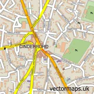
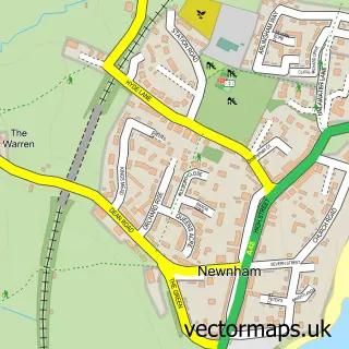
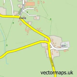
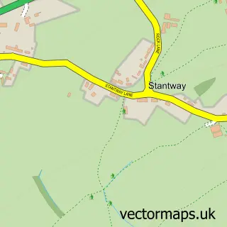
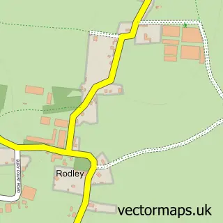
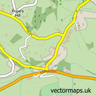
Nearby street map samples around Arlingham

More street maps in Gloucestershire
750 metre map area coverage
Boundary, postcode and point of interest information for the 750m x 750m rectangle centred on this sample map.
Boundaries containing map centre
Constituency: Stroud Co Const
County: Gloucestershire County
District: Stroud District
Icb: NHS Gloucestershire ICB
Parish: Arlingham CP
Police Force: gloucestershire
Postcode District: GL2
Postcode Sector: GL2 7
Ward: Severn Ward
Nearby boundaries intersecting sample
No additional intersecting boundaries found.
Postcode coverage
POI category counts
Pub: 2
Shipping Center: 2
Anglican Church: 1
Business Consulting: 1
Convenience Store: 1
Farm: 1
Parking: 1
Photographer: 1
Town Hall: 1
Sample points of interest
- St Mary the Virgin Arlingham
- GWR Consultants
- The Plastic Free Planet
- St Augustines Farm
- Passage Rd Parking
- Anthony Ryan Photography
- The Red Lion
- The Red Lion
- Arlingham Post Office
- Post Office-Arlingham
- Arlingham Victory Hall
Create a larger editable map of Arlingham
This sample shows only a 750 metre area. To create a larger map of Arlingham, use our map builder to choose your own coverage area, add titles and download editable SVG, PDF and PNG files.
Create a custom map of Arlingham