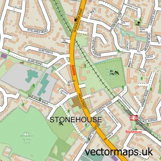
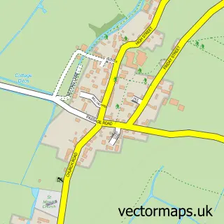
This Saul street map is a detailed vector street map covering a 750m x 750m area. Select a larger area to create and download your own vector street map of Saul.
The 750-metre map sample for Saul covers 128 mapped buildings and approximately 17.6 km of road detail, of which 5 named roads are named. The immediate area includes 1 MOT station, with 2 within 2 miles. The wider area around Saul features 1 tourism point of interest. To create a larger or custom map of Saul, the map builder lets you define your own coverage area and download editable SVG, PDF and PNG files.
Create a larger editable map of Saul
Choose any area you need and generate a high-quality vector map instantly. Perfect for print, planning, design, business and personal use.

This Saul street map in Gloucestershire is available as downloadable SVG, PDF and PNG map files, or as a printed map for planning, business, display, education, local information and design work. You can also create a larger custom map area using the map selector.
What this Saul map sample shows
Saul lies within Fretherne With Saul Cp parish, part of Severn ward in the Stroud District local authority area. The postcode geography for this area includes the GL postcode area, the GL2 postcode district and the GL2 7 postcode sector. Residents fall under the Nhs Gloucestershire Integrated Care Board for NHS services.
Local features near Saul
Within 2 milesAmenities and services in and around Saul.
Administrative and postcode information for Saul
The local authority covering Saul is Stroud District, within the county of Gloucestershire. The settlement lies within Severn ward and Fretherne With Saul Cp civil parish. The GL2 postcode district and GL2 7 postcode sector serve the immediate area. NHS provision in the area is delivered through Gloucestershire Hospitals Nhs Foundation Trust.
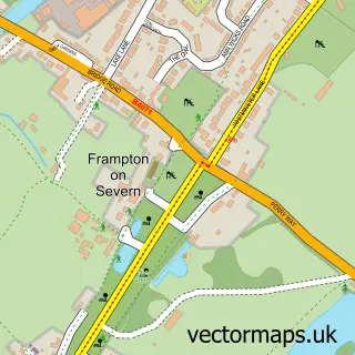
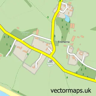
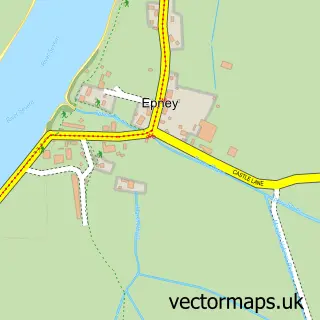
Nearby street map samples around Saul

More street maps in Gloucestershire
750 metre map area coverage
Boundary, postcode and point of interest information for the 750m x 750m rectangle centred on this sample map.
Boundaries containing map centre
Constituency: Stroud Co Const
County: Gloucestershire County
District: Stroud District
Icb: NHS Gloucestershire ICB
Parish: Fretherne with Saul CP
Police Force: gloucestershire
Postcode District: GL2
Postcode Sector: GL2 7
Ward: Severn Ward
Nearby boundaries intersecting sample
No additional intersecting boundaries found.
Postcode coverage
POI category counts
Furniture Store: 2
Anglican Church: 1
Bed And Breakfast: 1
Boat Service And Repair: 1
Carpenter: 1
Church Cathedral: 1
Framing Store: 1
International Business And Trade Services: 1
Landmark And Historical Building: 1
Osteopathic Physician: 1
Sample points of interest
- St James the Great
- Saul Farm Bed and Breakfast
- Primepower Marine Engineering
- Dampguard
- Saul St James Church
- Acorn Framing Supplies
- Furniture Factory Outlets
- Pallet Racking Co
- Ds Window Cleaning
- Fretherne with Saul
- Severnside Osteopathic Practice
- Saul Children's Play Area
Create a larger editable map of Saul
This sample shows only a 750 metre area. To create a larger map of Saul, use our map builder to choose your own coverage area, add titles and download editable SVG, PDF and PNG files.
Create a custom map of Saul