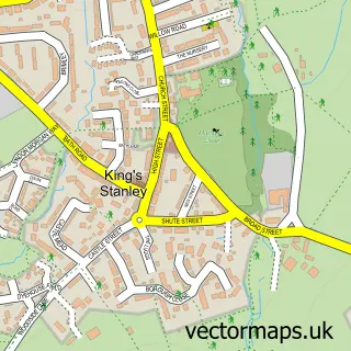
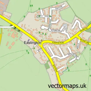
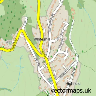
This Stonehouse street map is a detailed vector street map covering a 750m x 750m area. Select a larger area to create and download your own vector street map of Stonehouse.
The 750-metre map sample for Stonehouse covers 472 mapped buildings and approximately 46.1 km of road detail, of which 43 named roads are named. The immediate area includes 2 schools, 1 railway station, 2 GP surgeries and 3 pubs among other local services. The wider area around Stonehouse features 3 tourism points of interest and 8 food and drink venues. To create a larger or custom map of Stonehouse, the map builder lets you define your own coverage area and download editable SVG, PDF and PNG files.
Create a larger editable map of Stonehouse
Choose any area you need and generate a high-quality vector map instantly. Perfect for print, planning, design, business and personal use.

This Stonehouse street map in Gloucestershire is available as downloadable SVG, PDF and PNG map files, or as a printed map for planning, business, display, education, local information and design work. You can also create a larger custom map area using the map selector.
What this Stonehouse map sample shows
Stonehouse lies within Stonehouse Cp parish, part of Stonehouse ward in the Stroud District local authority area. The postcode geography for this area includes the GL postcode area, the GL10 postcode district and the GL10 2 postcode sector. Residents fall under the Nhs Gloucestershire Integrated Care Board for NHS services.
Local features near Stonehouse
Within 2 milesAmenities and services in and around Stonehouse.
Administrative and postcode information for Stonehouse
The local authority covering Stonehouse is Stroud District, within the county of Gloucestershire. The settlement lies within Stonehouse ward and Stonehouse Cp civil parish. The GL10 postcode district and GL10 2 postcode sector serve the immediate area. NHS provision in the area is delivered through Gloucestershire Hospitals Nhs Foundation Trust.
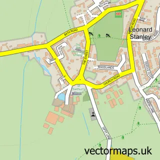
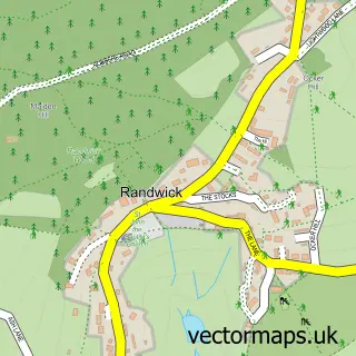
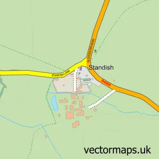
Nearby street map samples around Stonehouse

More street maps in Gloucestershire
750 metre map area coverage
Boundary, postcode and point of interest information for the 750m x 750m rectangle centred on this sample map.
Boundaries containing map centre
Constituency: Stroud Co Const
County: Gloucestershire County
District: Stroud District
Icb: NHS Gloucestershire ICB
Parish: Stonehouse CP
Police Force: gloucestershire
Postcode District: GL10
Postcode Sector: GL10 2
Ward: Stonehouse Ward
Nearby boundaries intersecting sample
No additional intersecting boundaries found.
Postcode coverage
POI category counts
Convenience Store: 8
Church Cathedral: 6
Elementary School: 5
Cafe: 4
Gas Station: 4
Hair Salon: 4
Automotive Repair: 3
Banks: 3
Barber: 3
Beauty Salon: 3
Sample points of interest
- Taxassist Accountants
- Advocate Design Agency
- Stonehouse Holistic Centre & Medical Clinic
- Break Charity Shop
- Vintage Clocks
- L A Hurn
- JW Architectural Studio
- Thingsfor
- Order of St John Primary Care Trust
- Midcounties Co-Op Stonehouse
- Caroline Jaine - The Resilience Guide
- Volkswagen & Audi MOT Centre
Create a larger editable map of Stonehouse
This sample shows only a 750 metre area. To create a larger map of Stonehouse, use our map builder to choose your own coverage area, add titles and download editable SVG, PDF and PNG files.
Create a custom map of Stonehouse