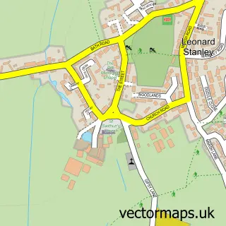
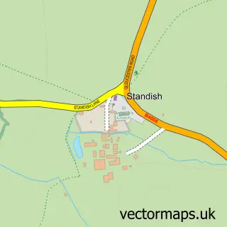
This Eastington street map is a detailed vector street map covering a 750m x 750m area. Select a larger area to create and download your own vector street map of Eastington.
The 750-metre map sample for Eastington covers 284 mapped buildings and approximately 23.7 km of road detail, of which 14 named roads are named. The immediate area includes 2 GP surgeries within 2 miles, 2 pubs and 1 MOT station, with 4 within 2 miles. The wider area around Eastington features 2 food and drink venues. To create a larger or custom map of Eastington, the map builder lets you define your own coverage area and download editable SVG, PDF and PNG files.
Create a larger editable map of Eastington
Choose any area you need and generate a high-quality vector map instantly. Perfect for print, planning, design, business and personal use.

This Eastington street map in Gloucestershire is available as downloadable SVG, PDF and PNG map files, or as a printed map for planning, business, display, education, local information and design work. You can also create a larger custom map area using the map selector.
What this Eastington map sample shows
Eastington lies within Eastington Cp parish, part of Severn ward in the Stroud District local authority area. The postcode geography for this area includes the GL postcode area, the GL10 postcode district and the GL10 3 postcode sector. Residents fall under the Nhs Gloucestershire Integrated Care Board for NHS services.
Local features near Eastington
Within 2 milesAmenities and services in and around Eastington.
Administrative and postcode information for Eastington
Eastington lies within Eastington Cp parish, part of Severn ward in the Stroud District local authority area. The postcode geography for this area includes the GL postcode area, the GL10 postcode district and the GL10 3 postcode sector. Residents fall under the Nhs Gloucestershire Integrated Care Board for NHS services.
Nearby street map samples around Eastington

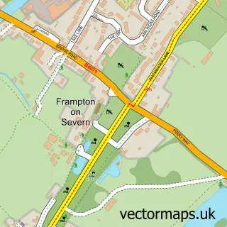
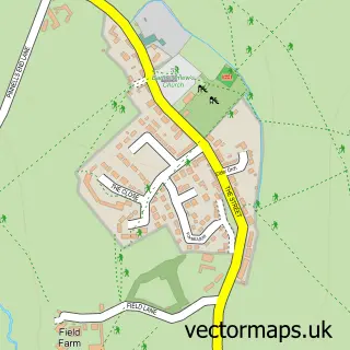
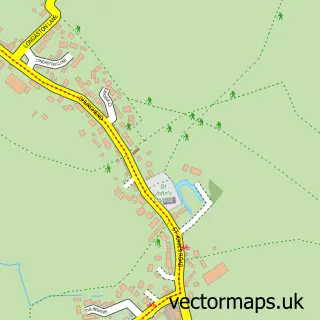
More street maps in Gloucestershire
750 metre map area coverage
Boundary, postcode and point of interest information for the 750m x 750m rectangle centred on this sample map.
Boundaries containing map centre
Constituency: Stroud Co Const
County: Gloucestershire County
District: Stroud District
Icb: NHS Gloucestershire ICB
Parish: Eastington CP
Police Force: gloucestershire
Postcode District: GL10
Postcode Sector: GL10 3
Ward: Severn Ward
Nearby boundaries intersecting sample
No additional intersecting boundaries found.
Postcode coverage
POI category counts
Hair Salon: 3
Beauty Salon: 2
Building Supply Store: 2
Grocery Store: 2
Pub: 2
Shipping Center: 2
Assisted Living Facility: 1
Atms: 1
Auto Detailing: 1
Automotive Repair: 1
Sample points of interest
- The Grange Care Centre
- Midcounties Co-Op Eastington, Eastington
- Professional Valeting Services
- Bath Road Garage
- The Old Badger Inn
- Owen Harris Memorial Ground
- Little Luxuries Beauty
- Ultimate Beauty by Louise
- The Lazy Goose
- Hotspot Solar
- Smiths
- J Broomhall Ltd Abattoir Services and Master Butchers
Create a larger editable map of Eastington
This sample shows only a 750 metre area. To create a larger map of Eastington, use our map builder to choose your own coverage area, add titles and download editable SVG, PDF and PNG files.
Create a custom map of Eastington