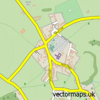
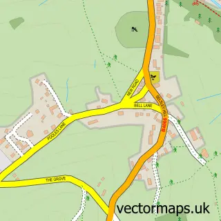
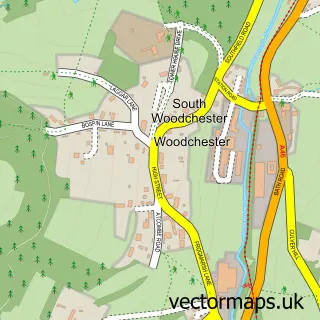
This Leonard Stanley street map is a detailed vector street map covering a 750m x 750m area. Select a larger area to create and download your own vector street map of Leonard Stanley.
The 750-metre map sample for Leonard Stanley covers 246 mapped buildings and approximately 33.8 km of road detail, of which 18 named roads are named. The immediate area includes 2 GP surgeries within 2 miles, 1 pub and 9 MOT stations within 2 miles. The wider area around Leonard Stanley features 1 tourism point of interest and 1 food and drink venue. To create a larger or custom map of Leonard Stanley, the map builder lets you define your own coverage area and download editable SVG, PDF and PNG files.
Create a larger editable map of Leonard Stanley
Choose any area you need and generate a high-quality vector map instantly. Perfect for print, planning, design, business and personal use.

This Leonard Stanley street map in Gloucestershire is available as downloadable SVG, PDF and PNG map files, or as a printed map for planning, business, display, education, local information and design work. You can also create a larger custom map area using the map selector.
What this Leonard Stanley map sample shows
Leonard Stanley lies within Leonard Stanley Cp parish, part of The Stanleys ward in the Stroud District local authority area. The postcode geography for this area includes the GL postcode area, the GL10 postcode district and the GL10 3 postcode sector. Residents fall under the Nhs Gloucestershire Integrated Care Board for NHS services.
Local features near Leonard Stanley
Within 2 milesAmenities and services in and around Leonard Stanley.
Administrative and postcode information for Leonard Stanley
Leonard Stanley lies within Leonard Stanley Cp parish, part of The Stanleys ward in the Stroud District local authority area. The postcode geography for this area includes the GL postcode area, the GL10 postcode district and the GL10 3 postcode sector. Residents fall under the Nhs Gloucestershire Integrated Care Board for NHS services.
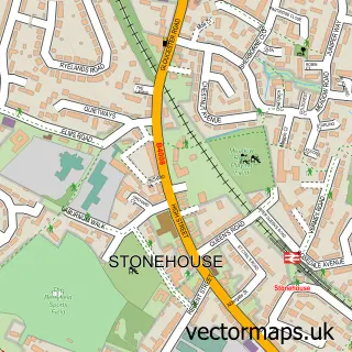
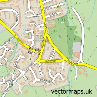
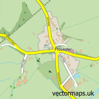
Nearby street map samples around Leonard Stanley

More street maps in Gloucestershire
750 metre map area coverage
Boundary, postcode and point of interest information for the 750m x 750m rectangle centred on this sample map.
Boundaries containing map centre
Constituency: Stroud Co Const
County: Gloucestershire County
District: Stroud District
Icb: NHS Gloucestershire ICB
Parish: Leonard Stanley CP
Police Force: gloucestershire
Postcode District: GL10
Postcode Sector: GL10 3
Ward: The Stanleys Ward
Nearby boundaries intersecting sample
Parish: King's Stanley CP
Postcode coverage
POI category counts
Professional Services: 2
Yoga Studio: 2
Anglican Church: 1
Beauty Salon: 1
Church Cathedral: 1
Construction Services: 1
Dairy Farm: 1
Dog Trainer: 1
Education: 1
Furniture Store: 1
Sample points of interest
- St Swithun
- Dear Lashes by Cheri
- St. Swithun Church
- Cotswold Greenscapes Ltd
- Godsells Cheese
- Five Valleys Dog Training School
- Agripix Photograph Libraries
- Cotswold Vintage
- Priory Farm Holidays
- HelpLine Computer Services
- Leonard Stanley Recreation Ground
- Caelo Design
Create a larger editable map of Leonard Stanley
This sample shows only a 750 metre area. To create a larger map of Leonard Stanley, use our map builder to choose your own coverage area, add titles and download editable SVG, PDF and PNG files.
Create a custom map of Leonard Stanley