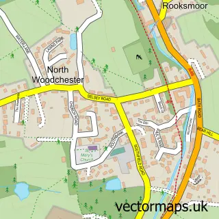
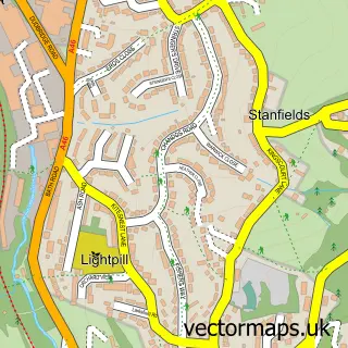
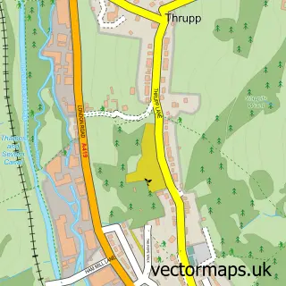
This South Woodchester street map is a detailed vector street map covering a 750m x 750m area. Select a larger area to create and download your own vector street map of South Woodchester.
The 750-metre map sample for South Woodchester covers 149 mapped buildings and approximately 26.8 km of road detail, of which 11 named roads are named. The immediate area includes 1 GP surgery within 2 miles, 1 pub and 2 MOT stations, with 18 within 2 miles. The wider area around South Woodchester features 1 food and drink venue. To create a larger or custom map of South Woodchester, the map builder lets you define your own coverage area and download editable SVG, PDF and PNG files.
Create a larger editable map of South Woodchester
Choose any area you need and generate a high-quality vector map instantly. Perfect for print, planning, design, business and personal use.

This South Woodchester street map in Gloucestershire is available as downloadable SVG, PDF and PNG map files, or as a printed map for planning, business, display, education, local information and design work. You can also create a larger custom map area using the map selector.
What this South Woodchester map sample shows
South Woodchester lies within Woodchester Cp parish, part of Amberley And Woodchester ward in the Stroud District local authority area. The postcode geography for this area includes the GL postcode area, the GL5 postcode district and the GL5 5 postcode sector. Residents fall under the Nhs Gloucestershire Integrated Care Board for NHS services.
Local features near South Woodchester
Within 2 milesAmenities and services in and around South Woodchester.
Administrative and postcode information for South Woodchester
South Woodchester lies within Woodchester Cp parish, part of Amberley And Woodchester ward in the Stroud District local authority area. The postcode geography for this area includes the GL postcode area, the GL5 postcode district and the GL5 5 postcode sector. Residents fall under the Nhs Gloucestershire Integrated Care Board for NHS services.
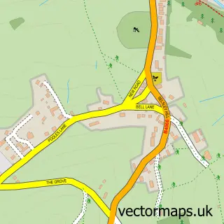
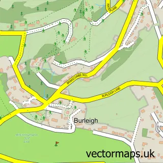
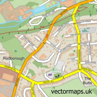
Nearby street map samples around South Woodchester
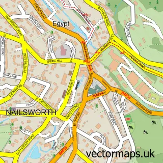

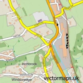
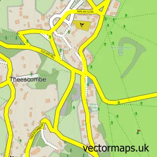
More street maps in Gloucestershire
750 metre map area coverage
Boundary, postcode and point of interest information for the 750m x 750m rectangle centred on this sample map.
Boundaries containing map centre
Constituency: Stroud Co Const
County: Gloucestershire County
District: Stroud District
Icb: NHS Gloucestershire ICB
Parish: Woodchester CP
Police Force: gloucestershire
Postcode District: GL5
Postcode Sector: GL5 5
Ward: Amberley and Woodchester Ward
Nearby boundaries intersecting sample
Parish: Minchinhampton CP
Postcode coverage
POI category counts
Building Supply Store: 2
Auto Body Shop: 1
Automotive Repair: 1
Bicycle Shop: 1
Building Contractor: 1
Business Manufacturing And Supply: 1
Ceiling Service: 1
Chiropractor: 1
Computer Store: 1
Driving School: 1
Sample points of interest
- Rjm Repair And Paint
- Nigel Scotford
- The Bike Works
- Simple Building Solutions
- Alltimes Coatings
- Nolan
- Bottle Green Drinks Company
- Asbestos Roof Repair
- Personal Best Chiropractic
- Ibis Computer Services
- Robbie's Driving School
- Hands on Harps
Create a larger editable map of South Woodchester
This sample shows only a 750 metre area. To create a larger map of South Woodchester, use our map builder to choose your own coverage area, add titles and download editable SVG, PDF and PNG files.
Create a custom map of South Woodchester