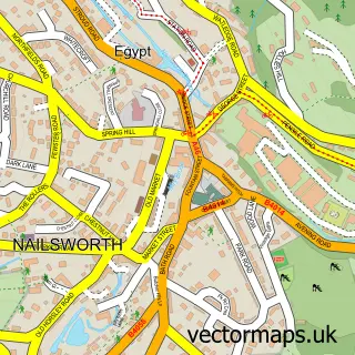
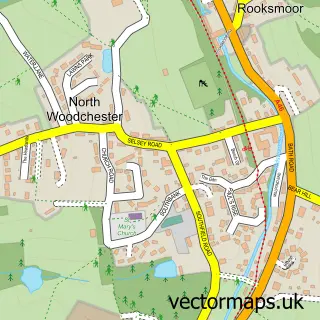
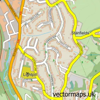
This Inchbrook street map is a detailed vector street map covering a 750m x 750m area. Select a larger area to create and download your own vector street map of Inchbrook.
The 750-metre map sample for Inchbrook covers 174 mapped buildings and approximately 39.9 km of road detail, of which 12 named roads are named. The immediate area includes 1 GP surgery within 2 miles and 1 MOT station, with 8 within 2 miles. The wider area around Inchbrook features 4 tourism points of interest and 1 hotel. To create a larger or custom map of Inchbrook, the map builder lets you define your own coverage area and download editable SVG, PDF and PNG files.
Create a larger editable map of Inchbrook
Choose any area you need and generate a high-quality vector map instantly. Perfect for print, planning, design, business and personal use.

This Inchbrook street map in Gloucestershire is available as downloadable SVG, PDF and PNG map files, or as a printed map for planning, business, display, education, local information and design work. You can also create a larger custom map area using the map selector.
What this Inchbrook map sample shows
Inchbrook lies within Minchinhampton Cp parish, part of Amberley And Woodchester ward in the Stroud District local authority area. The postcode geography for this area includes the GL postcode area, the GL5 postcode district and the GL5 5 postcode sector. Residents fall under the Nhs Gloucestershire Integrated Care Board for NHS services.
Local features near Inchbrook
Within 2 milesAmenities and services in and around Inchbrook.
Administrative and postcode information for Inchbrook
Inchbrook lies within Minchinhampton Cp parish, part of Amberley And Woodchester ward in the Stroud District local authority area. The postcode geography for this area includes the GL postcode area, the GL5 postcode district and the GL5 5 postcode sector. Residents fall under the Nhs Gloucestershire Integrated Care Board for NHS services.
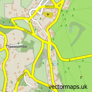
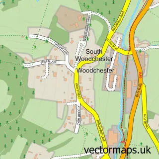
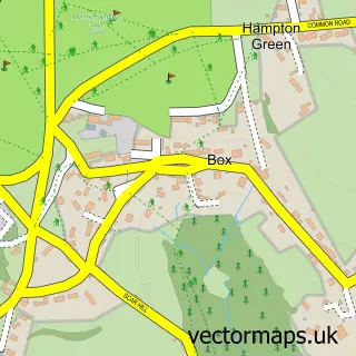
Nearby street map samples around Inchbrook

More street maps in Gloucestershire
750 metre map area coverage
Boundary, postcode and point of interest information for the 750m x 750m rectangle centred on this sample map.
Boundaries containing map centre
Constituency: Stroud Co Const
County: Gloucestershire County
District: Stroud District
Icb: NHS Gloucestershire ICB
Police Force: gloucestershire
Postcode District: GL5
Postcode Sector: GL5 5
Ward: Amberley and Woodchester Ward
Nearby boundaries intersecting sample
Parish: Minchinhampton CP, Nailsworth CP, Woodchester CP
Postcode District: GL6
Postcode Sector: GL6 0
Ward: Nailsworth Ward
Postcode coverage
POI category counts
Professional Services: 3
Amusement Park: 2
Building Supply Store: 2
Caterer: 2
Engineering Services: 2
Landmark And Historical Building: 2
Yoga Studio: 2
Accommodation: 1
Assisted Living Facility: 1
Auto Upholstery: 1
Sample points of interest
- The Dye Cottage
- Interlink L G
- Interlink L G Ltd.
- Crystal Fountain Village
- E R Upholstery
- Gydynap Garage
- The Fresh Standard Brew Co. Ltd.
- Stroud Office Interiors Ltd
- Woodchester Cabinet Makers
- Renishaw PLC Woodchester
- M W Ingredients
- Miss Daisy
Create a larger editable map of Inchbrook
This sample shows only a 750 metre area. To create a larger map of Inchbrook, use our map builder to choose your own coverage area, add titles and download editable SVG, PDF and PNG files.
Create a custom map of Inchbrook