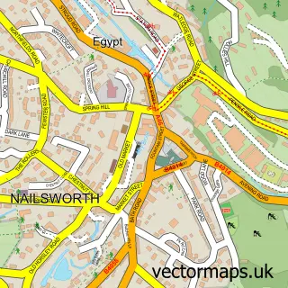
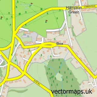
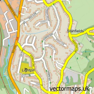
This Amberley street map is a detailed vector street map covering a 750m x 750m area. Select a larger area to create and download your own vector street map of Amberley.
The 750-metre map sample for Amberley covers 154 mapped buildings and approximately 37.3 km of road detail, of which 4 named roads are named. The immediate area includes 1 school, 2 GP surgeries within 2 miles, 1 pub and 10 MOT stations within 2 miles. The wider area around Amberley features 2 food and drink venues, 1 hotel and 1 campsite within 2 miles. To create a larger or custom map of Amberley, the map builder lets you define your own coverage area and download editable SVG, PDF and PNG files.
Create a larger editable map of Amberley
Choose any area you need and generate a high-quality vector map instantly. Perfect for print, planning, design, business and personal use.

This Amberley street map in Gloucestershire is available as downloadable SVG, PDF and PNG map files, or as a printed map for planning, business, display, education, local information and design work. You can also create a larger custom map area using the map selector.
What this Amberley map sample shows
Amberley lies within Minchinhampton Cp parish, part of Amberley And Woodchester ward in the Stroud District local authority area. The postcode geography for this area includes the GL postcode area, the GL5 postcode district and the GL5 5 postcode sector. Residents fall under the Nhs Gloucestershire Integrated Care Board for NHS services.
Local features near Amberley
Within 2 milesAmenities and services in and around Amberley.
Administrative and postcode information for Amberley
The local authority covering Amberley is Stroud District, within the county of Gloucestershire. The settlement lies within Amberley And Woodchester ward and Minchinhampton Cp civil parish. The GL5 postcode district and GL5 5 postcode sector serve the immediate area. NHS provision in the area is delivered through Gloucestershire Hospitals Nhs Foundation Trust.
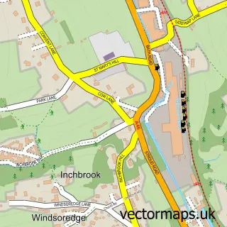
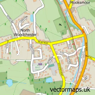
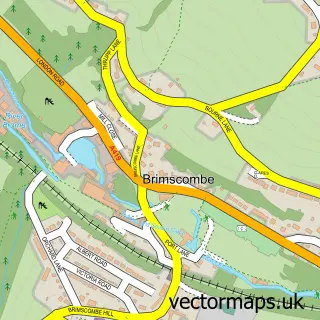
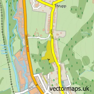
Nearby street map samples around Amberley

More street maps in Gloucestershire
750 metre map area coverage
Boundary, postcode and point of interest information for the 750m x 750m rectangle centred on this sample map.
Boundaries containing map centre
Constituency: Stroud Co Const
County: Gloucestershire County
District: Stroud District
Icb: NHS Gloucestershire ICB
Parish: Minchinhampton CP
Police Force: gloucestershire
Postcode District: GL5
Postcode Sector: GL5 5
Ward: Amberley and Woodchester Ward
Nearby boundaries intersecting sample
Postcode District: GL6
Postcode Sector: GL6 9
Postcode coverage
POI category counts
Anglican Church: 1
Beer Bar: 1
Cafe: 1
Car Dealer: 1
Charity Organization: 1
Church Cathedral: 1
Elementary School: 1
Hotel: 1
Opera And Ballet: 1
Photographer: 1
Sample points of interest
- Holy Trinity, Amberley
- The Black Horse
- Amberley Shop and Cafe
- Tagster motortrade essentials
- New Ventures Trust
- Holy Trinity Church
- Amberley Parochial School
- The Amberley Inn
- Steam Design Ltd.
- Rogue State Media
- Amberley Playgroup
- The Black Horse
Create a larger editable map of Amberley
This sample shows only a 750 metre area. To create a larger map of Amberley, use our map builder to choose your own coverage area, add titles and download editable SVG, PDF and PNG files.
Create a custom map of Amberley