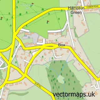
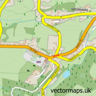
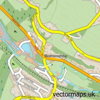
This Nailsworth street map is a detailed vector street map covering a 750m x 750m area. Select a larger area to create and download your own vector street map of Nailsworth.
The 750-metre map sample for Nailsworth covers 457 mapped buildings and approximately 35.0 km of road detail, of which 44 named roads are named. The immediate area includes 1 school, 1 GP surgery within 2 miles, 3 pubs and 2 MOT stations, with 6 within 2 miles. The wider area around Nailsworth features 3 tourism points of interest, 12 food and drink venues and 2 hotels. To create a larger or custom map of Nailsworth, the map builder lets you define your own coverage area and download editable SVG, PDF and PNG files.
Create a larger editable map of Nailsworth
Choose any area you need and generate a high-quality vector map instantly. Perfect for print, planning, design, business and personal use.

This Nailsworth street map in Gloucestershire is available as downloadable SVG, PDF and PNG map files, or as a printed map for planning, business, display, education, local information and design work. You can also create a larger custom map area using the map selector.
What this Nailsworth map sample shows
Nailsworth lies within Nailsworth Cp parish, part of Nailsworth ward in the Stroud District local authority area. The postcode geography for this area includes the GL postcode area, the GL6 postcode district and the GL6 0 postcode sector. Residents fall under the Nhs Gloucestershire Integrated Care Board for NHS services.
Local features near Nailsworth
Within 2 milesAmenities and services in and around Nailsworth.
Administrative and postcode information for Nailsworth
Nailsworth lies within Nailsworth Cp parish, part of Nailsworth ward in the Stroud District local authority area. The postcode geography for this area includes the GL postcode area, the GL6 postcode district and the GL6 0 postcode sector. Residents fall under the Nhs Gloucestershire Integrated Care Board for NHS services.
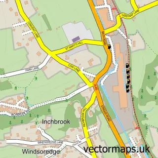
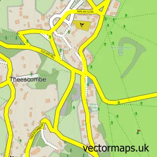
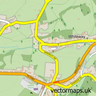
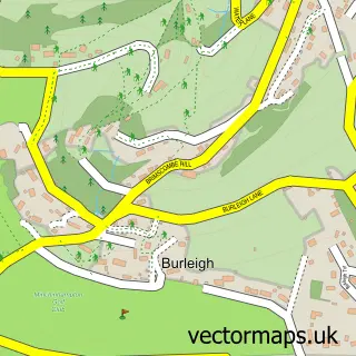
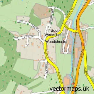
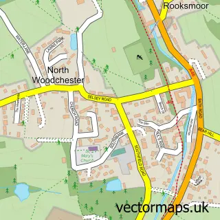
Nearby street map samples around Nailsworth

More street maps in Gloucestershire
750 metre map area coverage
Boundary, postcode and point of interest information for the 750m x 750m rectangle centred on this sample map.
Boundaries containing map centre
Constituency: Stroud Co Const
County: Gloucestershire County
District: Stroud District
Icb: NHS Gloucestershire ICB
Parish: Nailsworth CP
Police Force: gloucestershire
Postcode District: GL6
Postcode Sector: GL6 0
Ward: Nailsworth Ward
Nearby boundaries intersecting sample
No additional intersecting boundaries found.
Postcode coverage
POI category counts
Beauty Salon: 9
Advertising Agency: 7
Flowers And Gifts Shop: 6
Hair Salon: 6
Bakery: 5
Clothing Store: 5
Professional Services: 5
Real Estate Agent: 5
Retail: 5
Veterinarian: 5
Sample points of interest
- Nailsworth Accountancy
- TaxAssist Accountants
- Nailsworth Cycle Track
- Acupuncture For Wellbeing
- Medics-acu
- Barking Dog Art
- Mono Studio
- North Station
- Red Sheep Communications
- Stonewoven Digital
- TPD Design
- The Major Agency
Create a larger editable map of Nailsworth
This sample shows only a 750 metre area. To create a larger map of Nailsworth, use our map builder to choose your own coverage area, add titles and download editable SVG, PDF and PNG files.
Create a custom map of Nailsworth