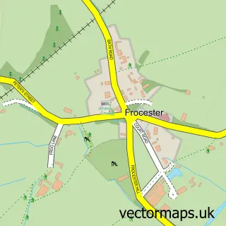
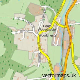
This Nympsfield street map is a detailed vector street map covering a 750m x 750m area. Select a larger area to create and download your own vector street map of Nympsfield.
The 750-metre map sample for Nympsfield covers 119 mapped buildings and approximately 22.4 km of road detail, of which 5 named roads are named. The immediate area includes 1 school, 1 pub and 2 MOT stations within 2 miles. The wider area around Nympsfield features 2 tourism points of interest and 1 food and drink venue. To create a larger or custom map of Nympsfield, the map builder lets you define your own coverage area and download editable SVG, PDF and PNG files.
Create a larger editable map of Nympsfield
Choose any area you need and generate a high-quality vector map instantly. Perfect for print, planning, design, business and personal use.

This Nympsfield street map in Gloucestershire is available as downloadable SVG, PDF and PNG map files, or as a printed map for planning, business, display, education, local information and design work. You can also create a larger custom map area using the map selector.
What this Nympsfield map sample shows
Nympsfield lies within Nympsfield Cp parish, part of Coaley And Uley ward in the Stroud District local authority area. The postcode geography for this area includes the GL postcode area, the GL10 postcode district and the GL10 3 postcode sector. Residents fall under the Nhs Gloucestershire Integrated Care Board for NHS services.
Local features near Nympsfield
Within 2 milesAmenities and services in and around Nympsfield.
Administrative and postcode information for Nympsfield
Nympsfield lies within Nympsfield Cp parish, part of Coaley And Uley ward in the Stroud District local authority area. The postcode geography for this area includes the GL postcode area, the GL10 postcode district and the GL10 3 postcode sector. Residents fall under the Nhs Gloucestershire Integrated Care Board for NHS services.
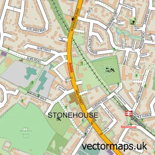
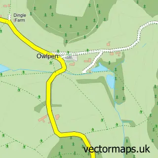
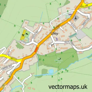
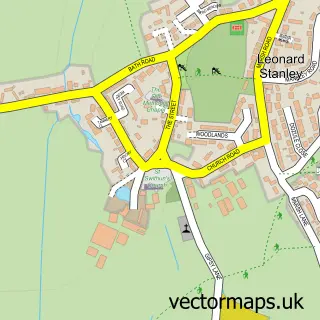
Nearby street map samples around Nympsfield

More street maps in Gloucestershire
750 metre map area coverage
Boundary, postcode and point of interest information for the 750m x 750m rectangle centred on this sample map.
Boundaries containing map centre
Constituency: Stroud Co Const
County: Gloucestershire County
District: Stroud District
Icb: NHS Gloucestershire ICB
Parish: Nympsfield CP
Police Force: gloucestershire
Postcode District: GL10
Postcode Sector: GL10 3
Ward: Coaley & Uley Ward
Nearby boundaries intersecting sample
Parish: Owlpen CP, Uley CP
Postcode District: GL11
Postcode Sector: GL11 5
Postcode coverage
POI category counts
Church Cathedral: 2
Elementary School: 2
Amusement Park: 1
Anglican Church: 1
Architect: 1
Bar: 1
Building Supply Store: 1
Farm: 1
Holiday Rental Home: 1
Landmark And Historical Building: 1
Sample points of interest
- Ghost Adventures -Woodchester Mansion
- St Bartholomew
- Millar Howard Workshop Ltd.
- Nympsfield Working Mens Club
- Sash Window Service
- Church of Saint Bartholomew
- Marist Convent
- St Joseph's Catholic Primary School
- St Josephs School Nympsfield
- Thistledown Centre
- Nympy Cottage , Bay Tree Farm
- Coaley Peak
Create a larger editable map of Nympsfield
This sample shows only a 750 metre area. To create a larger map of Nympsfield, use our map builder to choose your own coverage area, add titles and download editable SVG, PDF and PNG files.
Create a custom map of Nympsfield