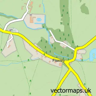
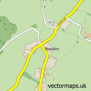
This Westbury-on-Severn street map is a detailed vector street map covering a 750m x 750m area. Select a larger area to create and download your own vector street map of Westbury-on-Severn.
The 750-metre map sample for Westbury-on-Severn covers 77 mapped buildings and approximately 11.9 km of road detail, of which 4 named roads are named. The immediate area includes 1 school, 2 pubs and 1 MOT station within 2 miles. The wider area around Westbury-on-Severn features 1 tourism point of interest and 2 food and drink venues. To create a larger or custom map of Westbury-on-Severn, the map builder lets you define your own coverage area and download editable SVG, PDF and PNG files.
Create a larger editable map of Westbury-on-Severn
Choose any area you need and generate a high-quality vector map instantly. Perfect for print, planning, design, business and personal use.

This Westbury-on-Severn street map in Gloucestershire is available as downloadable SVG, PDF and PNG map files, or as a printed map for planning, business, display, education, local information and design work. You can also create a larger custom map area using the map selector.
What this Westbury-on-Severn map sample shows
Westbury-on-Severn lies within Westbury-On-Severn Cp parish, part of Westbury-On-Severn ward in the Forest Of Dean District local authority area. The postcode geography for this area includes the GL postcode area, the GL14 postcode district and the GL14 1 postcode sector. Residents fall under the Nhs Gloucestershire Integrated Care Board for NHS services.
Local features near Westbury-on-Severn
Within 2 milesAmenities and services in and around Westbury-on-Severn.
Administrative and postcode information for Westbury-on-Severn
The local authority covering Westbury-on-Severn is Forest Of Dean District, within the county of Gloucestershire. The settlement lies within Westbury-On-Severn ward and Westbury-On-Severn Cp civil parish. The GL14 postcode district and GL14 1 postcode sector serve the immediate area. NHS provision in the area is delivered through Gloucestershire Hospitals Nhs Foundation Trust.
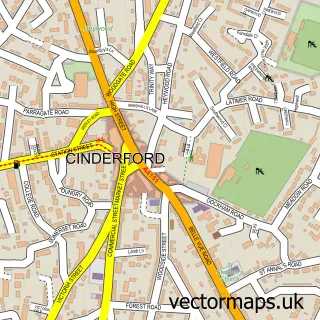
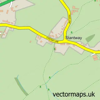
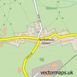
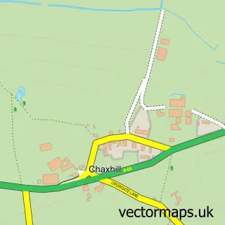
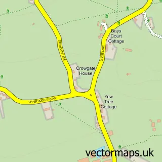
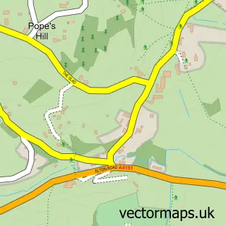
Nearby street map samples around Westbury-on-Severn

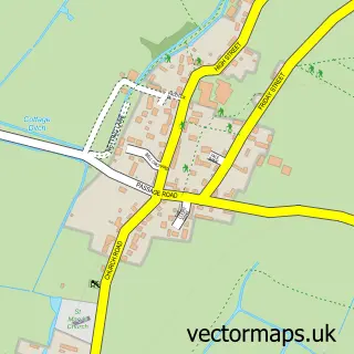
More street maps in Gloucestershire
750 metre map area coverage
Boundary, postcode and point of interest information for the 750m x 750m rectangle centred on this sample map.
Boundaries containing map centre
Constituency: Forest of Dean Co Const
County: Gloucestershire County
District: Forest of Dean District
Icb: NHS Gloucestershire ICB
Parish: Westbury-on-Severn CP
Police Force: gloucestershire
Postcode District: GL14
Postcode Sector: GL14 1
Ward: Westbury-on-Severn Ward
Nearby boundaries intersecting sample
No additional intersecting boundaries found.
Postcode coverage
POI category counts
Church Cathedral: 2
Post Office: 2
Pub: 2
Advertising Agency: 1
Anglican Church: 1
Assisted Living Facility: 1
Attractions And Activities: 1
Bar: 1
Botanical Garden: 1
Counseling And Mental Health: 1
Sample points of interest
- Aspire Shire
- St Peter, St Paul and St Mary
- OSJCT Westbury Court
- Westbury Court Garden
- The Lyon Inn
- Westbury Court Garden
- St Mary, St Peter and St Paul Church
- Westbury-on-Severn Parish Church
- Gloucestershire Mindfulness and Counselling
- Westbury Dental Surgery
- Westbury on Severn Church of England Primary School
- Leyfold Events
Create a larger editable map of Westbury-on-Severn
This sample shows only a 750 metre area. To create a larger map of Westbury-on-Severn, use our map builder to choose your own coverage area, add titles and download editable SVG, PDF and PNG files.
Create a custom map of Westbury-on-Severn